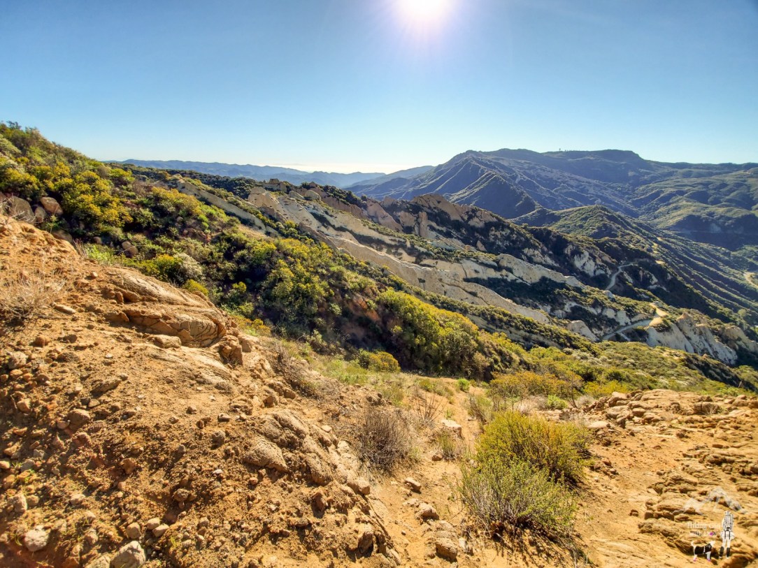
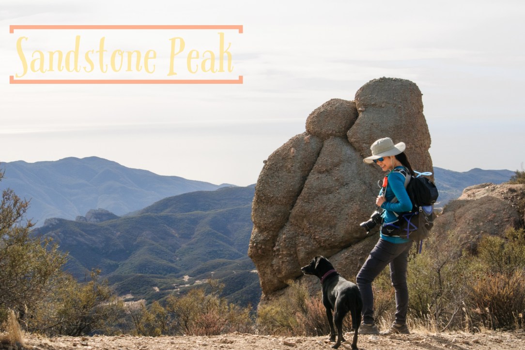
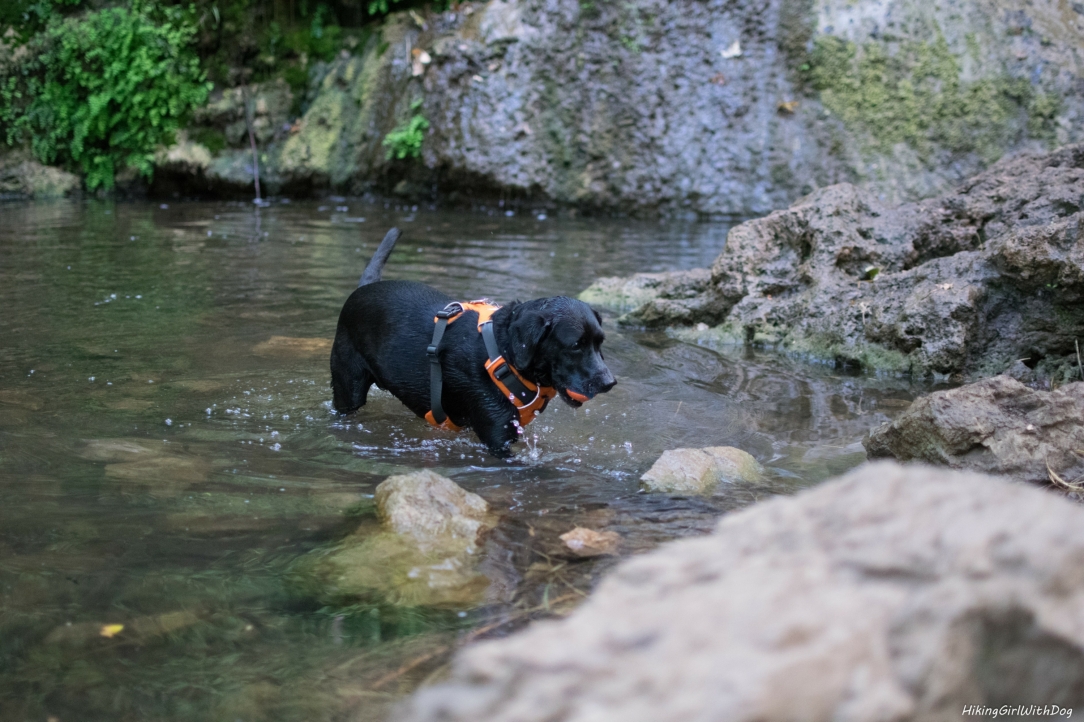
Here is another hike from Calabasas, CA. This is a moderately-trafficked trail. There is a dirt turnout on Stunt Road across from the trailhead for parking. This turnout is also used for Stunt High Trail parking so it can get crowded later in the morning. However, if you plan to start hiking before 9 AM,
Tag: Santa Monica Mountains
Calabasas is too hot for us during the warm months so we checked out a couple of hikes back in January/February taking advantage of the cooler weather. There is a dirt turnout on Stunt Road by the trailhead for parking. When we reached around 8:30 AM, there was just one other car. If you usually
At 3,111 feet, Sandstone Peak is the tallest point in the Santa Monica Mountains. Last time we tried this hike back in May of 2015, it was too warm and too crowded for our liking. We completed the loop but opted out from summiting the peak. Xena struggled with the heat and I didn’t want
Here is another waterfall hike. This time in Malibu in the Santa Monica Mountains. Waterfall hikes are popular. I recommend doing this very early in the morning. A small parking lot is on Winding Way at the intersection of Pacific Coast Highway (PCH) and Winding Way. This parking lot gets full quickly. It’s normally full
Malibu has been our favorite place to explore during summer since I started hiking with Xena. There are several dog-friendly trails ranging from 3 to 6+ miles long. You can easily finish them in 2-3 hours with breaks. Although these trails are open all year round, I like them especially in summer due to its
The entrance to the park is clearly marked with a sign on Encinal Canyon Rd. Drive on Carmichael Rd until you see the parking on your right. Get an envelope from the stand (photo below), fill out your vehicle information, then put the money ($4/car) in the envelope and insert it in the slot. Β Now
The trailhead is located at the end of Bonsall Dr in Malibu. Easy enough. As usual, I had to use the porta-potty once I got there. It’s the coffee, I know, but I must have my coffee in the morning. I must. I picked up a map at the trailhead – that was nice – and