Calabasas is too hot for us during the warm months so we checked out a couple of hikes back in January/February taking advantage of the cooler weather.
There is a dirt turnout on Stunt Road by the trailhead for parking. When we reached around 8:30 AM, there was just one other car. If you usually hike later in the morning, expect more cars as this turnout is also used for the Calabasas Peak hike.
After parking your car at the turnout, walk toward the metal gate. The hike begins behind the gate. There is a porta-potty provided by Mountains Restoration Trust. So not a fan of graffitis, but after this tunnel, the view is better.

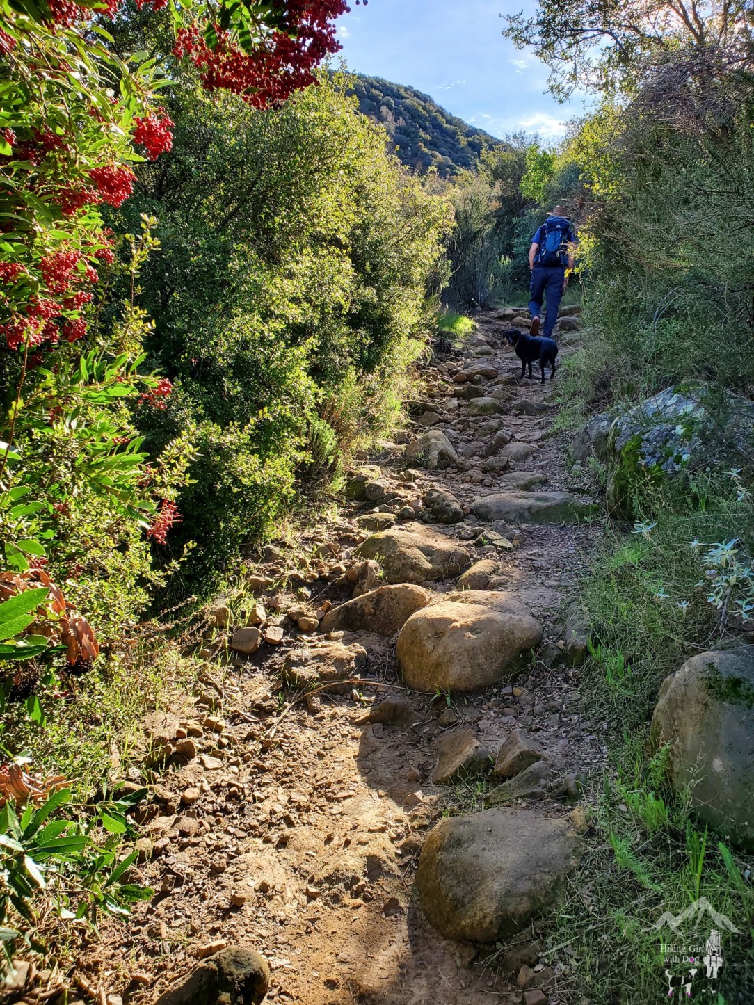
This hike is easy to follow. There are signs at each junction so follow the signs and stay on Stunt High Trail.
The first 0.6 miles of this hike took us through the shaded part of Cold Creek Canyon Preserve with a flowing creek. It was very nice to my surprise.
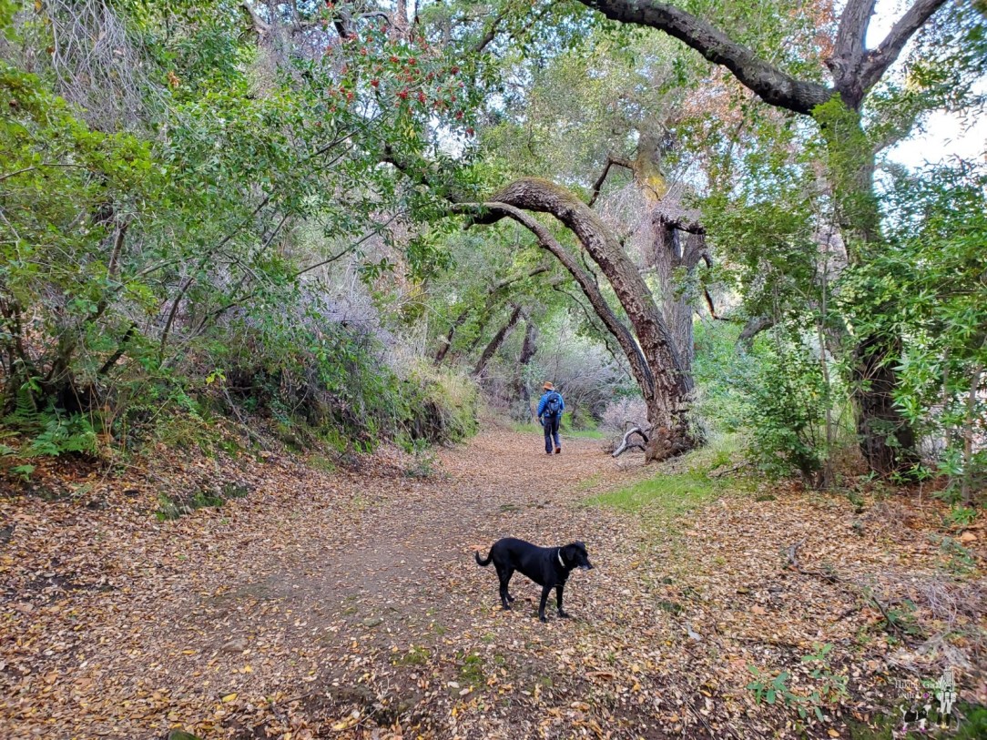
It is always nice to have the trail to ourselves.
After a mile, the trail takes you near the UCLA Stunt Ranch Reserve. Follow the sign for Stunt High Trail.

Book a custom Adventure Dog photo session with Outdoor Dog Photography today!

When you come to Stunt Ranch Rd, connect with the Stunt High Trail on the opposite side. Easy.

You will also have to cross Stunt Rd once to connect with Stunt High Trail. This is a bit more tricky since there is no sign. Stunt High Trail is located to your right so walk along Stunt Rd (less than 0.1 miles) until you spot the trail across Stunt Rd then cross.
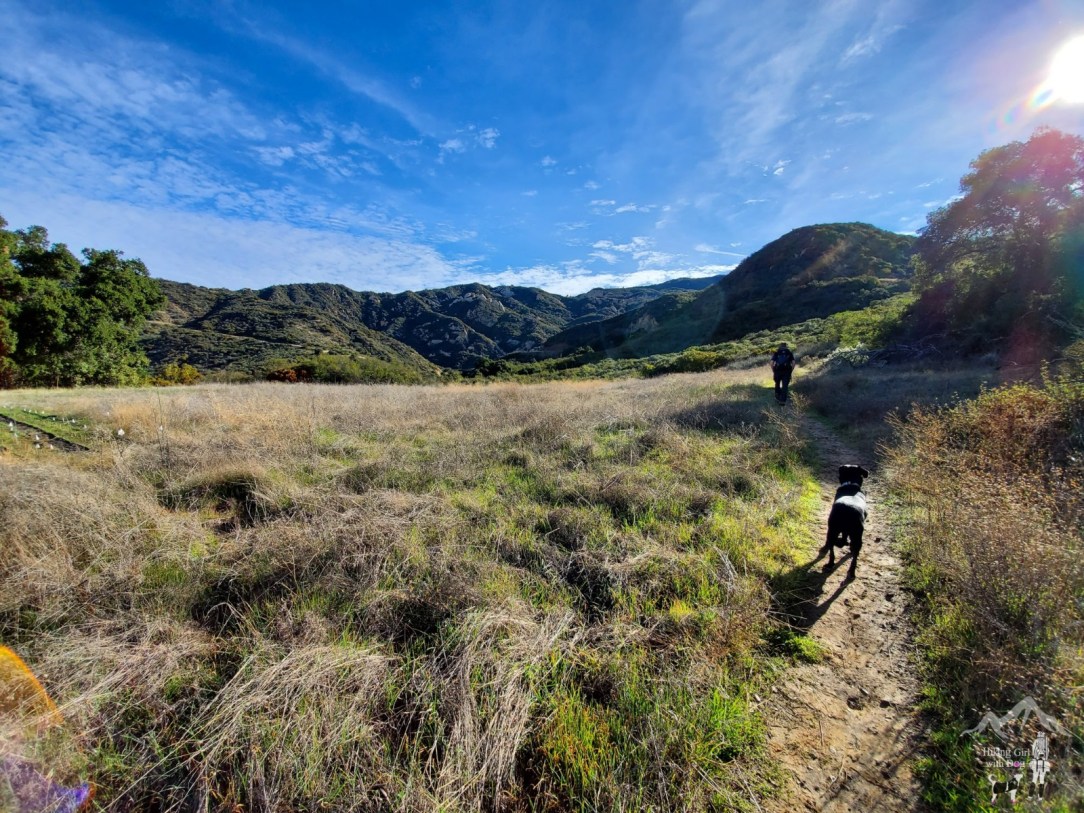
As you gain elevation, you will have the view of Calabasas Peak across Stunt Rd on the north.

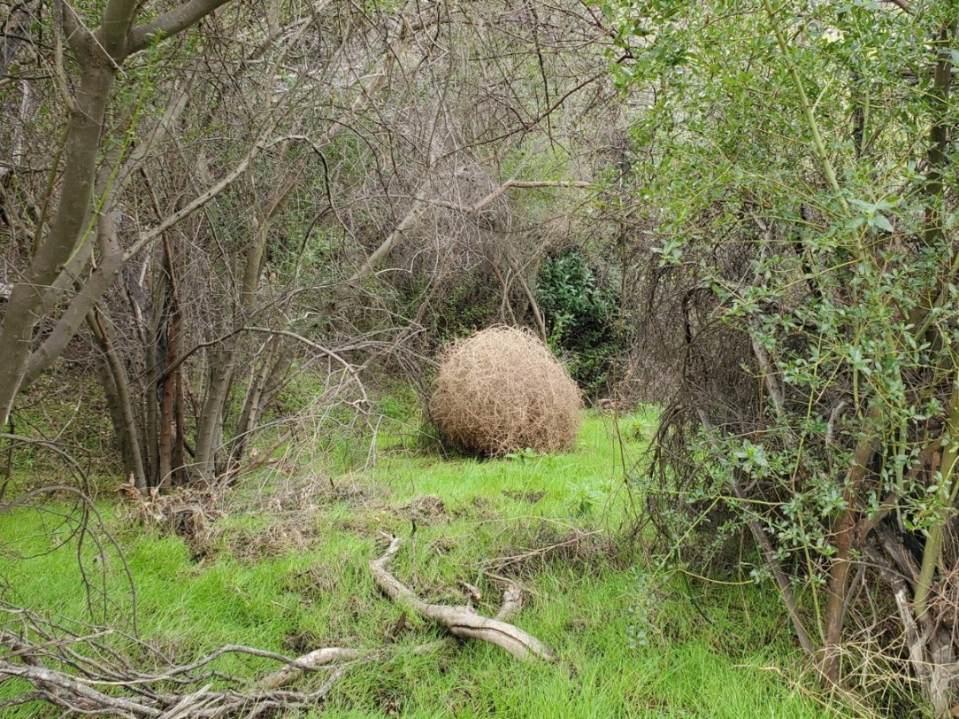
The biggest tumbleweed I’ve ever seen on the side of the trail!
We had an overcast sky. It was a perfect condition for hiking. But if you hike here when it’s warm, be aware of rattlesnakes in this area.

Next time you reach Stunt Rd again, you have reached the turning point. This is an out-and-back route. When you are ready, go back the way you came up.
The view from the top is pretty nice but standing right next to the road isn’t. This is definitely not a destination hike; however, it makes a good uphill workout if you live nearby!
Good to Know:
- Hike Date: 1.19.20
- Distance: 4.1 miles RT
- Elevation Gain: 940 ft.
- Maximum Altitude: 1,945 ft.
- Difficulty Rating: Moderate-Challenging
- Trailhead/Parking: 34.095189, -118.649269 (copy/paste to your GPS)
- Fee/Permit: None
- Porta-potty available at the trailhead
- Notable: Exposed, moderately trafficked, rattlesnakes during warm months, hiking-only trail
Get Our Latest Comprehensive Dog-friendly Trail List Here. Enjoy!
Happy Hiking!


I just did that one recently too for the first time. It was beautiful! I hear it’s a great trail for wildflower viewing, so plan to go back soon.
One of these days, we will run into you and Tommy!!
Great photos. Loving your blogs 👍🐾🐾
Thank you for reading!