
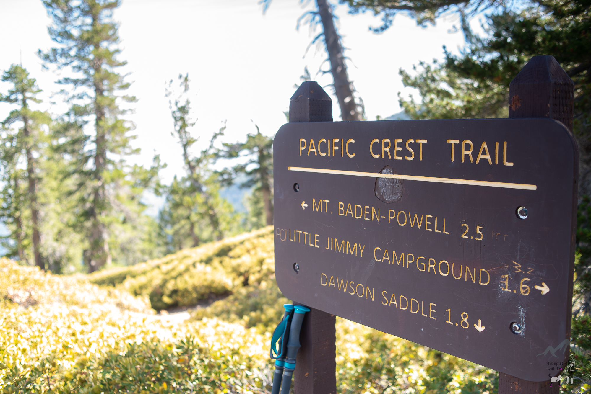
This hike begins from Dawson Saddle (Elev. 7,901 ft). Since I already covered the Dawson Saddle trail in one of my previous write-ups, I won’t repeat it here for our regular readers. If you’d like to know where to park and how to get to the trailhead, please refer to our Mt Hawkins & Throop Peak via Dawson Saddle hiking guide. The total distance in this hiking guide includes the walk from the parking lot to the trailhead. All steps count! :)
Trekking through the less-traveled Dawson Saddle Trail was peaceful. I could feel my blood pressure dropping. Although I don’t suffer from high blood pressure, it always feels good. After 1.8 miles, we reached the edge of Sheep Wilderness, and we were greeted by the trail sign. We continued toward Mt Baden-Powell via the Pacific Crest Trail(PCT).
Xena and I hiked to Mt Baden-Powell before with our friends, and that time we began the hike from the Vicent Gap parking lot. That hike is slightly shorter with slightly more elevation gain, and it’s the popular route to Mt Baden-Powell. Both hikes are rated difficult.
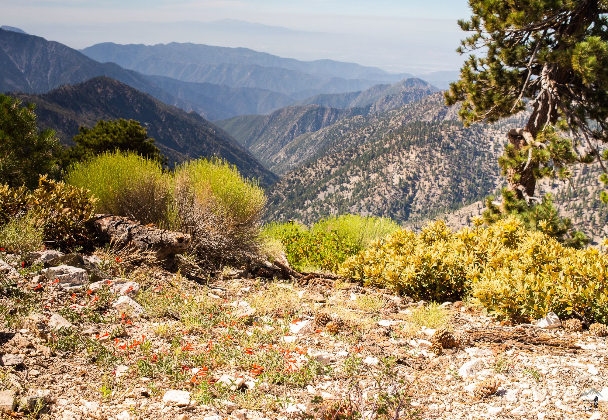
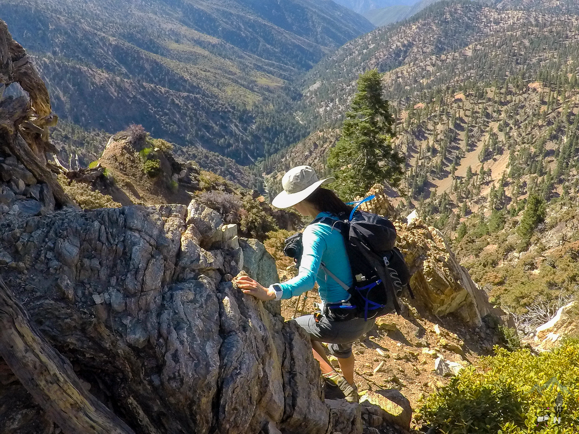
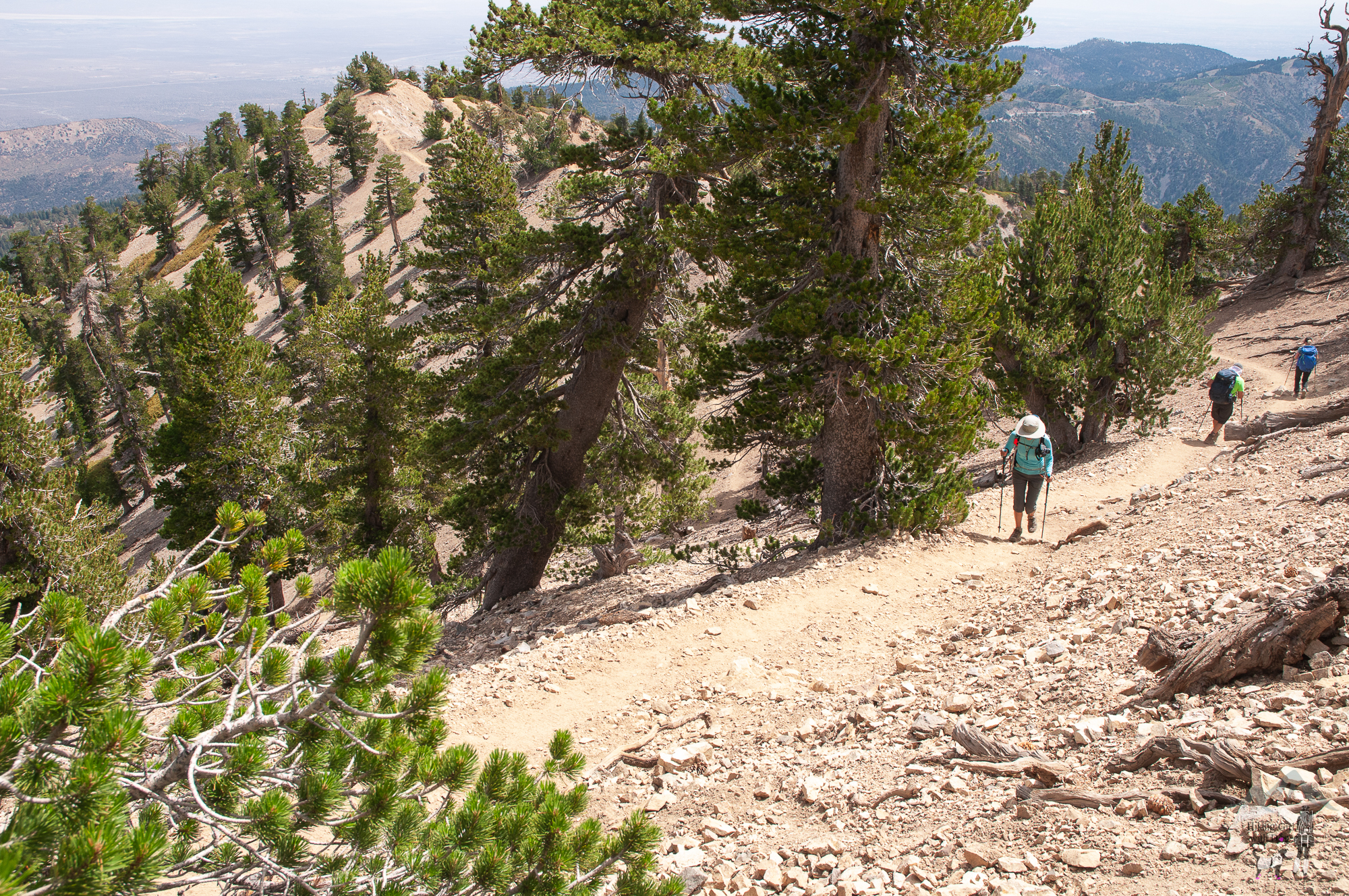
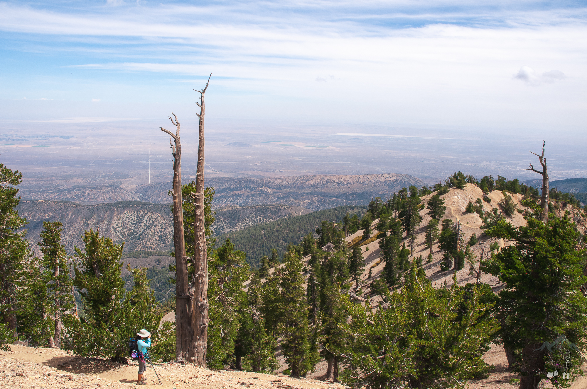
Compared to the popular route, the PCT on this side of the mountain was less traveled and more beautiful. I enjoyed the stunning view of the Sheep Wilderness to the south and the vast view of the desert to the north.
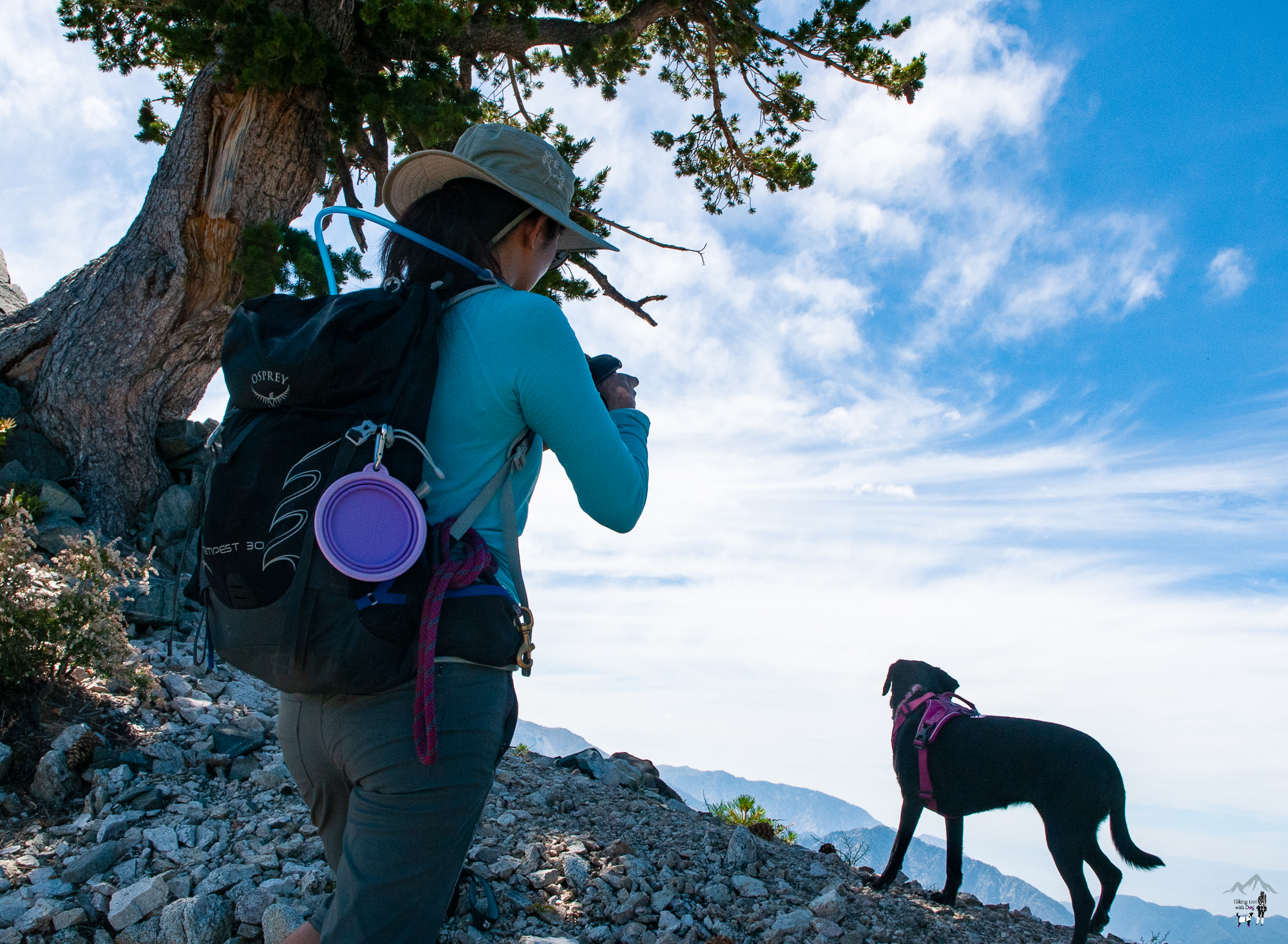
When we hike along the ridge of a mountain, Xena likes to go up to the ridge and admire the view. I love that about her. Here is me capturing the moment.
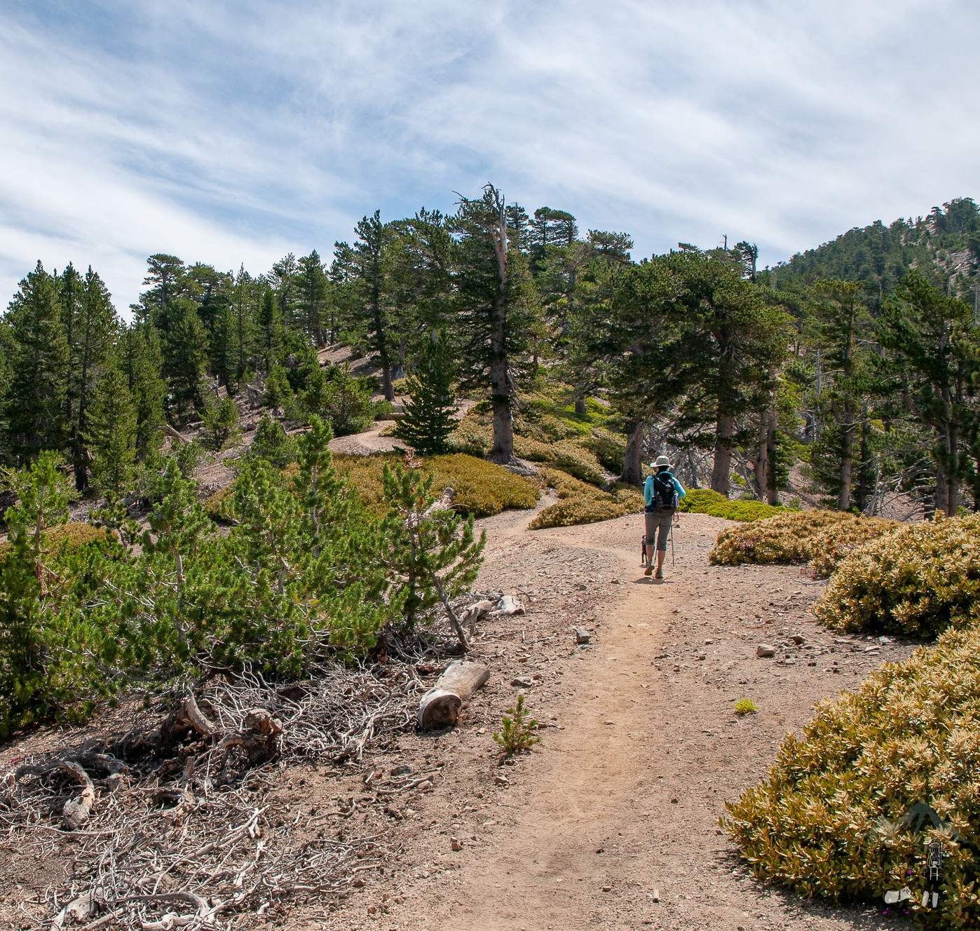
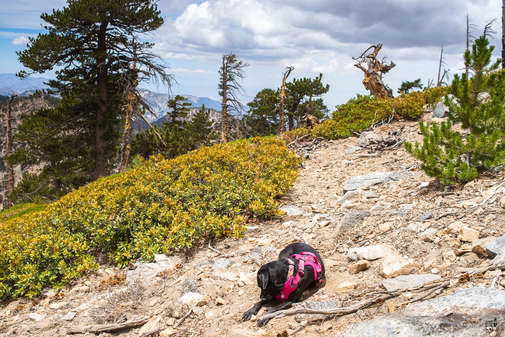
The terrain was rocky at times, but it was pretty easy overall. There are some steep climbs but not for long periods. It was a very enjoyable trail with a gradual incline.

I didn’t get down far, but it was a good test of my progress of overcoming the fear of heights nonetheless. I am content with the progress I’ve made so far. Desensitization is in the works.
After my little shenanigans, we continued on to the PCT.
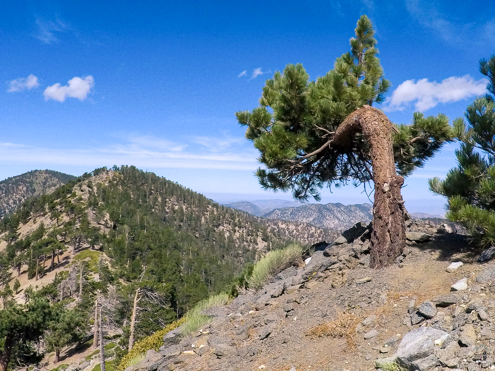
After 4.3 miles, the trail met up with PCT that started from the Vicent Gap parking lot. Up to this point, we only ran into a couple of hikers. That was about to change. We turned right toward the summit.
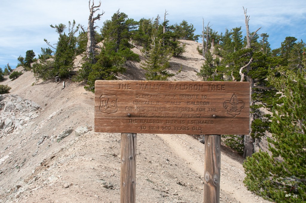
Then, shortly after we reached the “Wally” Waldron tree. The tree is estimated to be 1,500 years old.
Keep on climbing. The summit is only 0.25 miles from there.
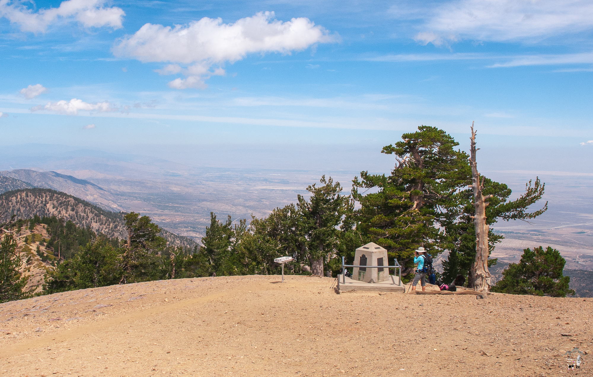
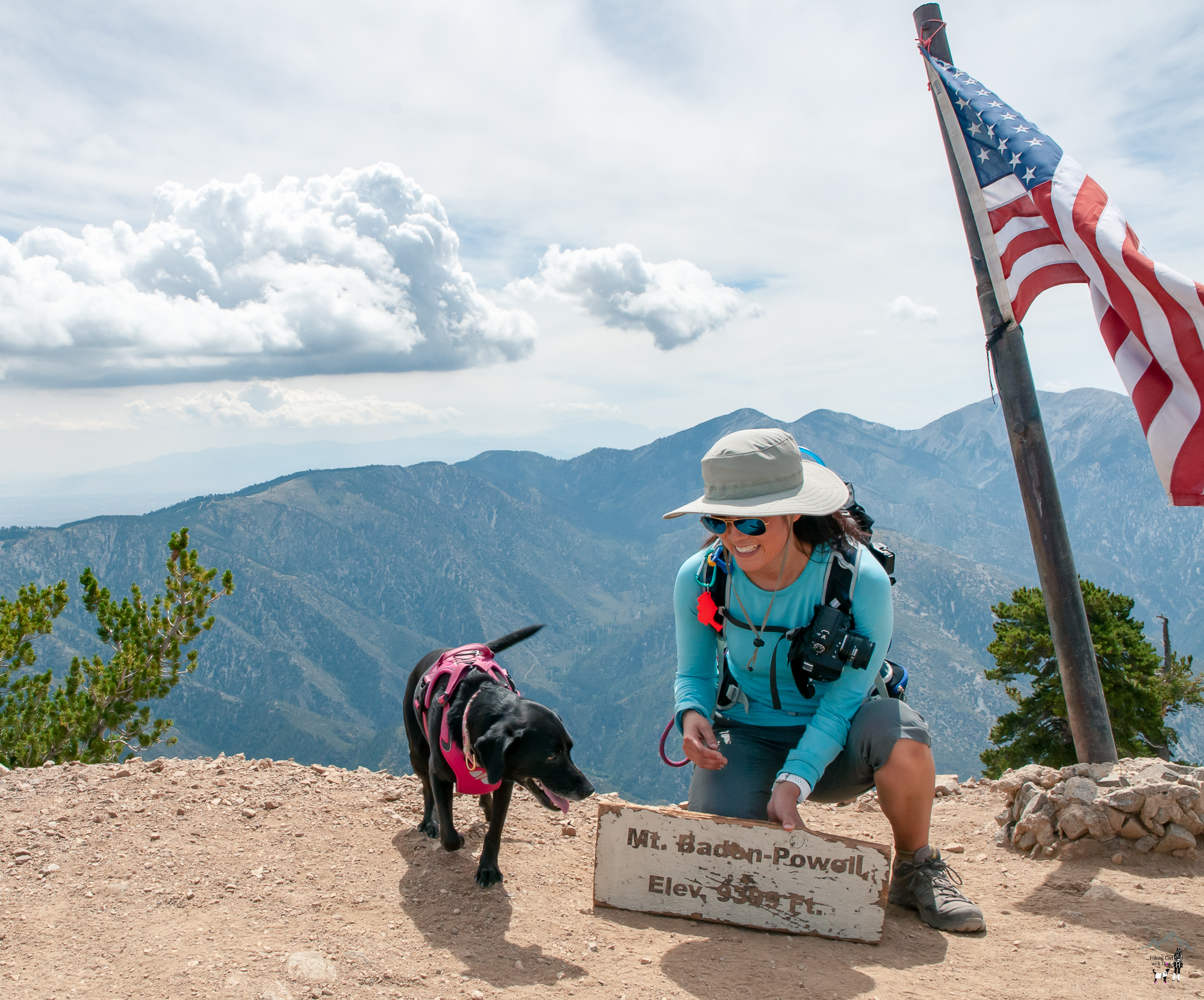
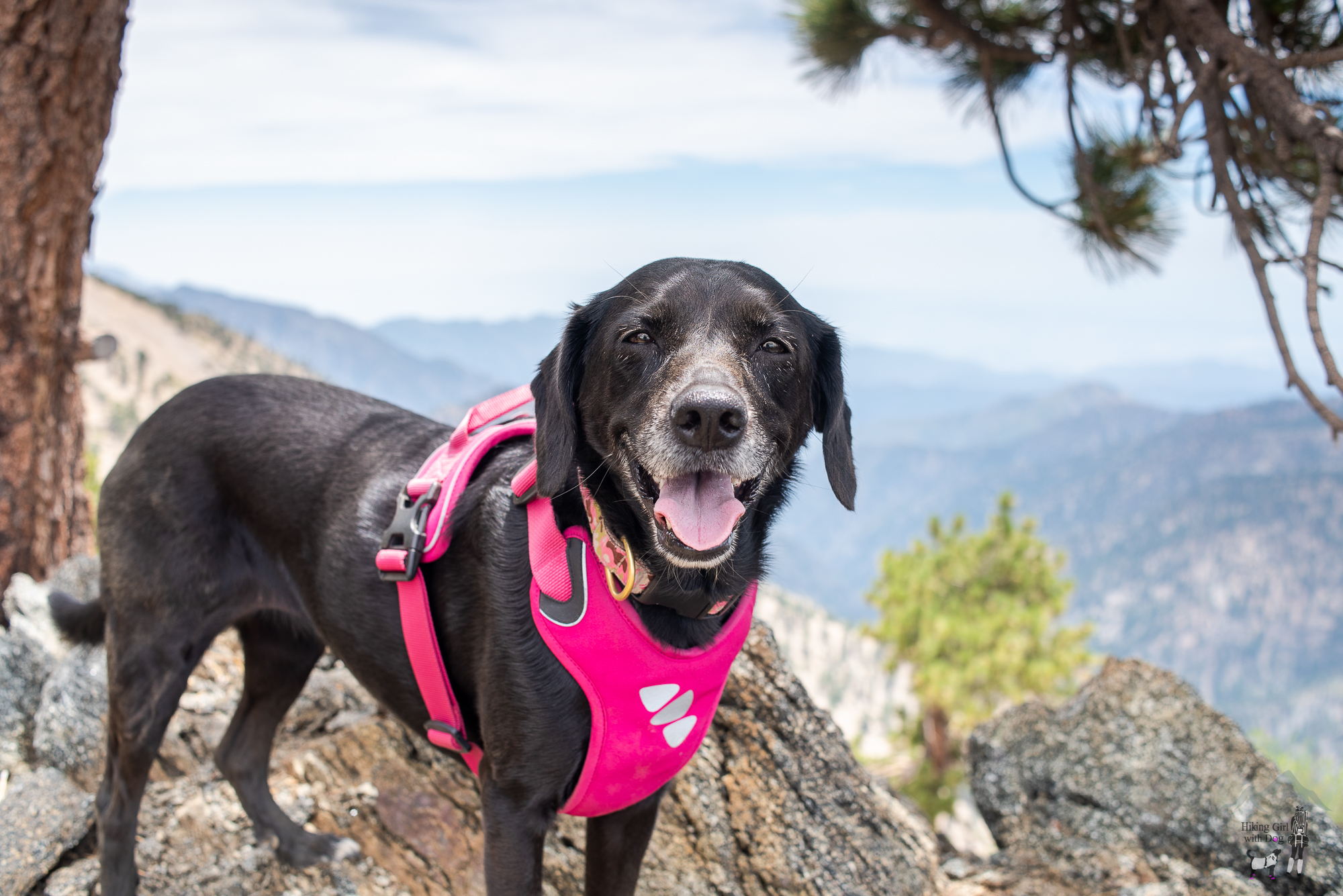
After the photo ops at the summit, we found a quiet spot for lunch and some hammock time in the shade. Xena preferred to soak in the sun instead so that’s what she did.
It’s an out-and-back trail. When you are ready, go down the way you came up.
Regardless of the route, the hike to Mt Baden-Powell is one of the best challenging hikes you can do with your pups in the Angeles National Forest. Ditch the crowds at the local park and enjoy the less-traveled paths once in a while. The incredible 360-degree view at the top is the icing on the cake.
As always, remember to Leave No Trace.
Good to Know:
- Hike Date: 7.21.18
- Distance: 9.2 miles RT
- Elevation Gain: 2,420 ft.
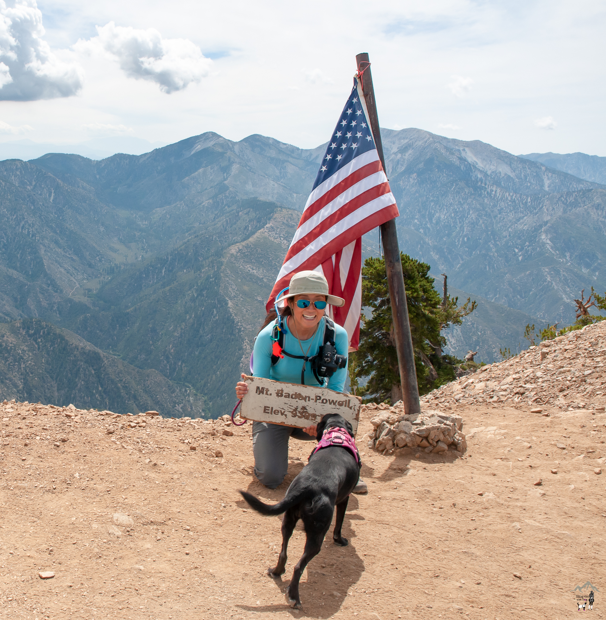
- Mt Baden-Powell sits at 9,406 ft. (2,867 m)
- Difficulty Level: Difficult
- Parking: Dawson Saddle
- Trailhead: 34.367531, -117.801036 (copy/paste onto a GPS app)
- Permit/Fee: Adventure Pass required for parking
- No restroom
Get Our Latest Comprehensive Dog-friendly Trail List Here. Enjoy!
Happy Hiking!


Nice hike. I like Xena’s eye-wear… wonder how she likes the view? ;-)
Thanks, Mike! She seems to not mind the goggles at all. WIthout squinting, she can enjoy her view better!
Good to see you back! As always, great pictures.
Thank you, Andrick! I just got back from a 9-day trip so I was busy with either preparing for the trip or traveling. All good. Looking forward to sharing the pictures from the hikes I did on the trip! :)
Looks amazing well done.
Thank you, Kelly!
This hike looks gorgeous!
Hard to compare it to the hikes you get to do in beautiful Alaska but it is one of my new favorites now. Beautiful and tranquil!
Thanks for posting this route! Your trail guide was the best one I found going from Dawson Saddle. We have done it twice from Vincent Gap and loved this as an alternative because going up the switchbacks is incredibly crowded on the weekends. And your dog looks so sweet!
Yes, she is! Thank you. :) And thanks for your feedback! Appreciate it. I really like this route. Glad you did too.
Sorry to tell you, that was not the Wally Waldren Tree. You would not pass the Waldren tree coming from the Dawsone Saddle trail before you get to the summit. There is a sign on the Waldren tree.
Hi Aguanno, actually, it was the Wally Waldren Tree. I know because I took a picture of the sign. 🙂 I believe you took the shorter but direct route to the summit after 4 miles. Then, you are right, you wouldn’t pass the tree.