
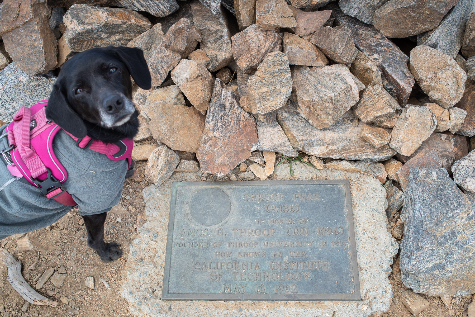
Throop Peak is named after Amos G. Throop, the founder of Throop University in 1891. Today it’s known as the California Institute of Technology. To get to Dawson Saddle (Elev. 7,901 ft), click on the link below and get the directions from the Google map.
Dawson Saddle is clearly marked. You will have to cross the Angeles Crest Hwy to get to the Dawson Saddle trailhead which is about 400 ft east of the Dawson Saddle parking. Although there is no sign at the trailhead, it clearly looks like a single track trail. There is a big brown metal Dawson Saddle Trail sign on the trail shortly after to confirm.
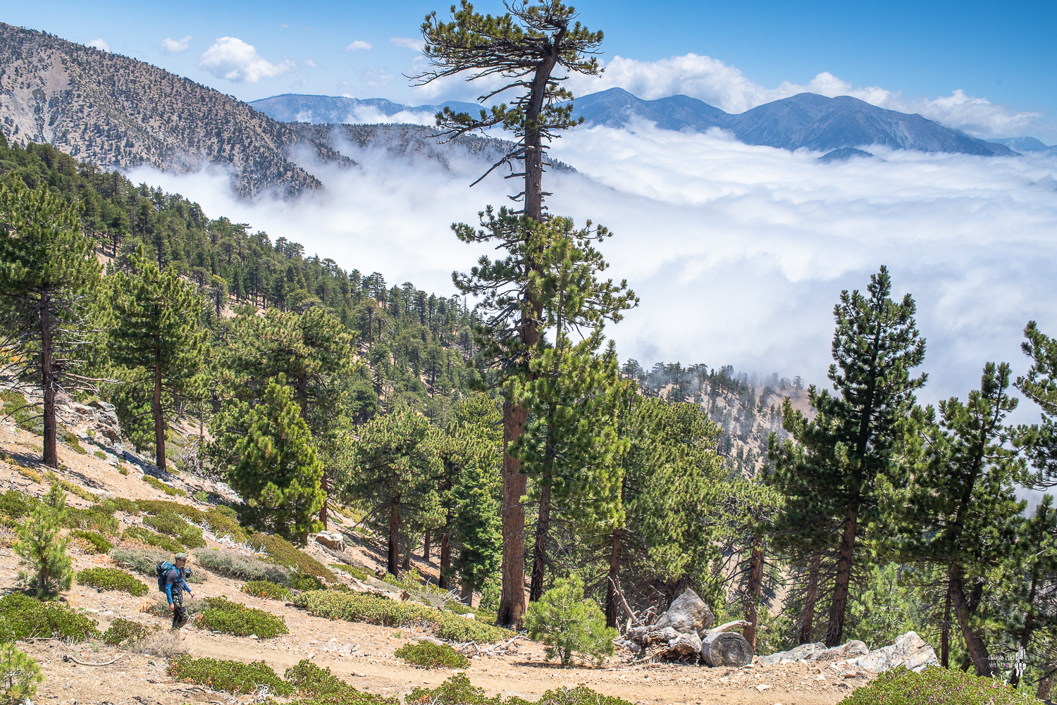
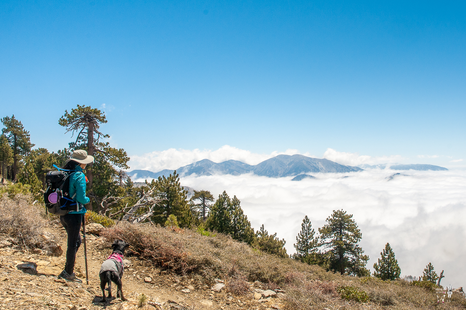
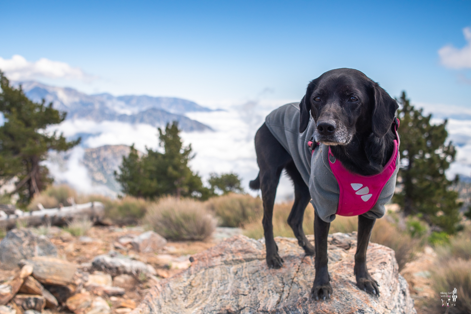
Although we started the hike late (near 10 AM), the temperature was pleasantly cool since we were near 8,000 ft. It felt great. After quick three(3) switchbacks, we were already above the clouds. I can almost smell the crisp fresh mountain air in this photo.

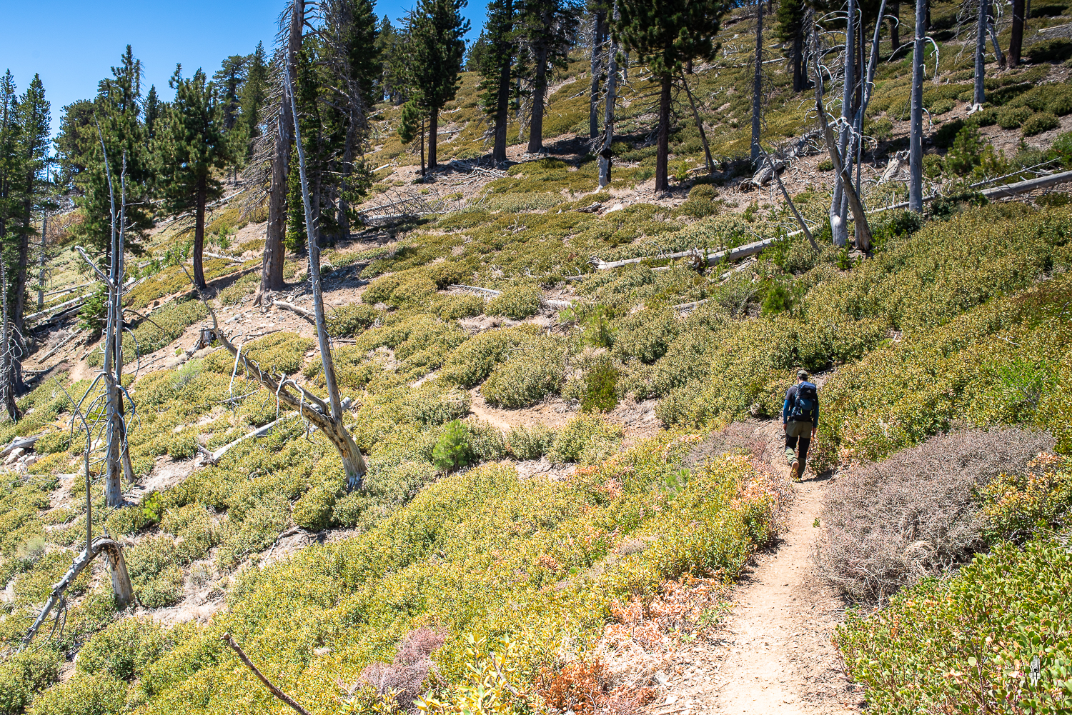
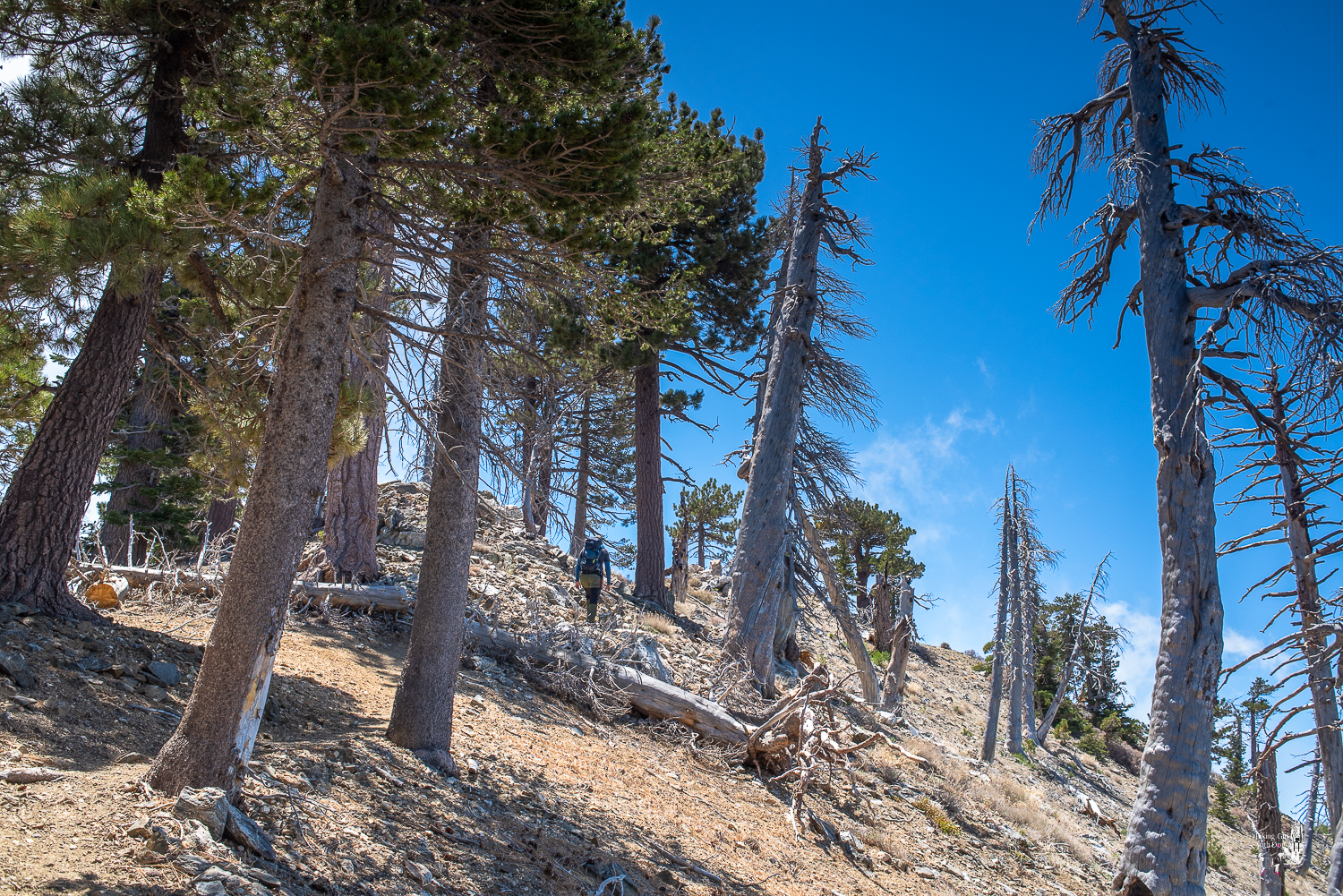
The trail opened up and the incline became gradual.
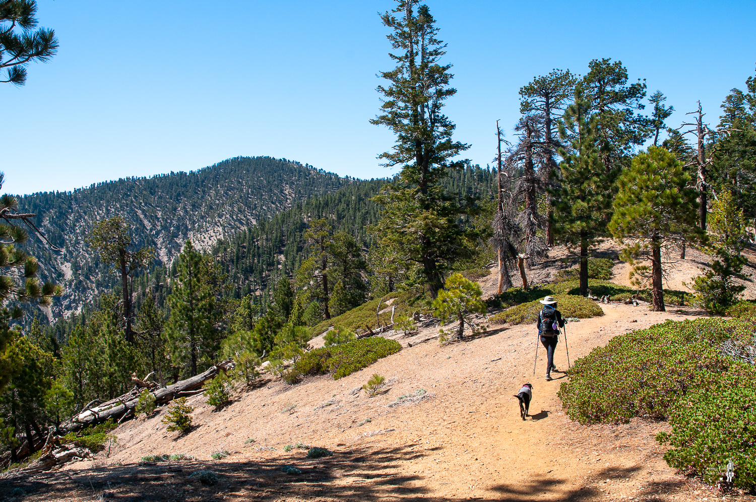
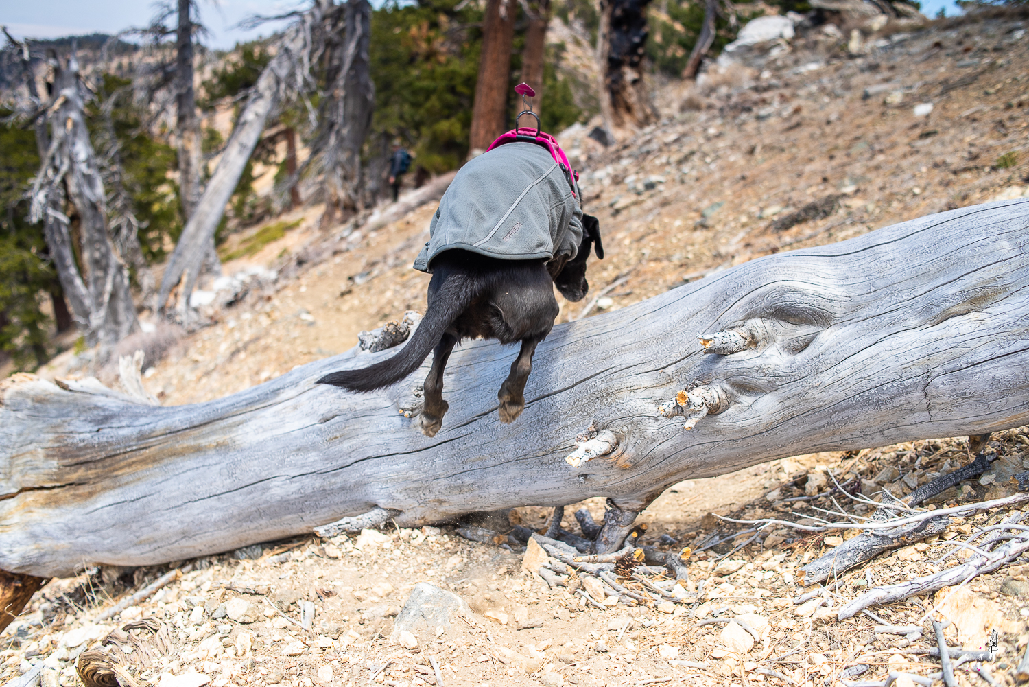
The lightly trafficked Dawson Saddle Trail was beautiful and it was worth the drive. On Dawson Saddle Trail, we ran into some alive and some dead wildlife but both interesting nonetheless.

At the 1.91-mile mark, the trail came to PCT (Pacific Crest Trail) where Sheep Wilderness began to the east. Here, you decide if you want to go up to Throop Peak first by following the single track to the peak on your right before the trail sign or take PCT to South Mount Hawkins to your right. South Mount Hawkins is further away so I decided to take on Mt Hawkins first then hit Throop Peak on the way back.
If you turn left on PCT here, it will take you to Mt Baden-Powell. Another beautiful hike in the high San Gabriel Mountains. I haven’t done this route yet so I will be exploring this soon with my girl by my side.

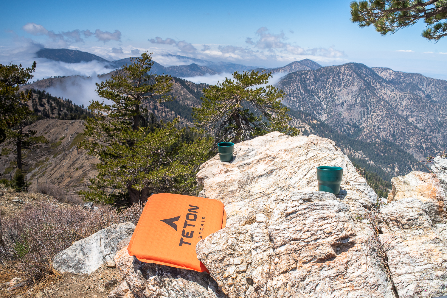
After taking a couple pictures here, we headed towards Mt Hawkins. The views from this section of PCT though. Seriously!! Can’t wait to go back already!
The final climb to Mt Hawkins
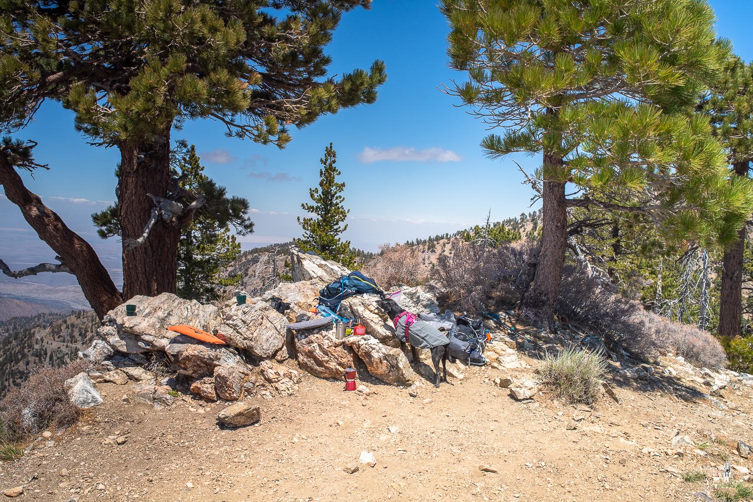
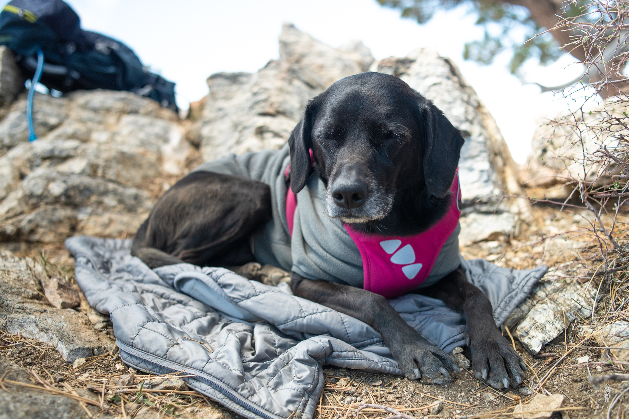
For this dog mom, I couldn’t have asked for a better day for Mother’s Day hike and lunch in the mountains.
When she thought the rice ball was for sharing
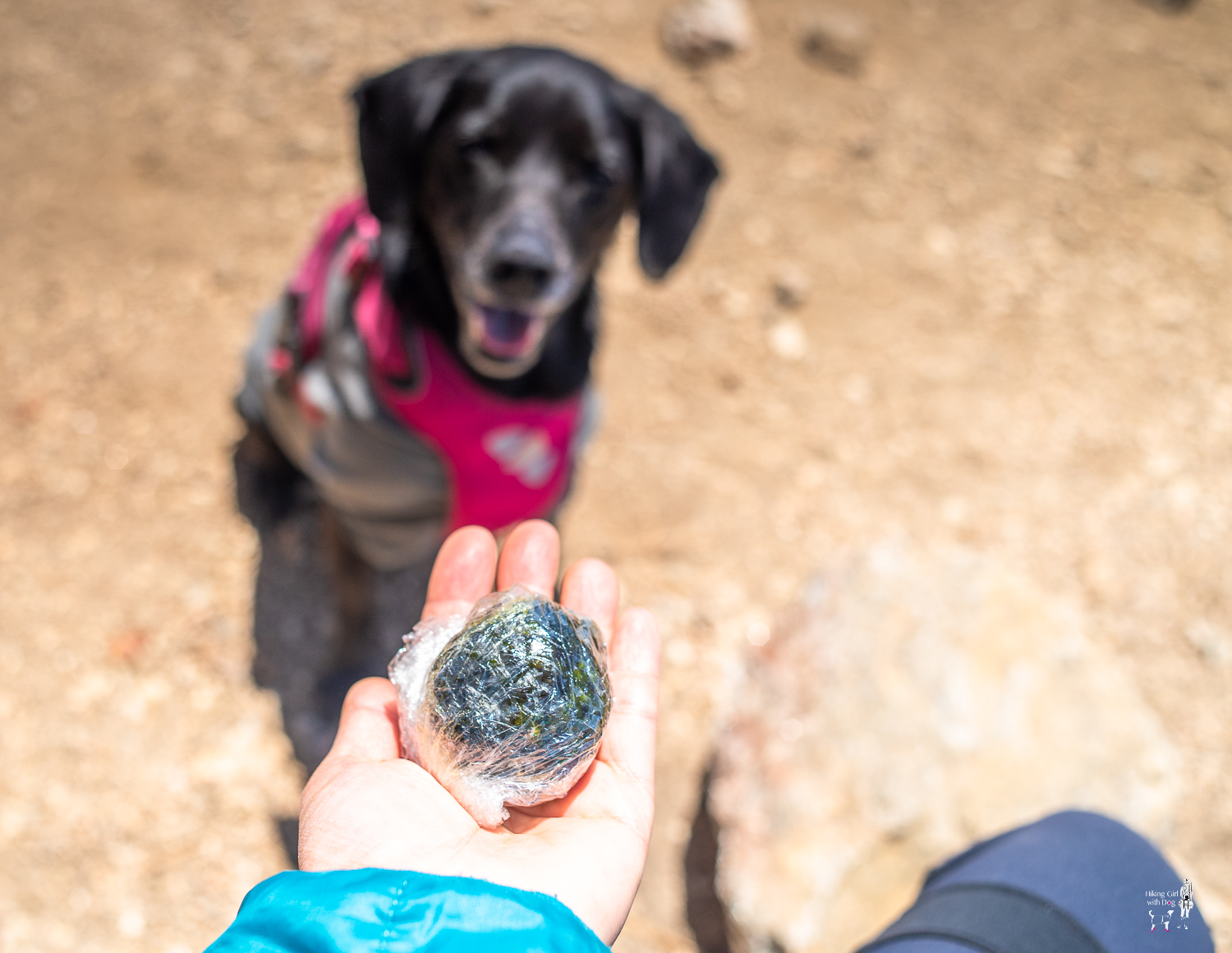
After she was told No because it had jalapenos
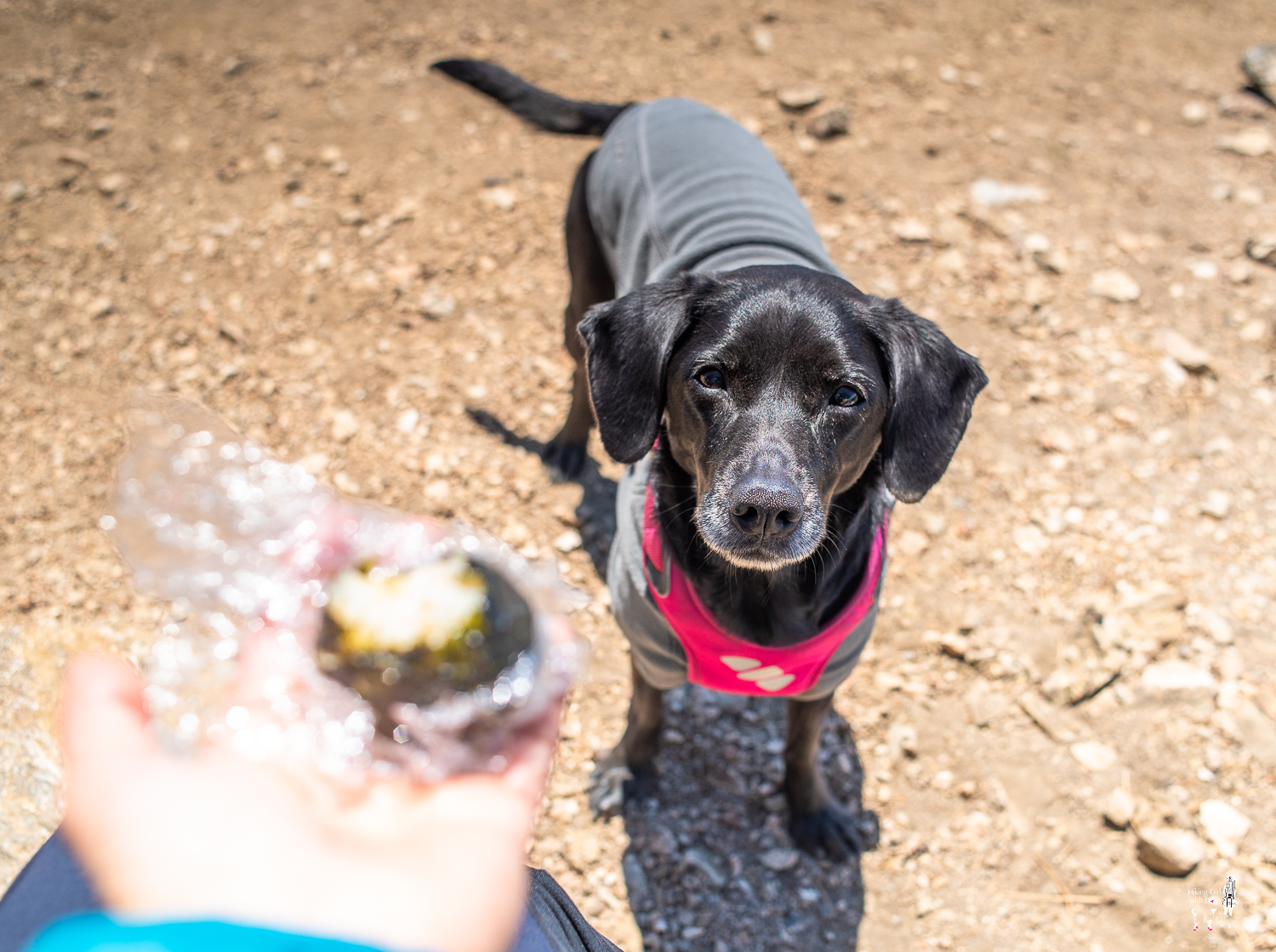

Don’t worry, she had her lunch and treats. She always manages to eat more than I do on the trails.
Moving on to the next peak. Throop Peak, here we come. Get back on PCT and go back the way you came up.
Take a narrow side trail when it appears on your left approximately at the 3.55-mile mark. You might see some hikers who are on the descent from Throop Peak here.

Whenever you are ready, trace a narrow trail facing the north. This trail takes you back to the PCT junction you came to earlier. Take Dawson Saddle Trail back to the trailhead. Dawson Saddle is 1.9 miles from here. As always, Leave No Trace.
Good to Know:
- Hike Date: 5.13.18
- Distance: 6.2 miles RT
- Elevation Gain: 1,495 ft
- Difficulty Rating: Challenging
- South Mount Hawkins sits at 7,782′ and Throop Peak sits at 9,138′
- Parking: Dawson Saddle
- Trailhead Coordinates: 34.367531, -117.801036
- Permit/Fee: Adventure Pass required for parking
- No restroom
- Dawson Saddle Trail was built by Boy Scout in the summer of 1982. 3,540 volunteer hours went to build the trail.
Get Our Latest Comprehensive Dog-friendly Trail List Here. Enjoy!
Happy Hiking!

KEEN Footwear discounts starting at 25% OFF


Another great, scenic hike at decent altitude. I’m sure Xena said, “thanks mom.”
She gave me a card ❤🐶 with a help from the Capt America/Thor. It really was a beautiful hike! A day spent above the clouds is always a good day in my book.
Beautiful!
The view was amazing that day with those clouds!
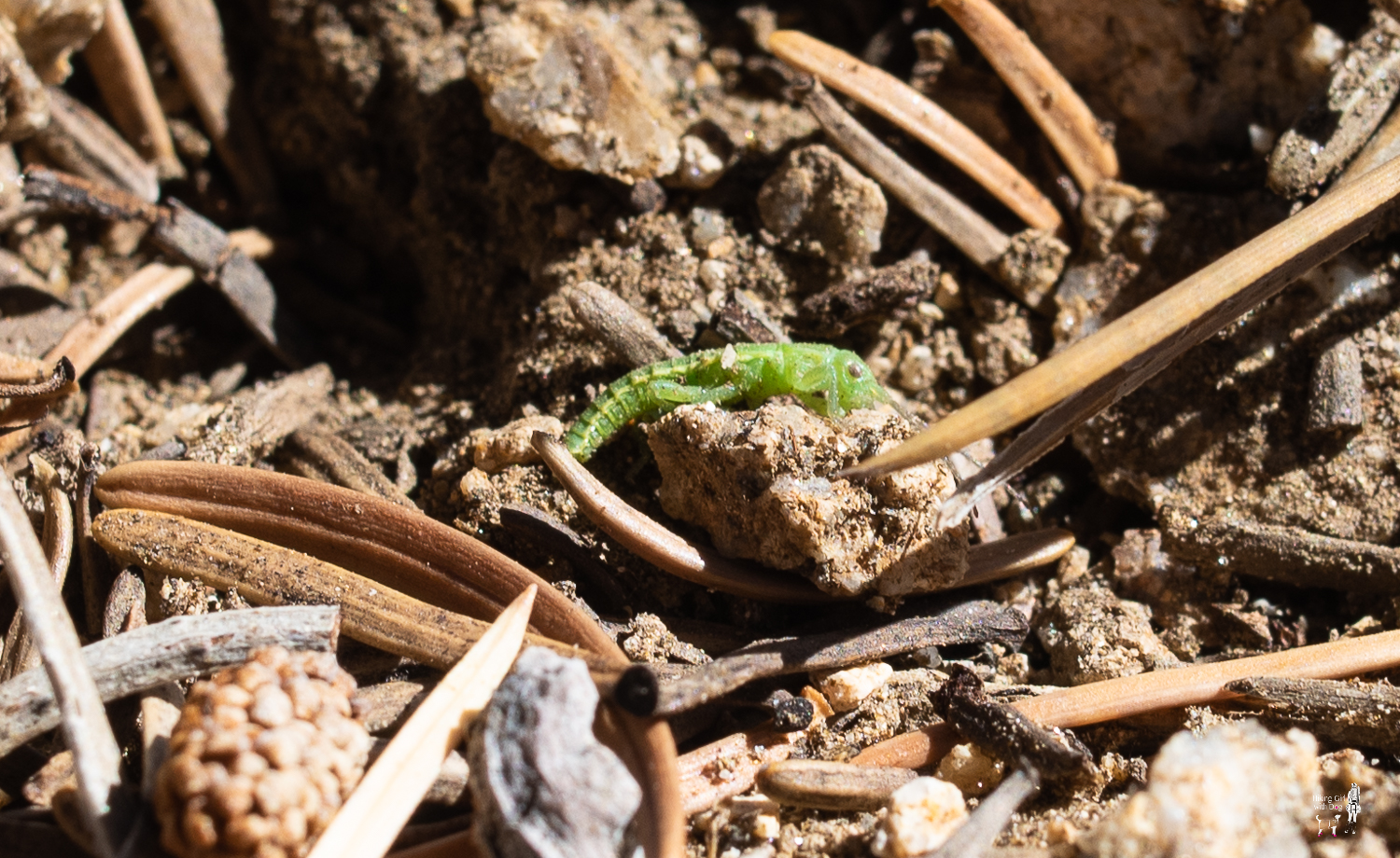
Cool bug. What is it?
I thought maybe you knew. I thought it was a newborn lizard but it doesn’t even have a tail.. so what do I know. Ha.
So cute!
Thank you 😊