This hike has been on my list since last year and with my sister’s wedding and all, I didn’t get to hit the trail much in May. The night before the hike, I kept waking up. I was too excited. At 9,406 feet, Mt Baden-Powell was going to be Xena and my highest peak to conquer yet.
Early Sunday morning before Memorial Day, we met up with our friends at the trailhead. It was a beautiful day and we were all excited to get started. The trail started from the Vincent Gap Divide parking lot. It’s the same parking lot for the popular Big Horn Mine hike.
The narrow dirt trail has a steady ascent. It is well-maintained and easy to follow. The switchbacks take you to the peak without confusion. Take your time. The air gets thinner the higher up you go. We passed by a few used trails that created shortcuts. Even though it’s tempting, try to stay on the trail. Side trails cause trail erosion.
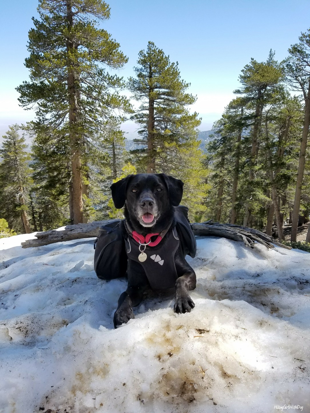
There were some leftover snow patches on the way. Even though the temperature wasn’t high, it was getting too warm for hiking, especially for Xena. Xena decided to lay on one of the patches which called for a short break.
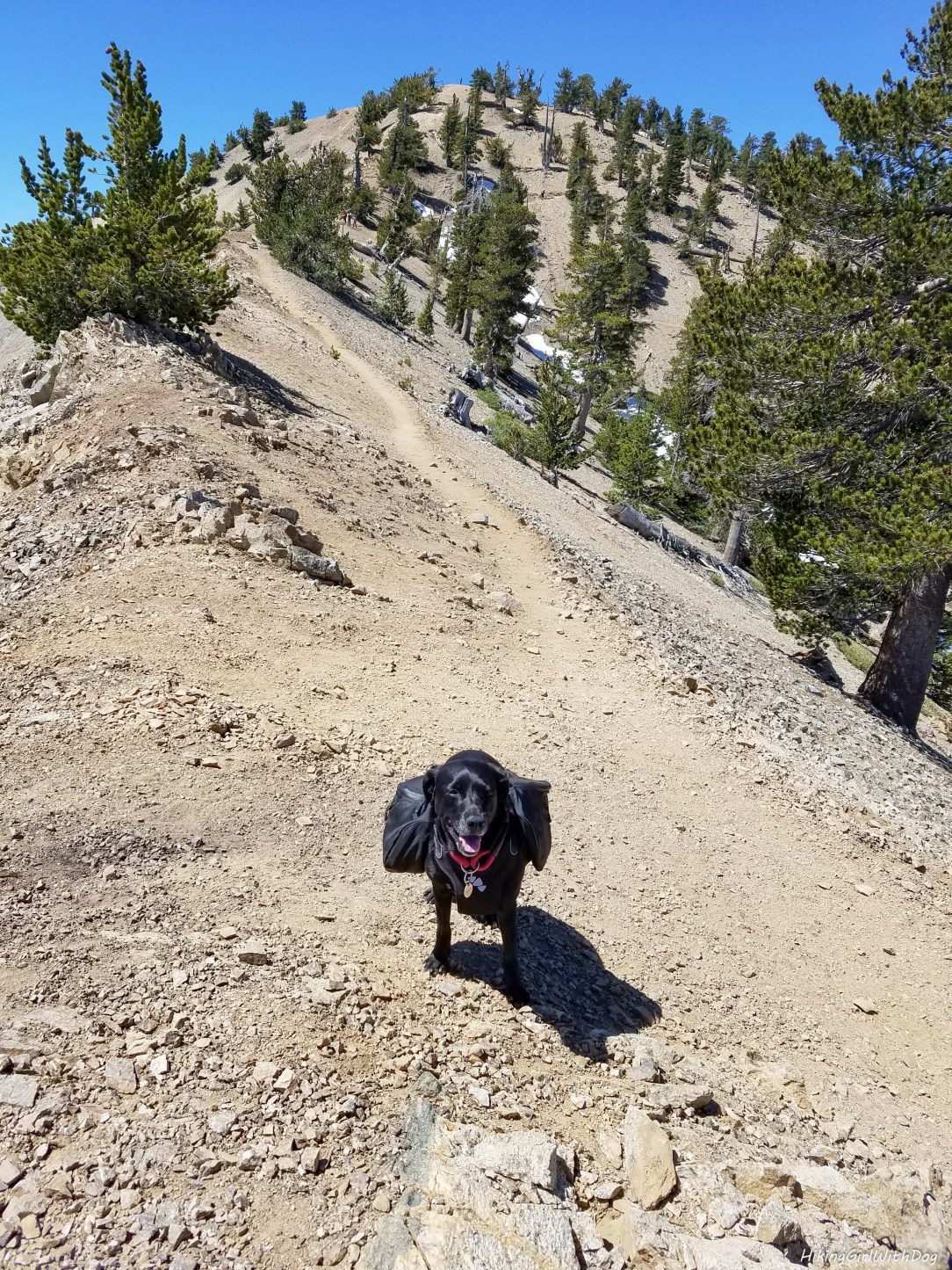
All smiles with the summit within sight.
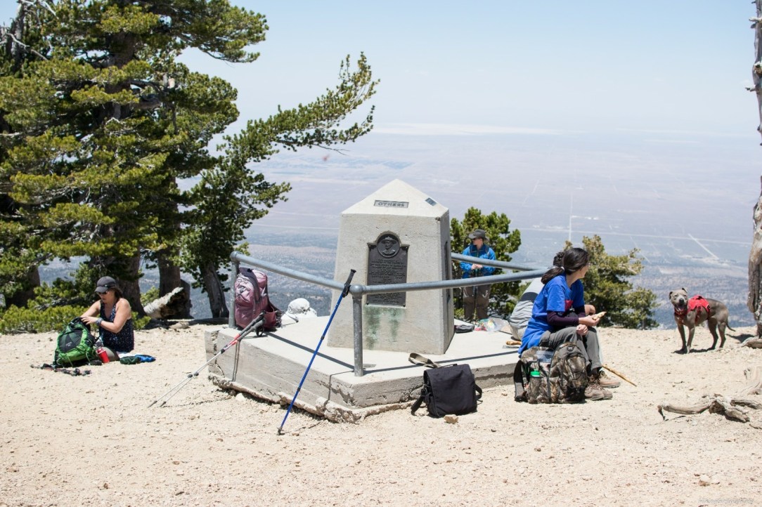
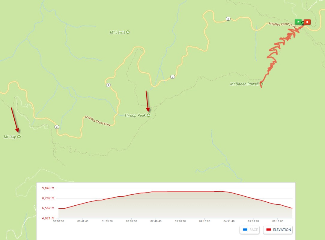
After 4 miles of uphill struggle and gaining 2,726 feet in elevation, we arrived at the summit at last. The 360-degree of stunning view was worth working for though.
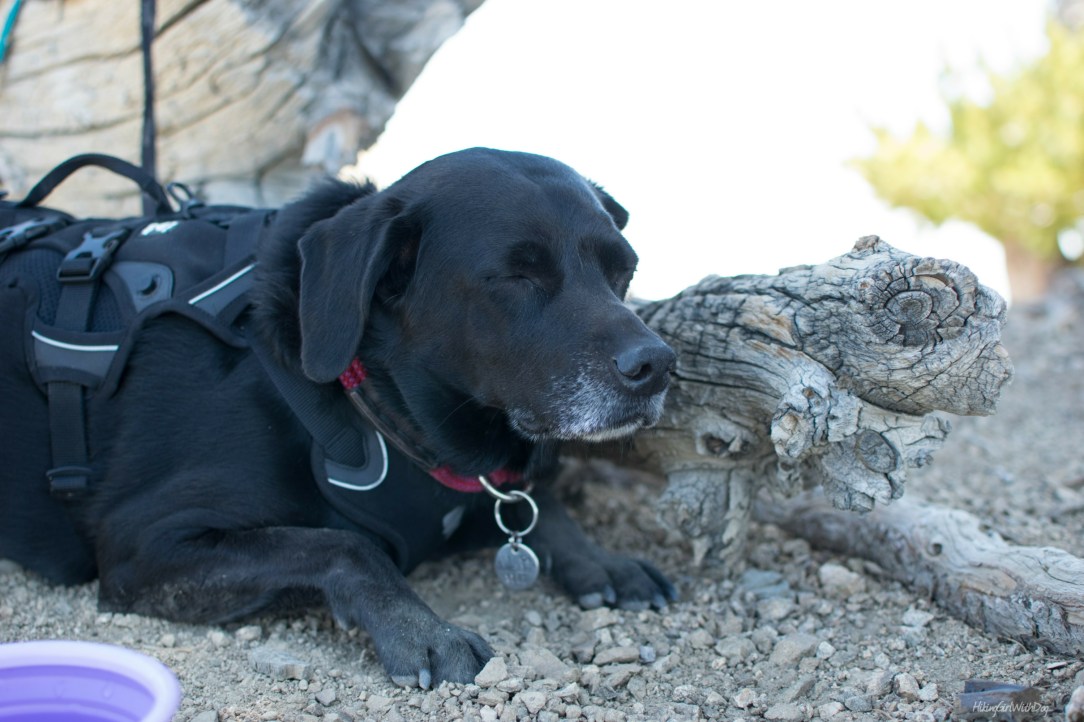
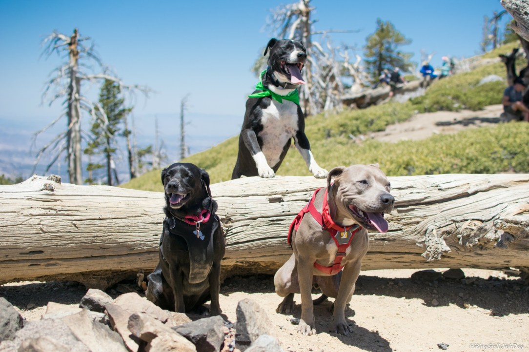
We walked past the summit where most of the hikers were resting and having a lunch break. We continued on Pacific Crest Trail (PCT) a tad longer and found a less crowded area. We settled under a tall tree.
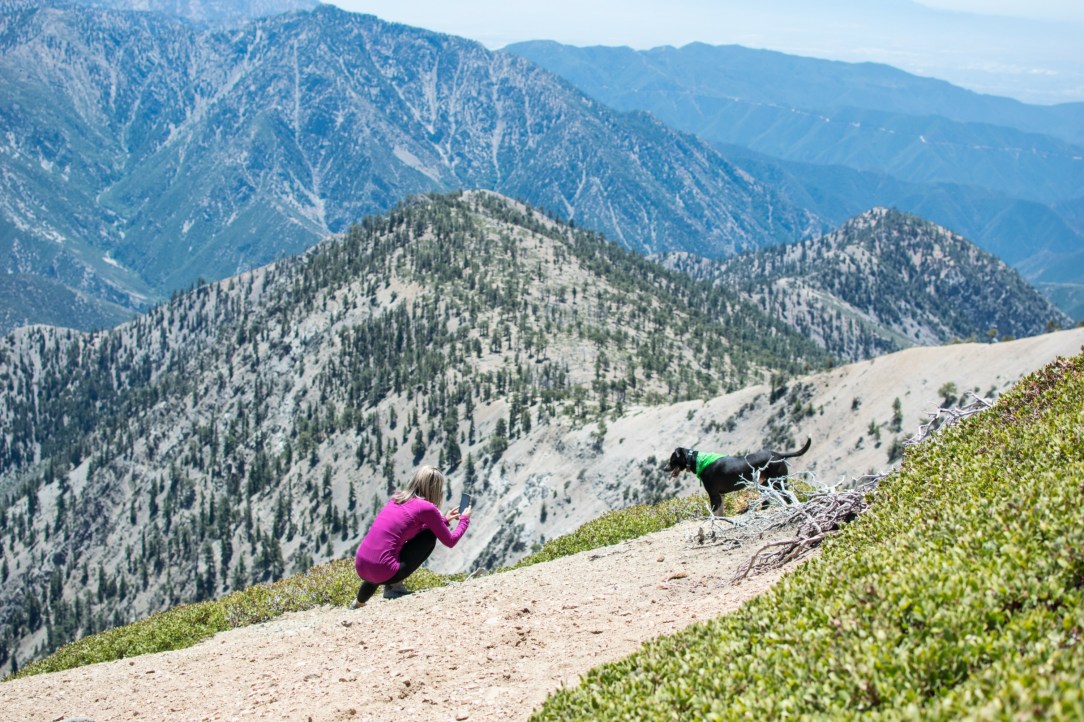
Everyone was feeling the summit high.
When you are ready, just go back down the way you came up as it’s an out and back trail. Going down always feels so much easier!

You can add backpacking to this hike and make it more challenging if you’d like. You can continue on PCT to Throop Peak or even further Mt Islip from here.
Good to Know:
- Hike Date: 5.28.17
- Distance: 8.3 miles RT
- Elevation Gain: 2,834 feet
- Mt Baden-Powell Peak: 9,406 feet
- Difficulty Rating: Difficult
- California Adventure Pass ($5/daily; $30/annual) required for parking
- Trailhead: 34.373292, -117.751981 (copy/paste in to your GPS app)

Get Our Latest Comprehensive Dog-friendly Trail List Here. Enjoy!
Happy Hiking!

KEEN Footwear discounts starting at 25% OFF


Great post and awesome shots of Xena✨
Thanks Eric! :)
Looks like a great hike and a good day as well. I like the picture of Xena snoozing, yet holding her head up. :-) She looks like she’s getting some gray hair, you must be working her on the trails! She looks like my old dog Jazz, but not as gray! Good post and great photos!
Thank you Mike! Haha! She is good at sleeping with her head up while in public. She could’ve been the kid caught sleeping in the class! Her gray hair came in right after she turned 2! She is now 5 1/2. In recent months, she got more gray noticeably. :( BTW, I’d have liked Jazz ;-)
She looks so happy in the snow. And a great with with her buddies. Love it.
She was so satisfied with the snow. LOL. Thanks, lady!
Looks a little too comfy there. Is she really a northern dog deep down inside?
Awesome! It’s been on my list for a while now too! Thanks for the post.
Glad to hear it! :)