
This short moderate hike is one of the most popular hikes in L.A. I highly recommend doing it super early in the morning or on a weekday if that’s feasible.
The trailhead is located at the main parking lot at the bottom of the paved Switzer Truck Trail.
If you park at one of the overflow parking areas at the top, your pup will have to hike down to the trailhead on paved asphalt and then hike back up later on possibly very hot paved asphalt on a narrow winding road. I personally do everything I can to avoid this type of situation, so I thought I should mention it.
Gabrielino Trail begins at two locations off the (main) parking lot. One near the beginning of the parking lot and the other one near the end of the parking lot. You want to take the trail near the beginning and cross a bridge. The early part of the trail will be on paved asphalt taking you through the picnic areas. Don’t worry, it will change to dirt soon.
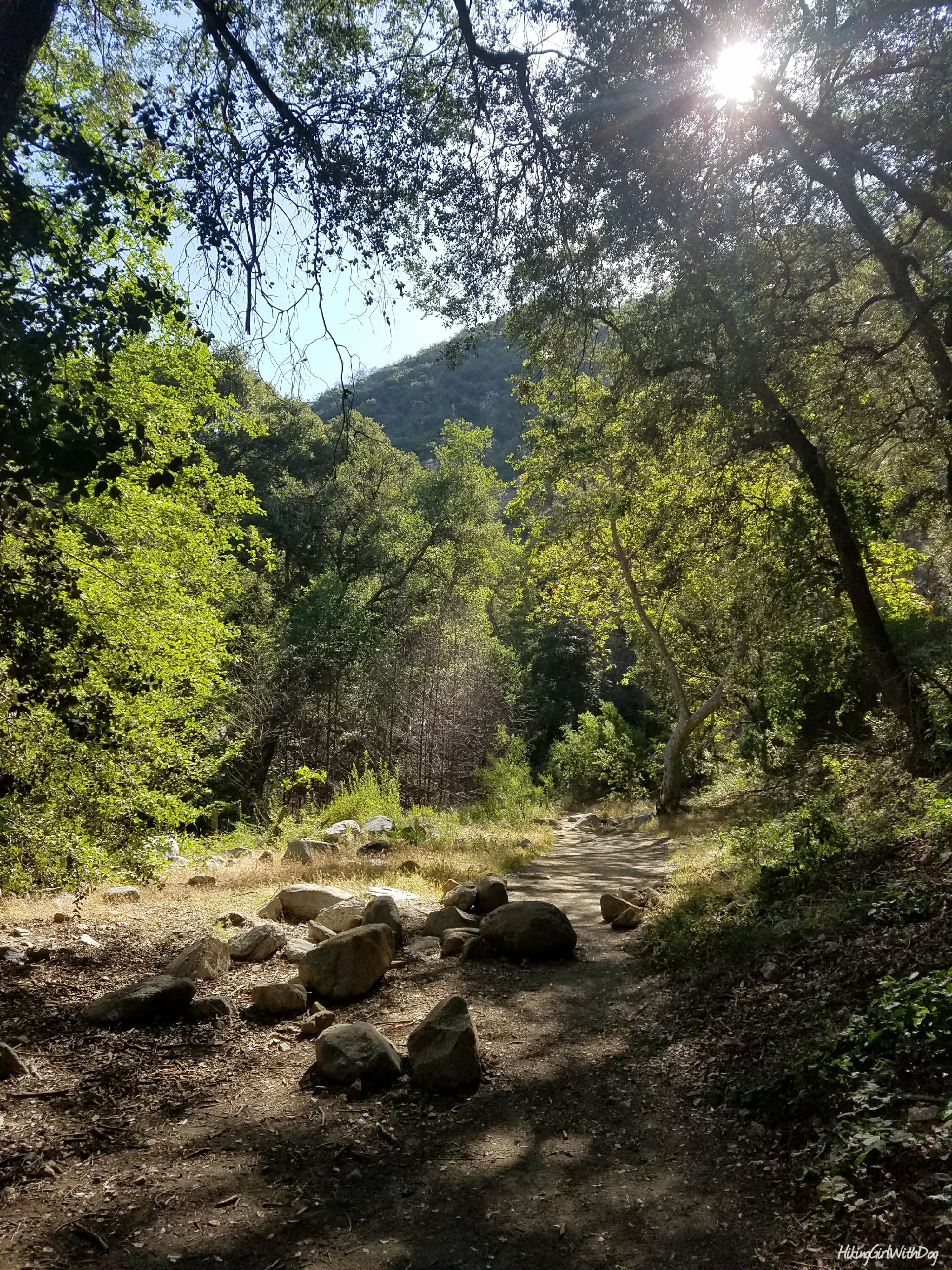
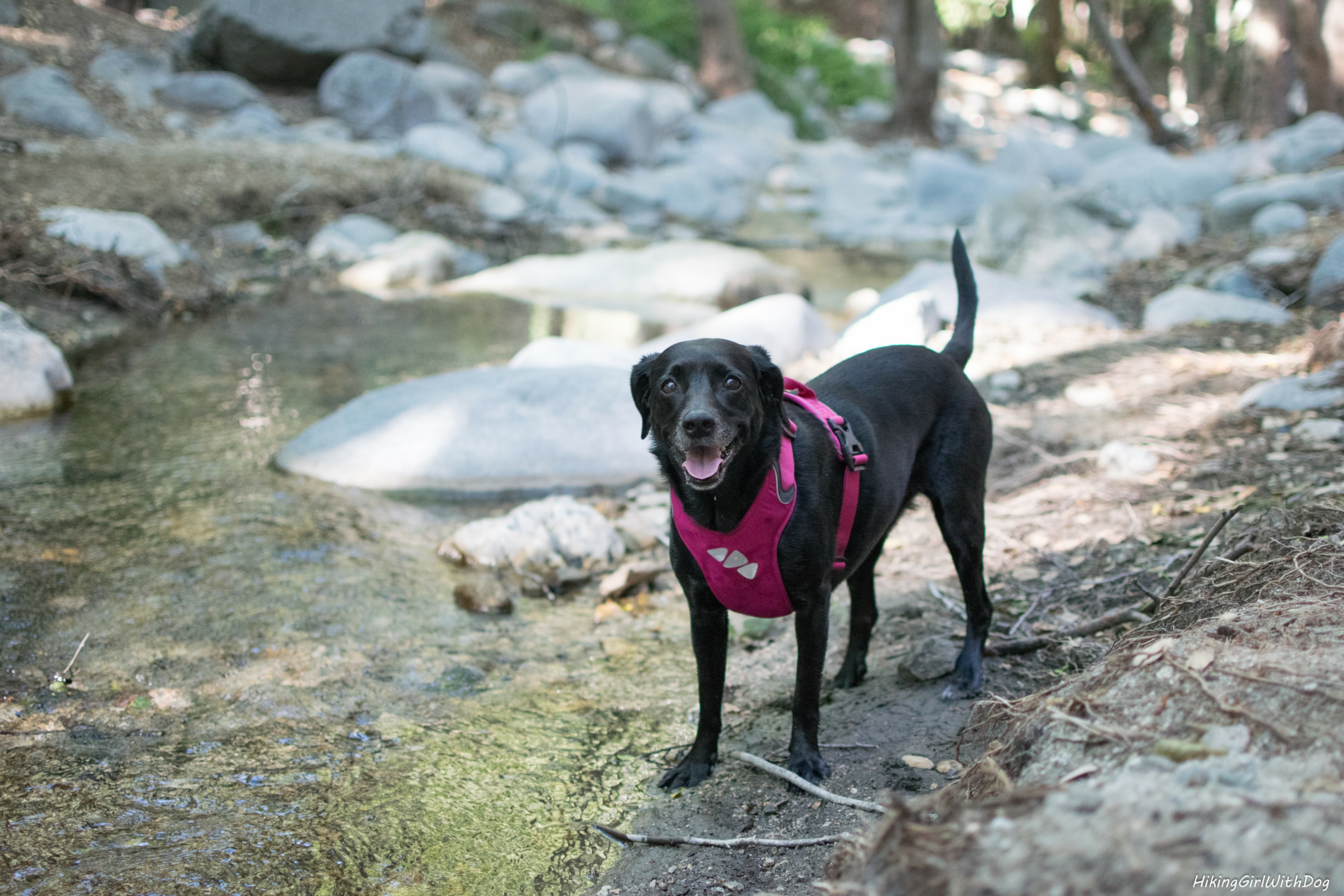
It was nice to see the creek running again. The last time I was there was about 8 years ago or so and I don’t remember the water being there much. Bugs didn’t leave me alone though so I assume there was standing water along the trail. This time I had a pleasant experience.
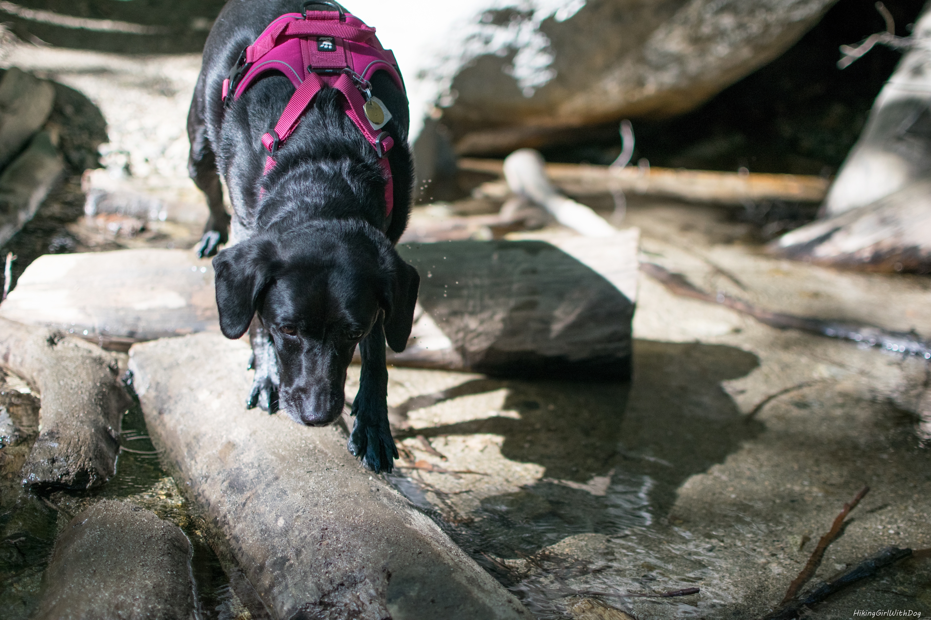
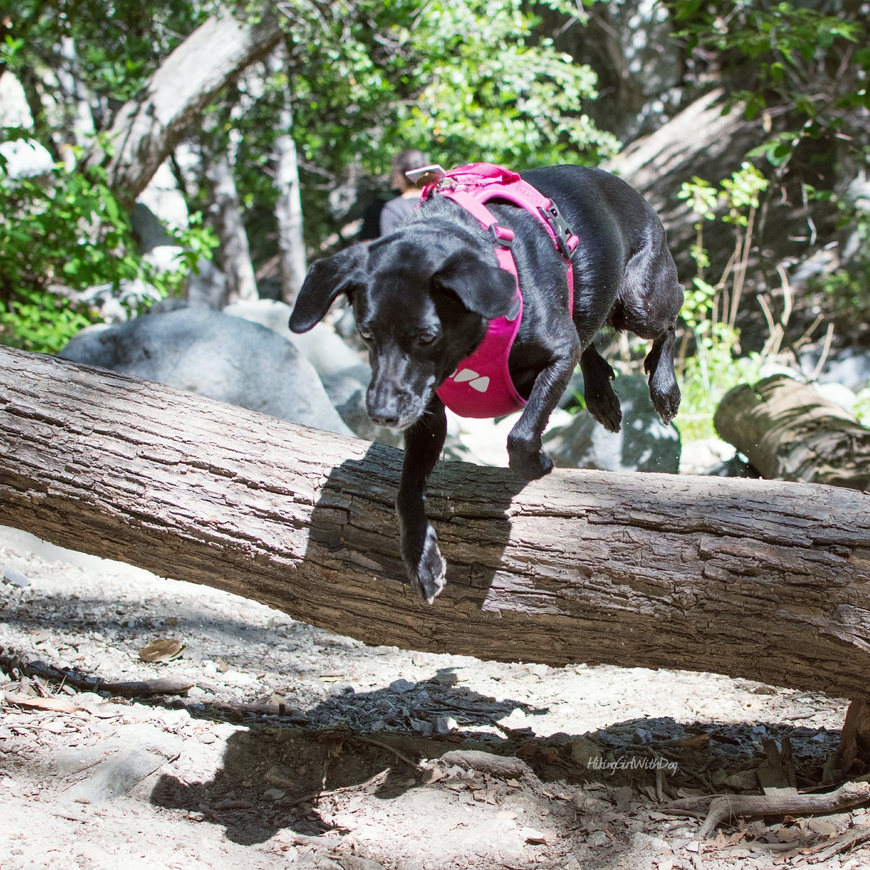
Even though it’s a short trail, it offers a few obstacles to make it fun. Without obstacles, it wouldn’t be an adventure! We did a lot of detours down to the creek to avoid groups of hikers. Click here for a video.
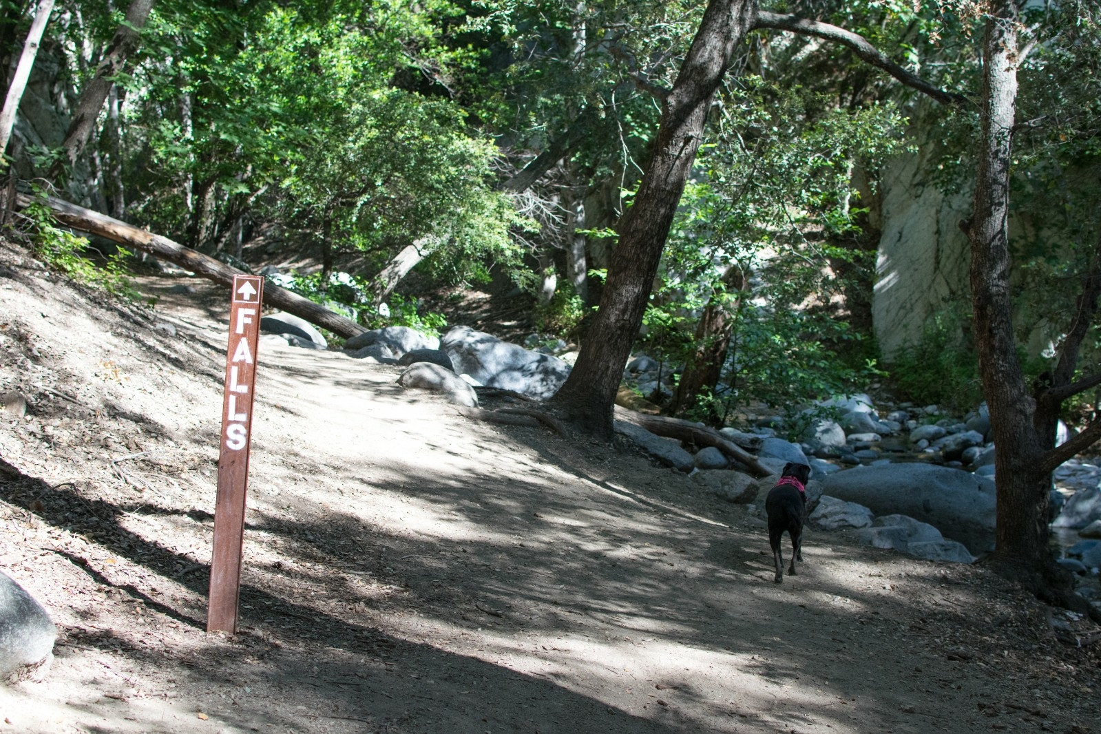
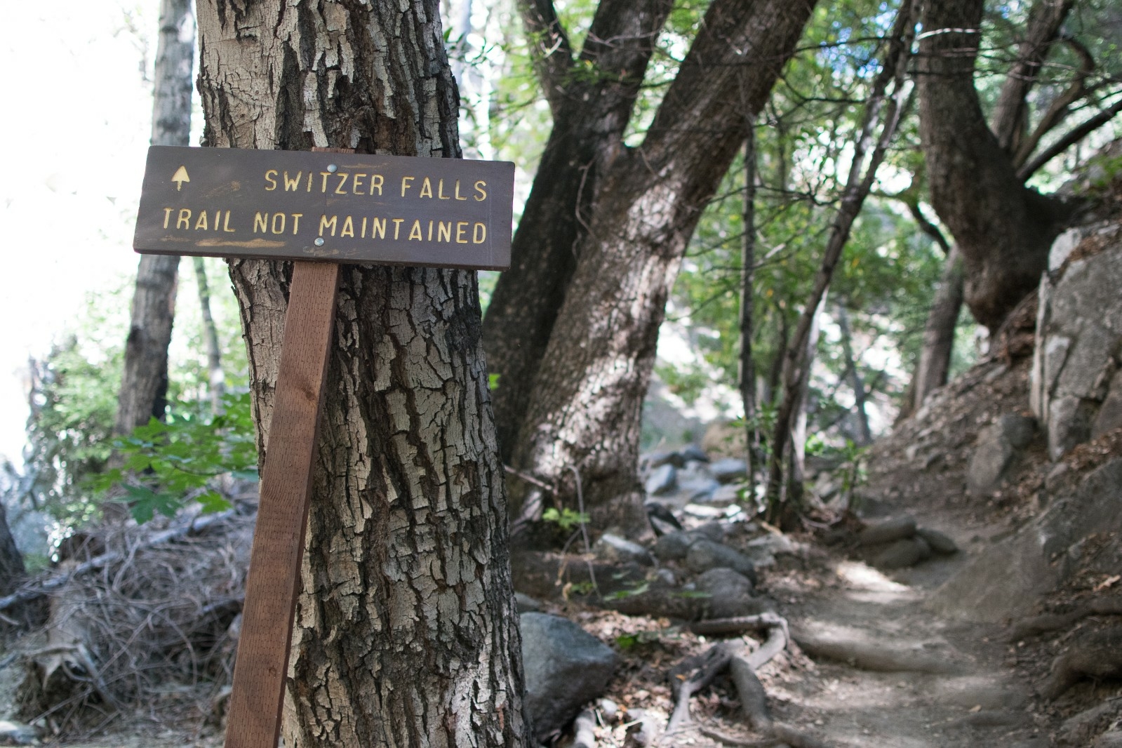
After leaving the comfort of the shaded area, at about a 1.4-mile marker, we came to a split with a confusing Gabrielino Trail Bear Canyon JCT sign. Take the descending trail on the left. The waterfalls are 0.5 miles from that point.
Once you get down to the canyon, there will be signs for the falls. The very last part of the waterfalls isn’t maintained but you will have no problem as long as you are wearing a pair of hiking shoes.
It’s easy to see why this hike is one of the most popular hikes in the San Gabriel Mountains. It’s mostly shaded and crossing a stream is always fun! It’s only 4 miles in total and does not have much elevation gain.
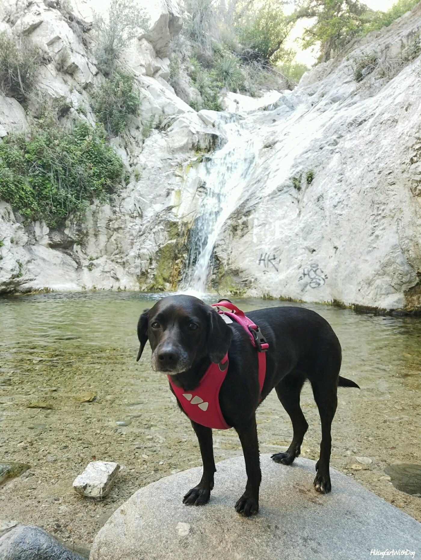
This hike can be enjoyed by the whole family. And at the end, you get to relax while watching the 50-foot tall waterfall.
I like this trail. It’s fun. But it’s too popular for us. Too many people and too much noise. It’s a great place for a group hike.
Good to Know:
- Hike Date: 6.4.17
- Distance: 4 miles
- Elevation Gain: 650 feet
- Difficulty Rating: Moderate
- Trailhead Coordinates: 34.266222, -118.145733
- Permit/Fees: California Adventure Pass is required for parking
- Picnic area near the main parking lot
- You might need a bug repellent


Looks wonderful – maybe on my next visit to CA
Sounds like a plan!
Girl I just came across your blog and it makes me so happy! Lol hiking and dogs are my favorite things!
Well then, you are in the right place! Glad to have you! :)
As always, those pics of Xena make me smile.
But that graffiti makes me so angry.
Glad to hear the pictures make you smile! :) Yes.. not happy with graffiti either!