
Like the rest of the world, we didn’t get to explore much this year between the Covid lockdown and a sequence of wildfires. But amid chaos, we managed to put in a few small hikes here and there this fall. In the next few posts, I will share those hikes with you.
This was a fun little hike. We were on our way back from Missouri. One night we stayed over in Grand Junction, CO. Next morning, I looked up local hikes nearby and decided to do this one before getting on the road again.
This loop hike offers an expansive view of the entire area. With a little elevation gain, this hike is kid-friendly.

At the trailhead, the sign says that you are on the Holey Bucket Loop trail. But actually, only the left side is Holey Bucket Trail. The trail on the right is Clunker Trail. We made the loop counterclockwise by going to the right from this sign. Let’s go see the clunker first.
Once we got there, I realized this was a popular place amongst the local dog hikers. There were more dogs than people on the trail. My kind of place. It’s a big place with many trail options. We mostly saw the dog hikers and their people from far away from another trail.
You don’t need a permit or pay a fee to hike here. Follow the dirt road to the trailhead from Little Park Rd. At the end of the dirt road, there is a parking area for a few cars and a trash can.
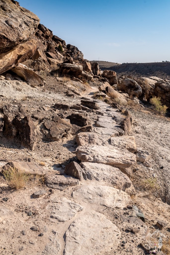
Clunker Trail goes down first. But the entire hike only gains 299 feet, so “going down” means not much here. This trail is popular with both hikers and trail runners.


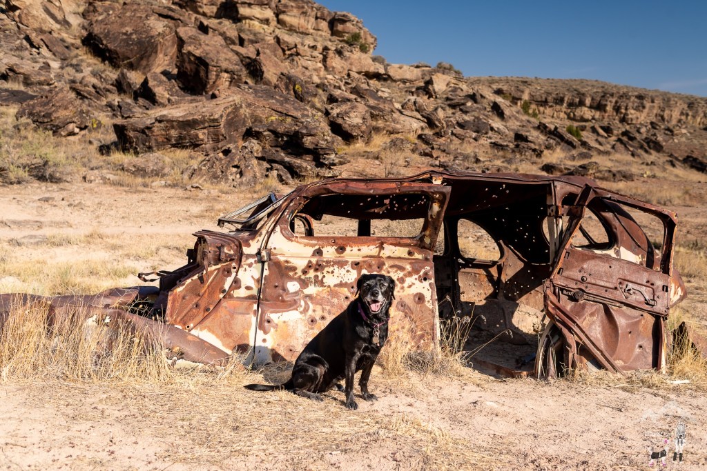
At 0.6 miles, we took a use trail to get to the old beat-up car. It has been used for shooting practice clearly. All the parts were rusty except the chrome. Still shiny.


After checking out the clunker, we got back on the Clunker Trail and eventually met up with the Holy Cross Trail at the 1.4-mile marker. Here, we turned left on Holy Cross toward the trailhead.
Holey Cross Trail offers panoramic views of the entire recreation area.

After 2 miles, we reached Holey Bucket Trail. Stay on this trail to get back to the trailhead. And look for the buckets with lots of holes.


Good to Know:
- Hike Date: 10.8.20
- Distance: 3.4 miles RT
- Elevation Gain: 299 ft.
- Maximum Altitude: 4,848 ft.
- Difficulty Rating: Moderate
- Trailhead Coordinates: 39.04588,-108.58688
- Fee/Permit: None
- Notable: No toilet, exposed, kid-friendly


