
There is a good size turnout at the trailhead for parking. Display your Adventure Pass and begin the hike on the east side of the turnout where the metal PCT trail sign is.
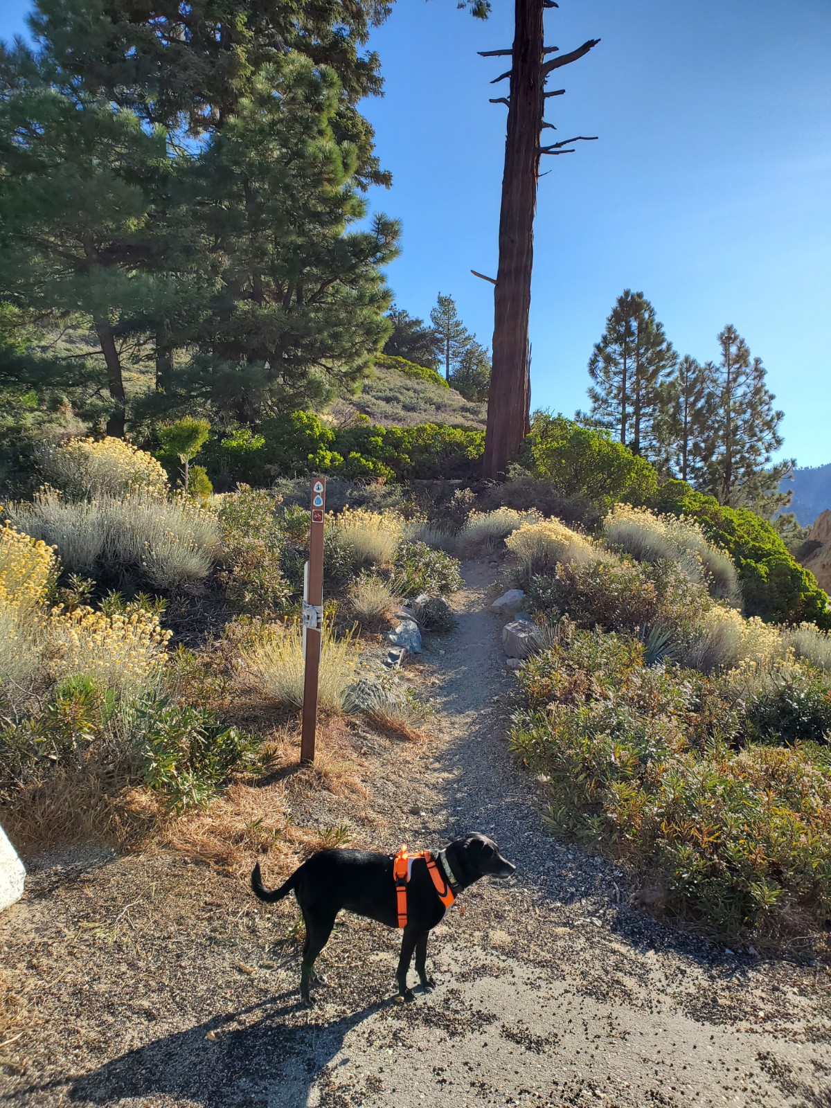
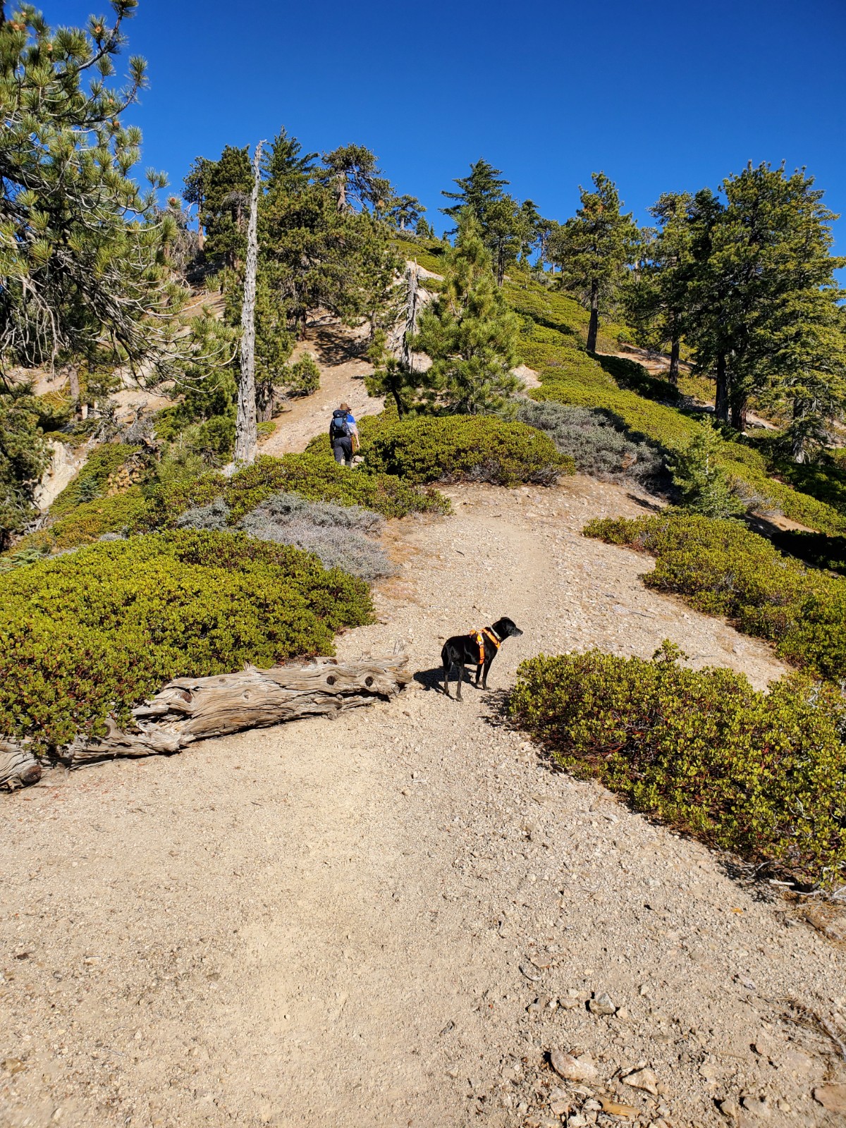
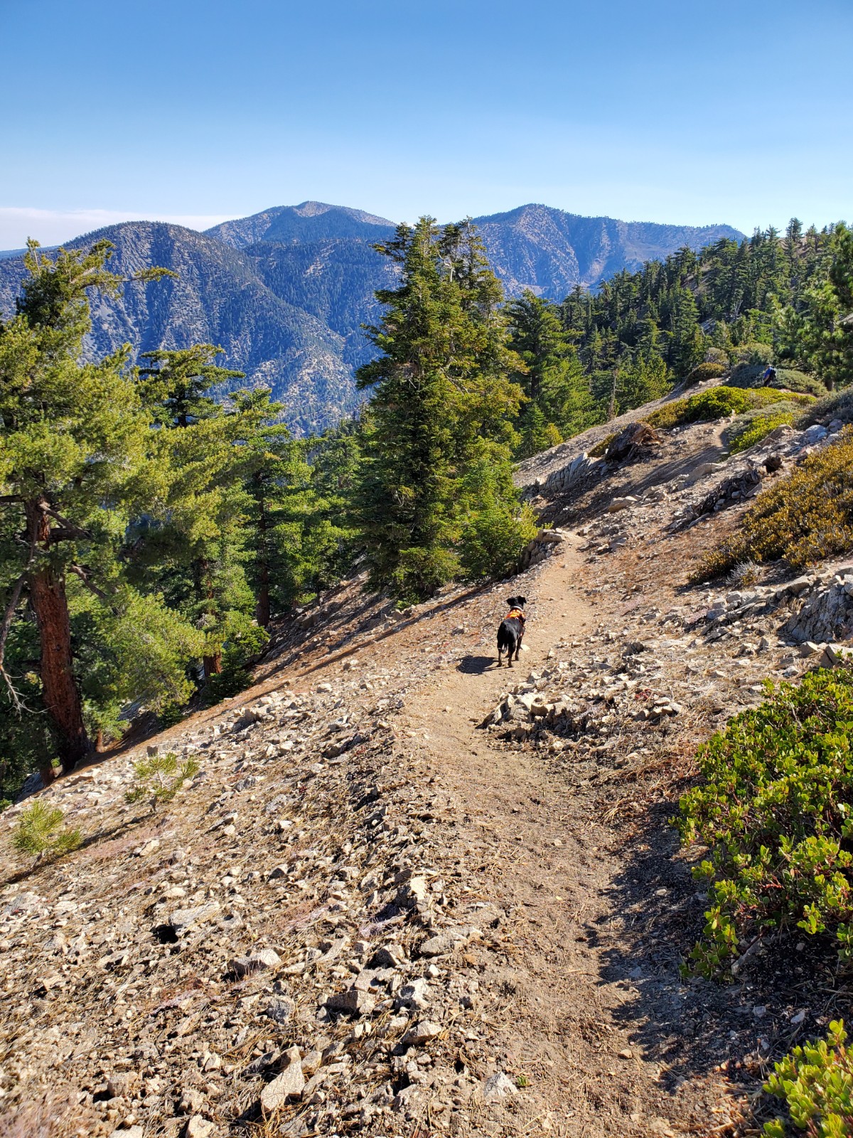
The narrow trail is well-maintained and easy to follow.
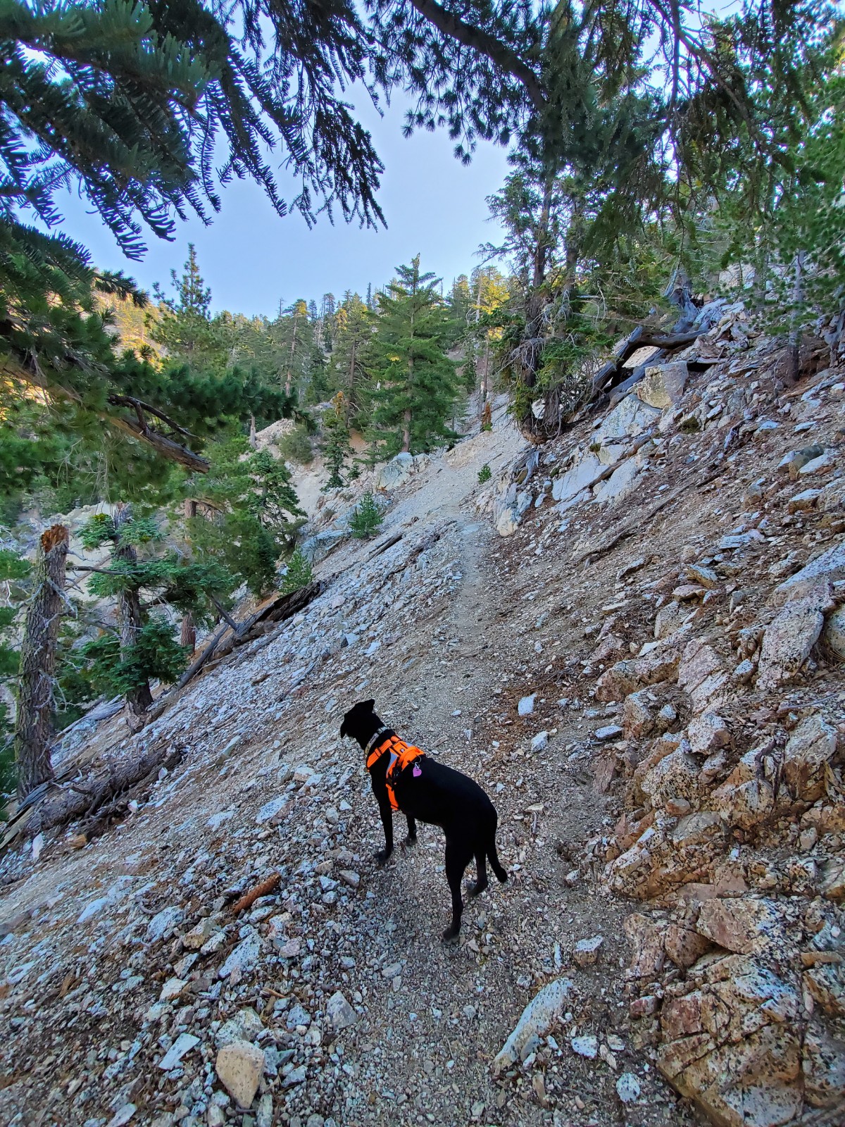
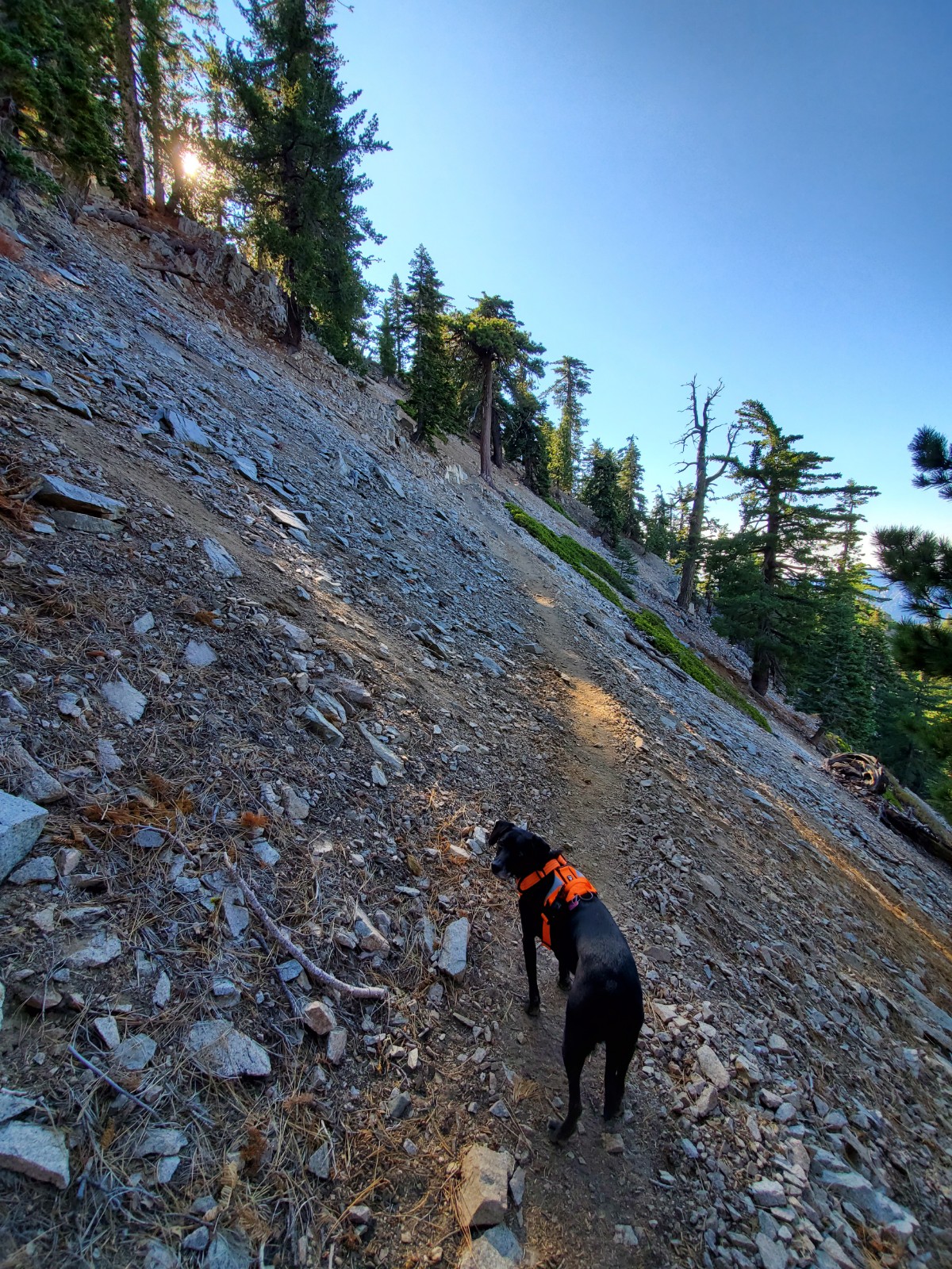
Although the trail isn’t dangerous by itself, the continued steep slope of this hike can be challenging for anyone with a fear of heights.
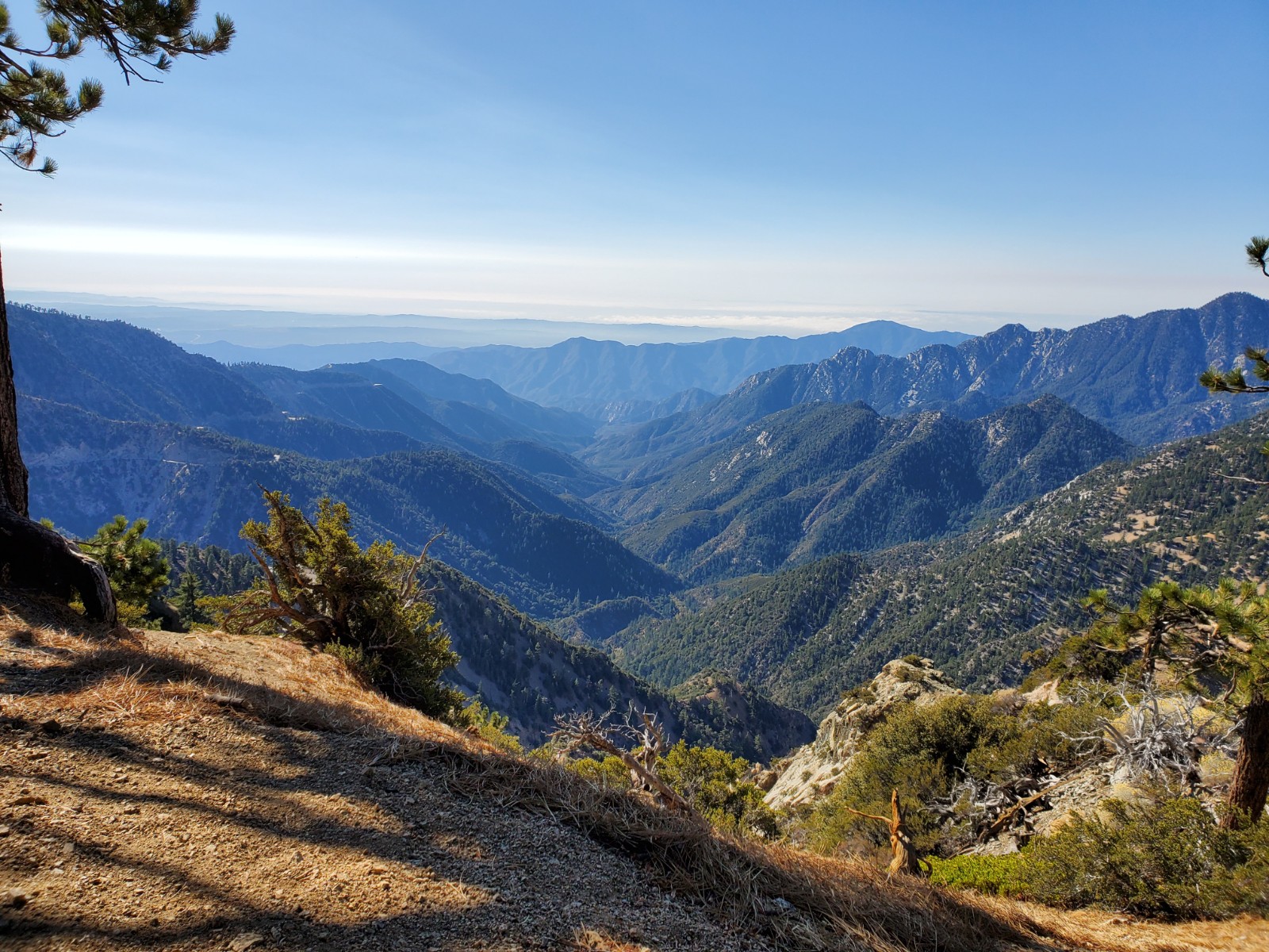
The next trail sign is at the 1.5-mile marker. The view of the San Gabriel Mountains on the south was beautiful.
Here, you will find the Pacific Crest Trail (PCT) splits. Take the PCT that is northbound on your left and begin climbing. The other PCT will take you down to Islip Saddle which is another way to hike to Mt Williamson. That route is a bit longer and less steep.
KEEN Footwear discounts starting at 25% OFF
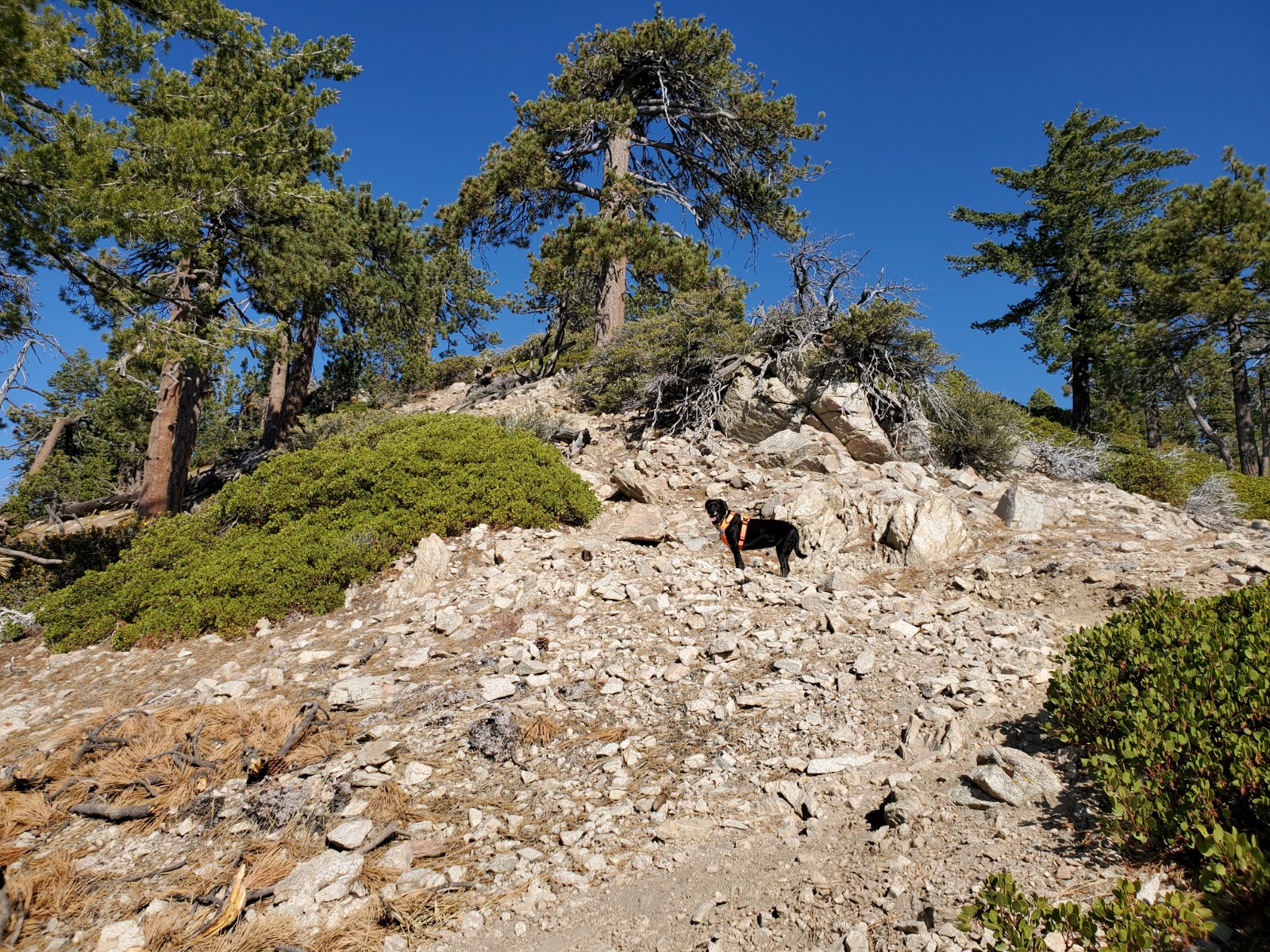
At the 2-mile marker, PCT temporarily ends and Pleasant View Ridge Trail begins. Although there is no sign to indicate this, you will know because you seem to reach the end of the trail with a vast view of the wilderness ahead.
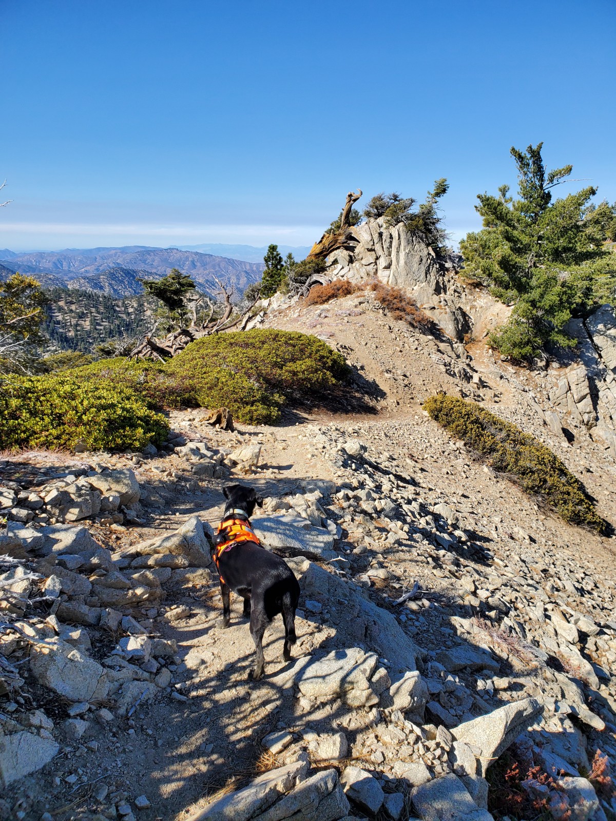
As I mentioned in the blog title, PCT takes you to Mt Williamson. The peak is to your right in a very short distance. The summit register is not at Mt Williamson though. If you don’t care about signing the register, you can just turn around and go back down the way you came up when you are ready.
If you’d like to sign the summit register, take the Pleasant View Ridge trail and head over to the next mountain peak which is only 0.3 miles from there. I don’t think this mountain has a name. If it does, I’ve never seen it.
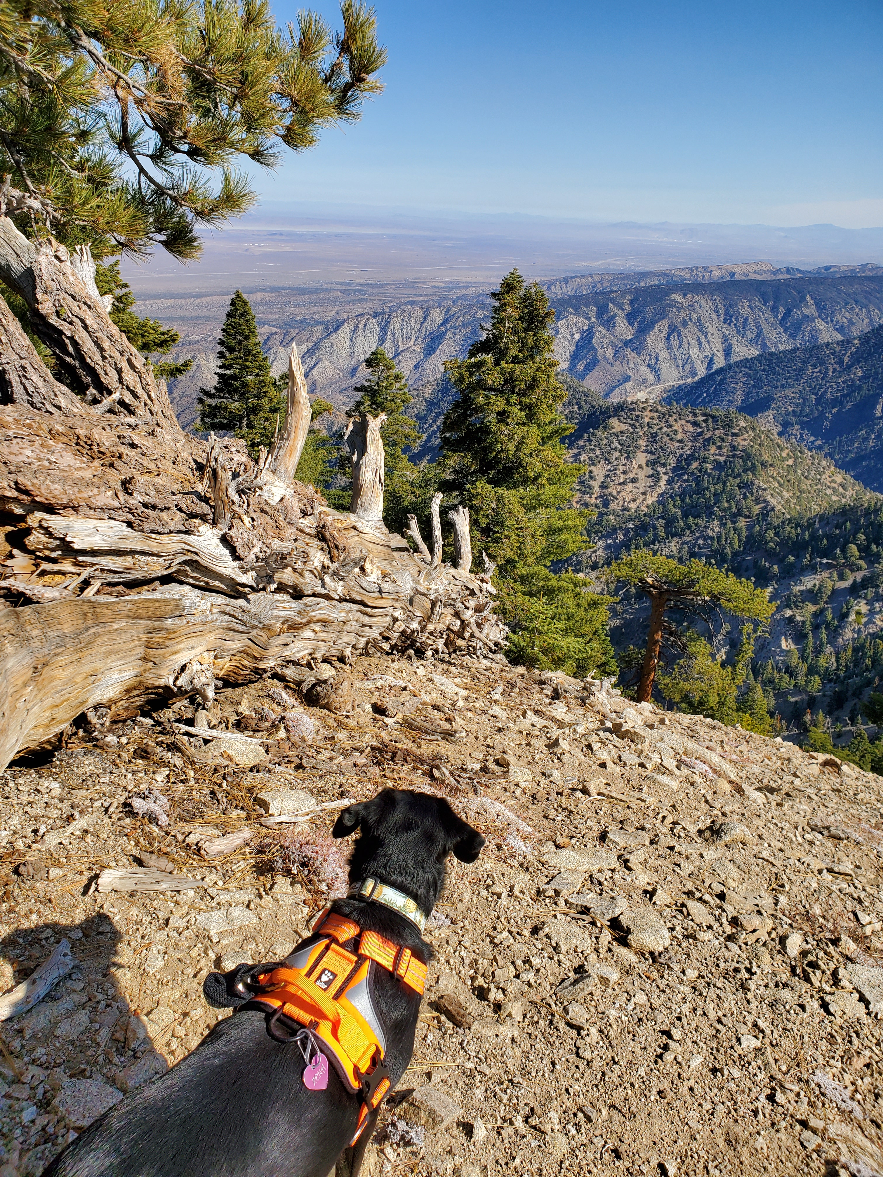
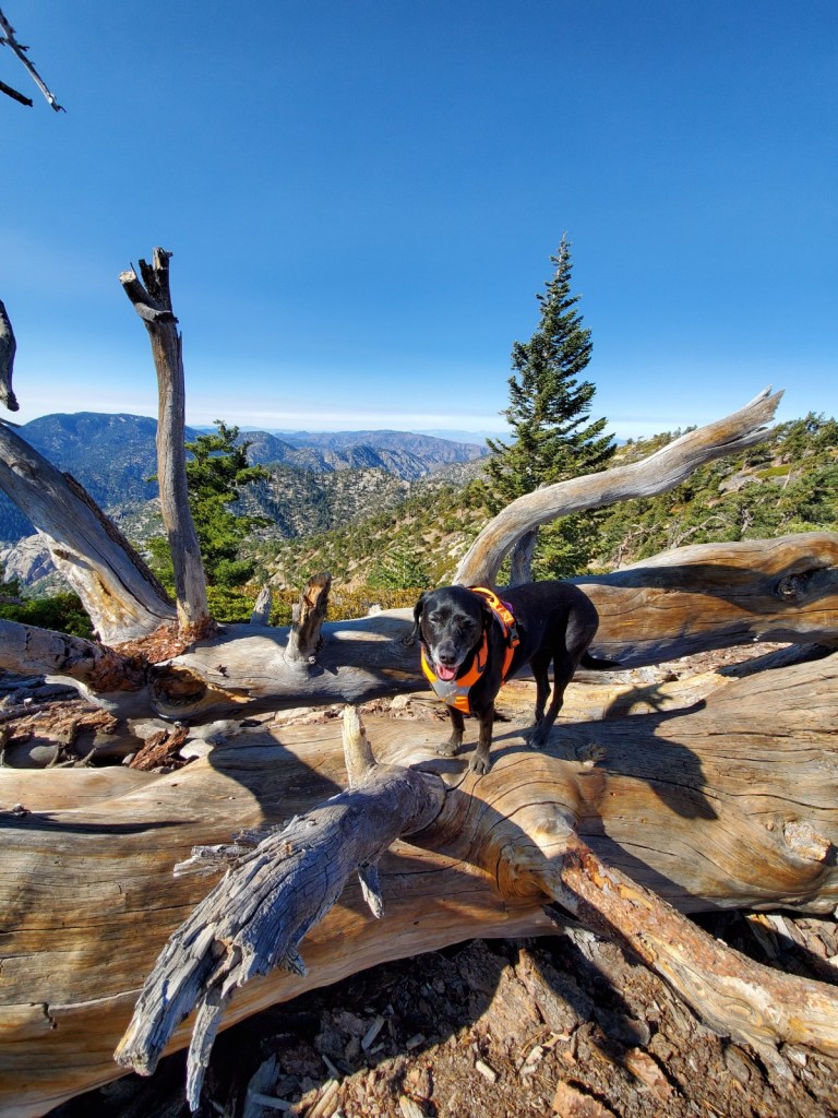
Pleasant View Ridge is rugged and beautiful! Enjoy the view of the San Gabriel Mountains to the south and Pleasant View Ridge Wilderness to the north.
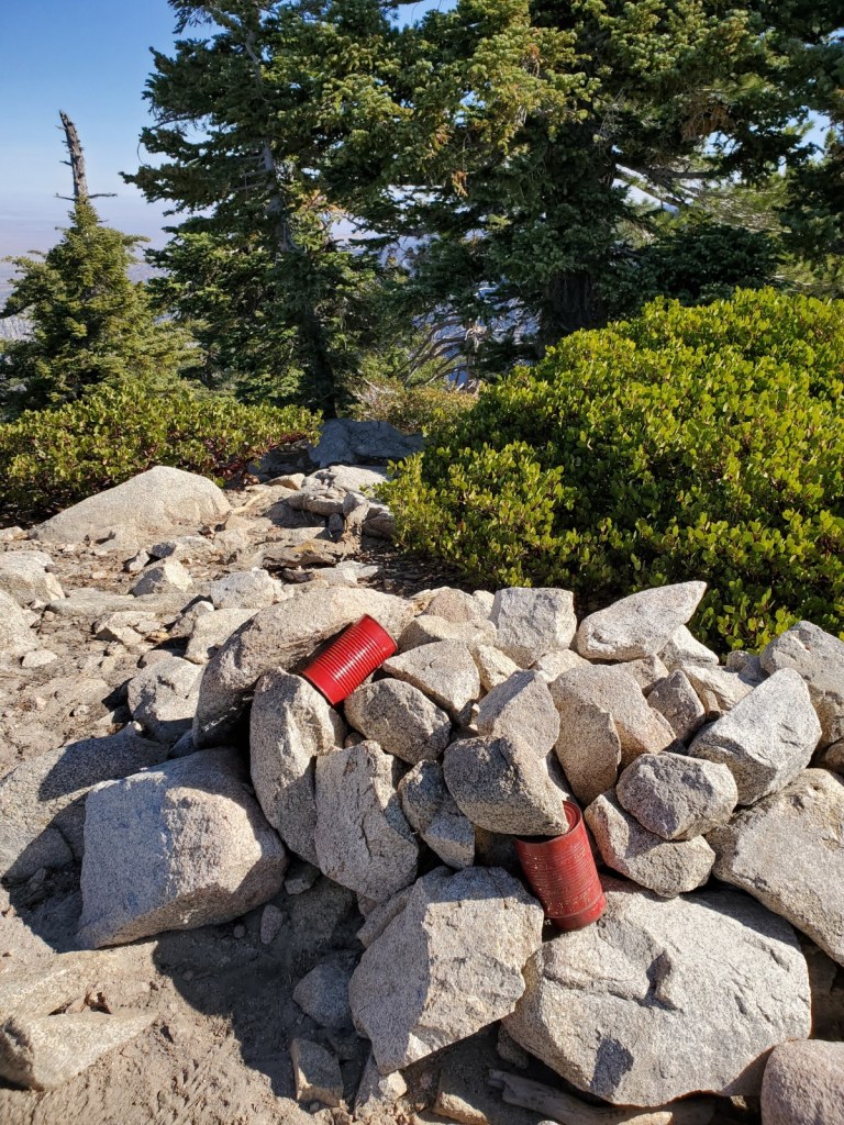
When we reached the peak of the no-name mountain, there were two red cans with a summit register in them.
When you are ready, go back the way you came up. This is an out-and-back trail.
This hike was fun and beautiful. In a short distance, it gains over 1,600 feet and makes you work for the stunning views at the summit. I recommend this hike between late spring and fall unless you are a seasoned hiker.
This is our last hiking guide of the year. Hope you enjoyed it! I have one more post before the end of the year and will be back in 2020 with a new hiking guide from Sedona, AZ!
Good to Know:
- Hike Date: 11.10.2019
- Distance: 4.5 miles RT
- Elevation Gain: 1,631 ft.
- Maximum Altitude: 8,255 ft.
- Difficulty Rating: Difficult
- Trailhead: 34.3619500, -117.8703000 (copy and paste it into your GPS)
- Fee/Permit: Adventure Pass ($5/day; $30/annual)
- Notable: Moderately trafficked, partly shady, rock climbing, backpacking, good for Spring/Summer/Fall, no toilet


Looks like a great hike, Jamie! Beautiful country, nice views and a bright sunny day!
We all enjoyed this hike on that sunny day! Although it’s lightly trafficked, the trail was well-maintained and it was super fun. Not to mention the stunning views from the summit! Merry Christmas to you and yours, Mike!