
Park directly across from the Clear Creek Information Center. The trailhead is off Angeles Forest Hwy, a short walk from the parking lot. A gated fire road will appear on your right. The trail starts behind that gate. There are no signs after the trailhead but the trail is well-maintained and you won’t have a problem getting to the peak as long as you stay on the fire road. The city below was covered with rain clouds which looked like about to open up but when we arrived at the trail, we had blue sky and sunshine. Although it’s never too steep, you will break a sweat to get to the peak.
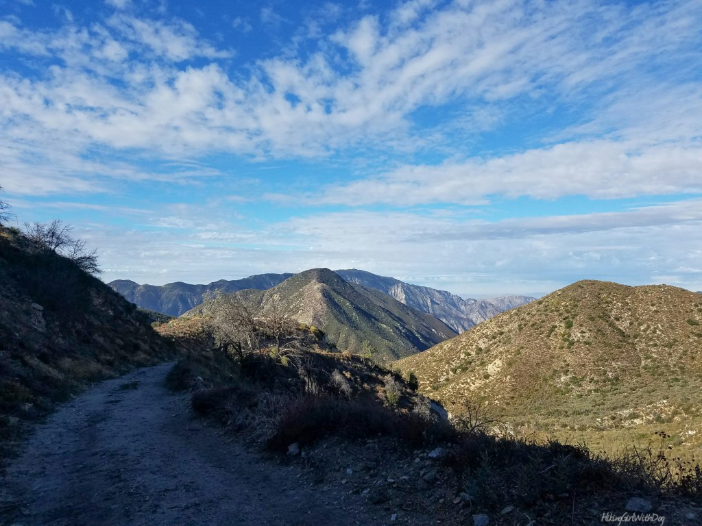
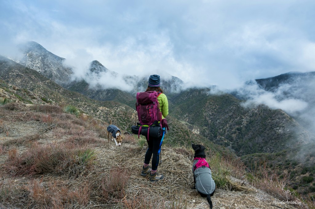
Soon I felt the tranquility you only get to feel in nature. I was enchanted by the views of nearby peaks and the layers of the San Gabriel Mountains. Unlike other nearby peaks in the front range like San Gabriel Peak, Mt Lowe, and Mt Disappointment, there were no towers and antennas to make you feel like you never left the city. Ok, not until at the peak but even then, it’s not bad.
Capture your dog’s adventurous spirit with Outdoor Dog Photography!
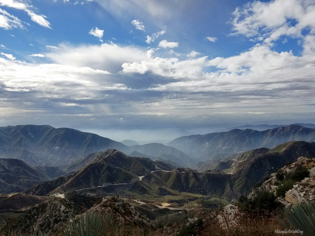
The prominent peak located on the northeast of Josephine Peak is Strawberry Peak at 6,165 ft. It did not leave our sight throughout the trek.

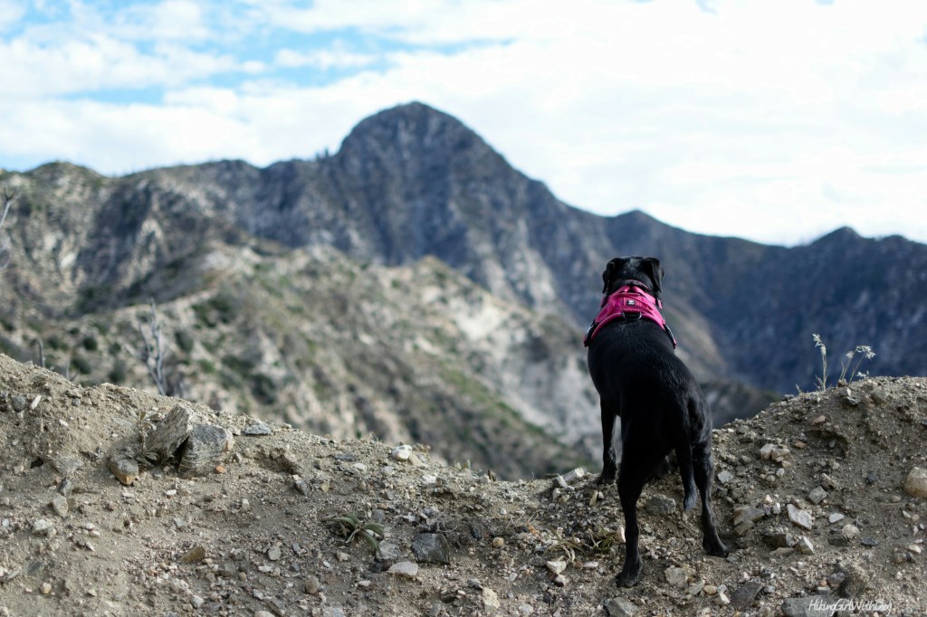
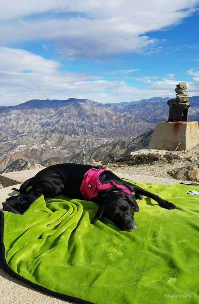
At the summit


I know many hikers are down on fire roads. But I think this is one of LA’s best kept secret trail and I hope that people are continued to be uninterested to go here so I can have it all to ourselves. :) We like it so much that we went back with our friends Kristine and her pup Trooper on Xena’s birthday. It was foggy and cold but we had a blast!


As about 2/3 of the trail faces south, snow melts fast and the trail is usually snow-free. And the north facing part of the trail near the top didn’t have enough snow to use microspikes. But since the condition could quickly change in the mountains, I recommend you have microspikes with you when you hike during winter and definitely have layers of moisture-wicking clothes. Based on my experience, it gets windy and cold at the peak. Hot soy latte tasted especially good at the peak. ;-)
To get back to the trailhead, go down the way you came up. As always, please leave no trace.
Good to Know:
- Hike Date: 11.20.16 & 1.2.17
- Distance: 8.4 miles RT
- Elevation Gain: 1,833 ft
- Josephine Peak Elevation: 5,558 ft
- Difficulty Level: Moderate
- Trailhead: 34.271097, -118.153699
- Permit/Fee: Adventure Pass required for parking
- No shade. Great for Spring, Fall, and Winter
- Toilet available at Clear Creek Information Center


Love it! Favorite shot is the one of your dog resting on the green blanket at the peak… Great post! thanks for sharing.
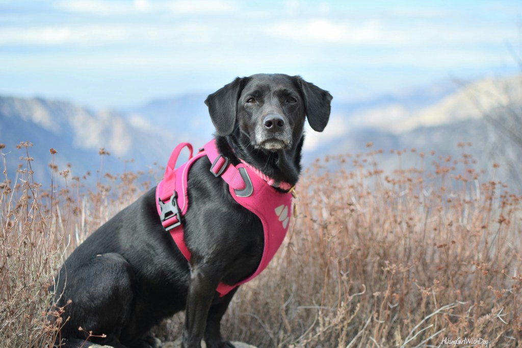
Thank you for reading! That’s my dog, Xena. The other dog is her friend. 😊
8 miles and an 1,800′ gain… you should break a sweat. If you don’t break a sweat, it ain’t worth doin! And that’s from a mid-west flatlander!! Nice pics ;-)
Thank you Mike! I agree! 😊