There are two locations where you can start this hike. One is from the trailhead near the Red Box Picnic Area (Bill Riley Trailhead) and the other is from Eaton Saddle. Well, I thought I started from the Bill Riley Trailhead because that’s what I planned on doing when I left the house that morning. So you can imagine my surprise when I found myself in a different location on the map when I checked the GPS in the middle of my trek. What?! Haha! In hindsight, I am glad it happened.
I raced against a group of mountain bikers in the parking lot to get ready. I guessed there were about 30 of them. I didn’t want to get stuck in the middle of the group. Haha.
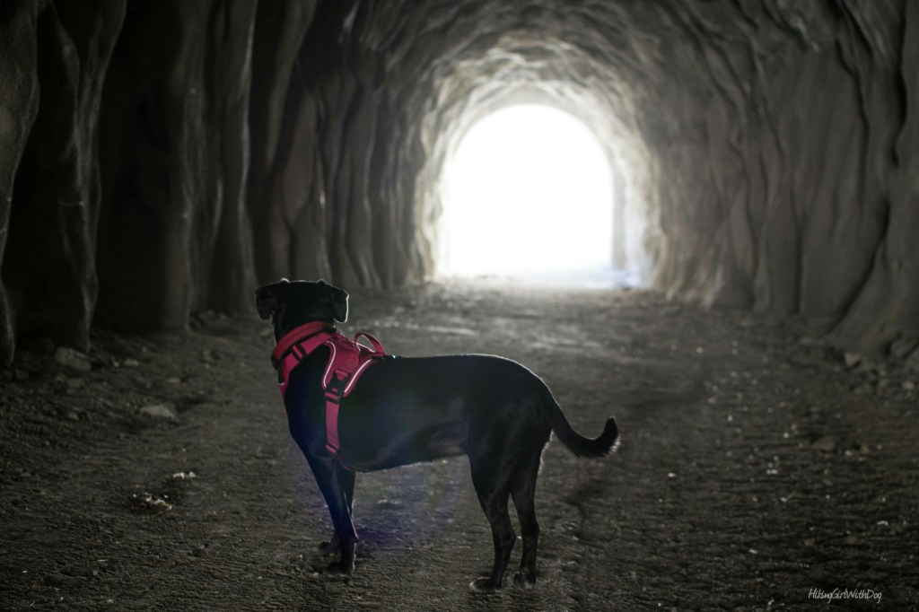
The hike began on the fire road. It was a clear sunny day so I was able to see the nearby cities (Altadena and Sierra Madre) to the south. The first part of Mt Lowe Rd is a rocky uphill. At the 0.31-mile marker, we arrived at Mueller Tunnel.

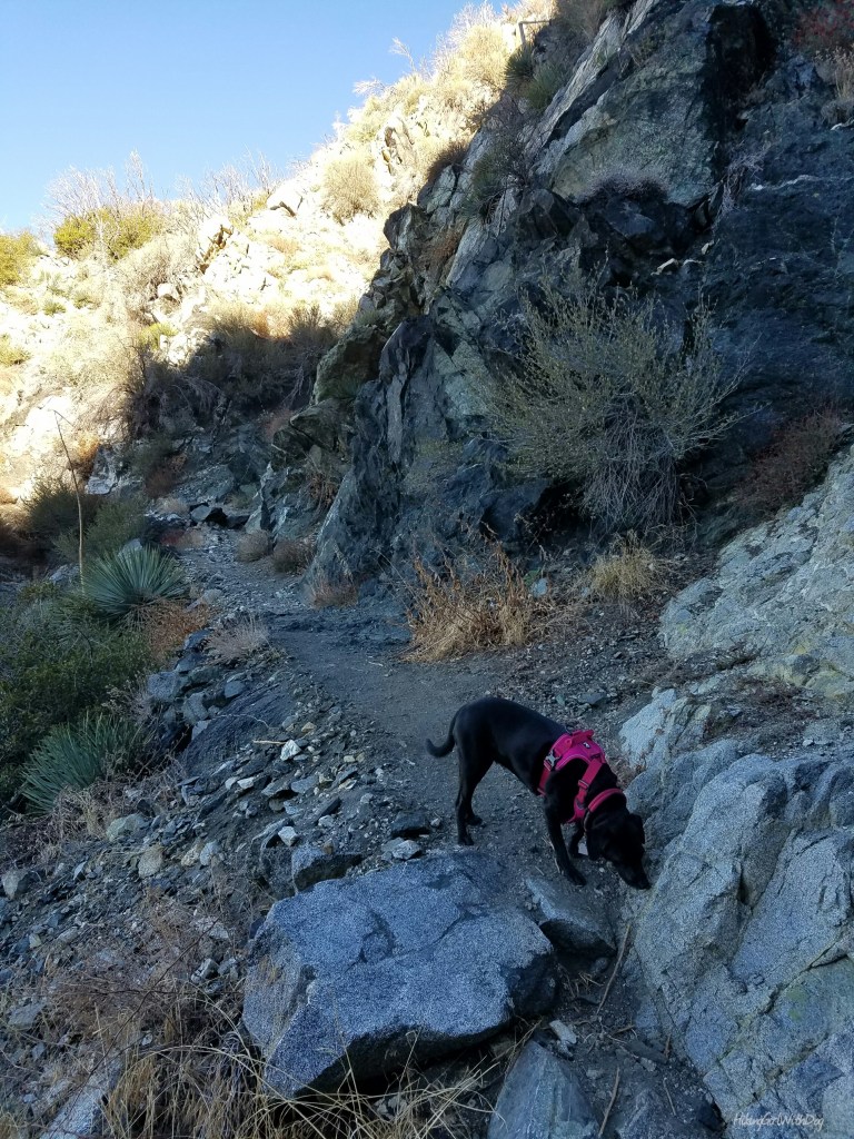
The rocky fire road continued at the end of the tunnel. At the 0.78 mile marker, you will come to a junction. Take the San Gabriel Peak trail on your right next to the water tank.
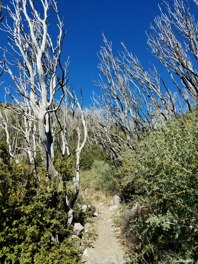
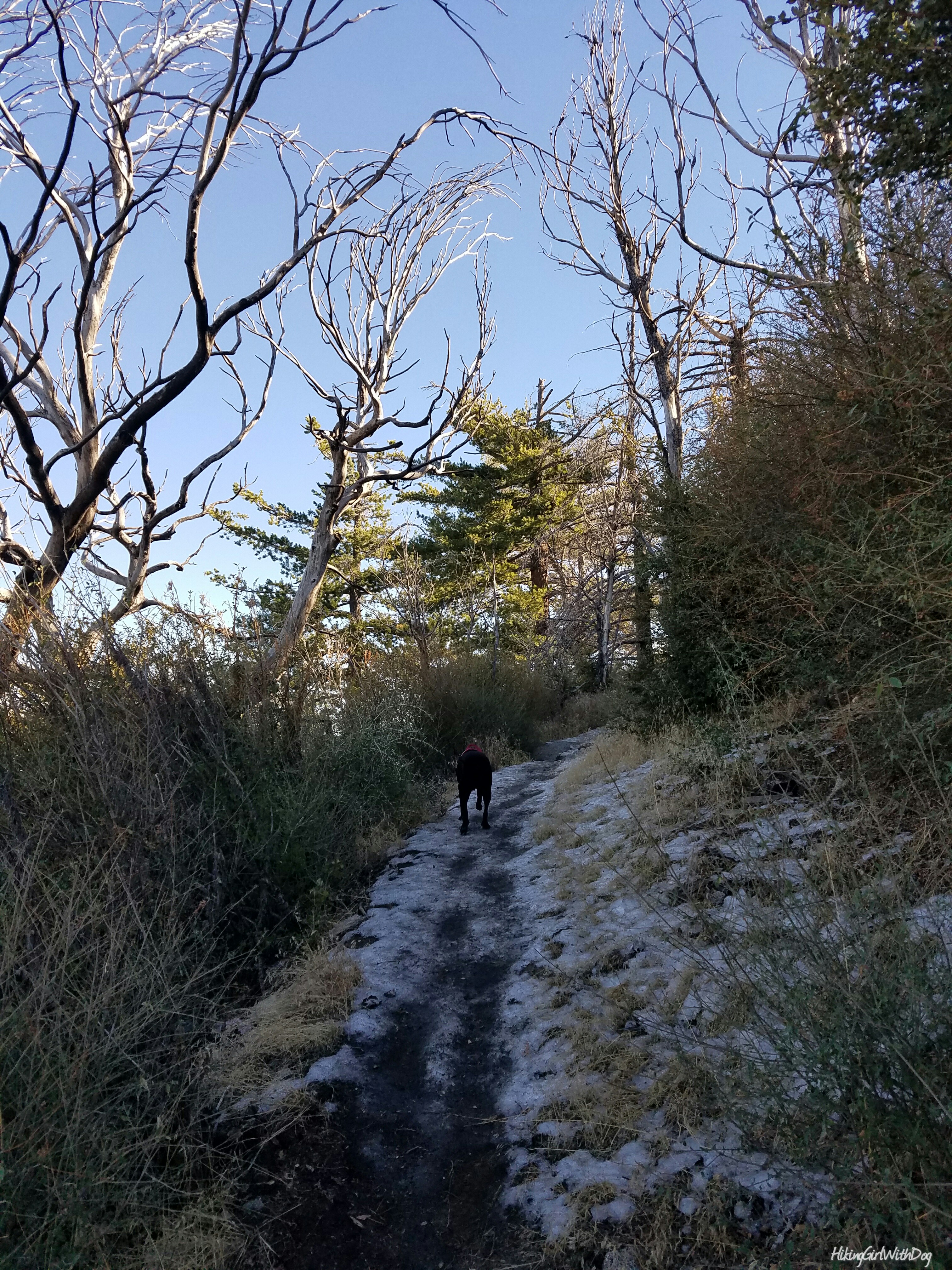
San Gabriel Peak trail is exposed all the way to the peak but early in the morning, some parts were shaded. A little bit of scrambling is required at certain sections and some parts of the trail were very narrow but it’s doable. Just watch your step.
When we got close to the top, the north-facing side of the trail was icy.
The short hill from the bottom of the peak to the top (maybe 0.1 miles) was covered with thick ice. Many people were turning around when we got there. It was too slippery to climb at that point without spikes.
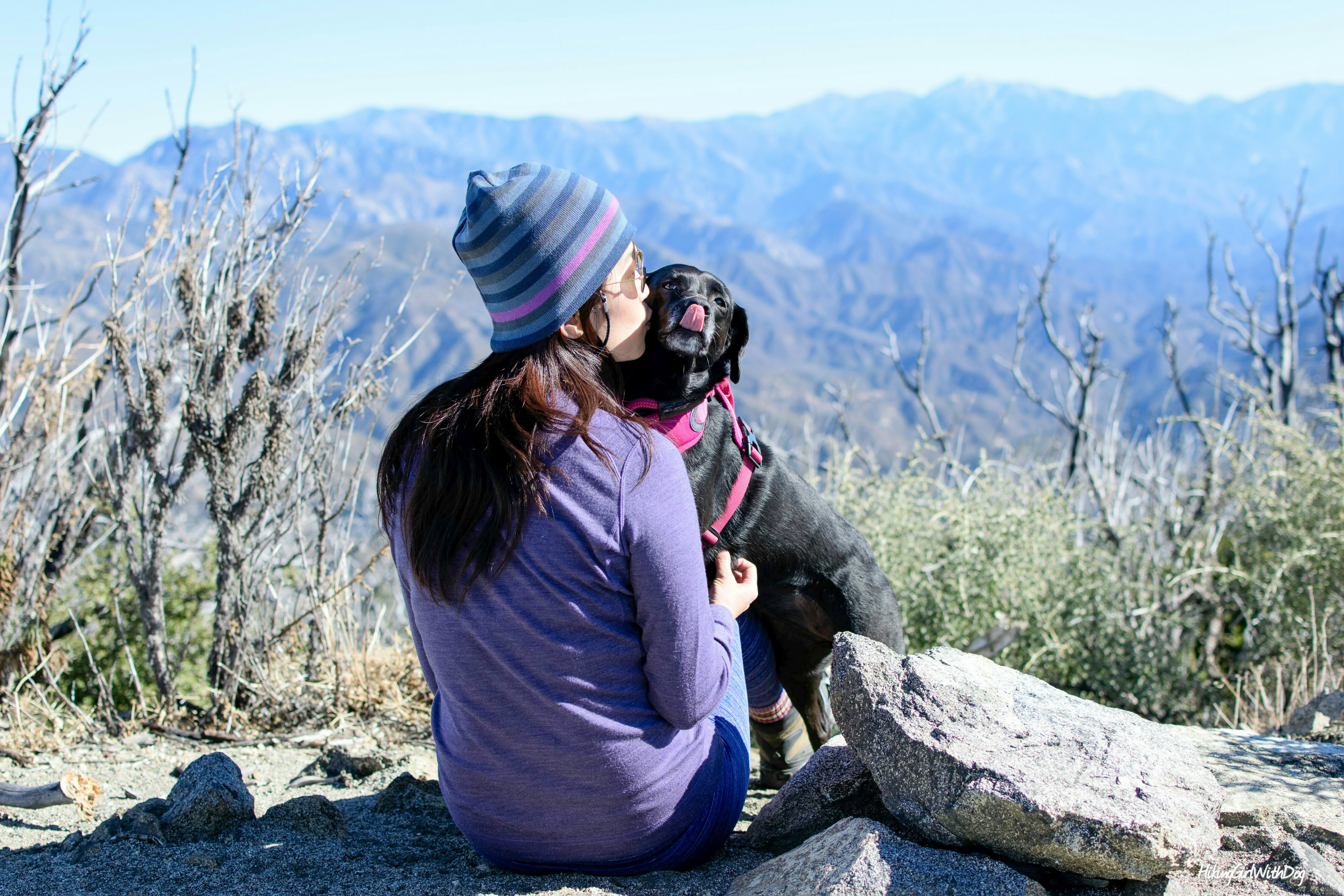
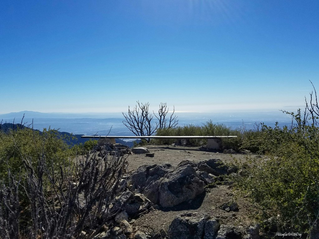
I brought mine with me just in case but never tried them. Woohoo! I get to put my microspikes to the test. They better work! I put them on over my boots with a bit of effort (at least I knew they wouldn’t come off while walking) but overall it was quick and easy. I took my first step on the ice, the same spot I slid earlier without the spikes. OMG. I instantly fell in love with my spikes! Haha! I quickly learned to dig into the ice when I walk so the spikes can have a better grip on the surface. Going up to the peak was a piece of cake after that. Since most people turned around at the bottom of the peak, we found the summit empty which I enjoyed very much.
When you are ready, go back the way you came up. It’s an out-and-back trail.
Good to Know:
- Hike date: 12.4.16
- Distance (RT): 3.3 miles
- Elevation gain: 1,017 ft
- Difficulty rating: Challenging
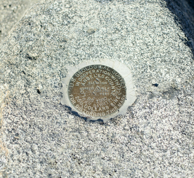
- San Gabriel Peak: 6,161 ft
- Trailhead: 34.239379, -118.093359
- Adventure Pass required for parking
- Toilet available at Red Box Picnic Area