There are two trailheads off Glendora Ridge Road for this hike. This hike begins from the second trailhead (“Sunset Peak Trailhead #2” in Google Map).
We started around 10:15 AM which is much later than our usual start time. I miscalculated how much cooler it would be up there with higher elevation (starts at 4,361 ft.) and all. We had a heatwave in the LA area that week and the temperature was already in the mid-60s at the trailhead.
After about 0.9 miles of hiking, we ran into gnats that wouldn’t leave me alone for the next 3/4 mile or so. It was beautiful, though.
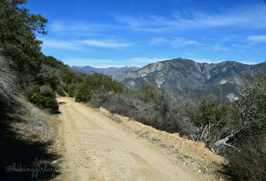
As we gained more elevation, the terrain started to change rockier and the gnats disappeared. Free at last!!

Tall pine trees started to appear

and we were spared from the sun’s heat at times.

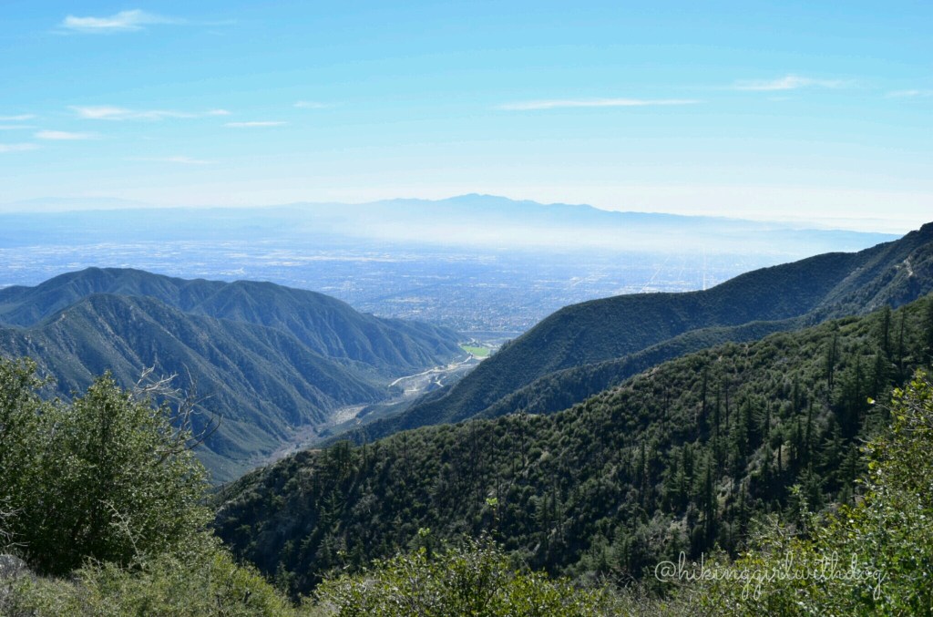
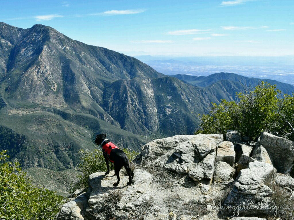
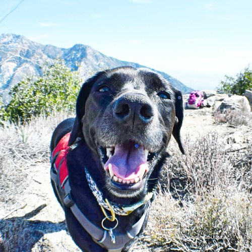
After 2.16 miles, you will come to two trails. Take the trail on your right. The one on the left is the trail from Cow Canyon Saddle. Steady uphill continued and we had fabulous views of San Gabriel mountains! I couldn’t get close to the edge like Xena so she modeled for me.

Yep, we were up high.

The Clymb: Save Up to 70% on Industry Leading Outdoor Brands! Shop Now
After a close call with a rattlesnake this time last year, I’ve been super careful with scoping out the place before we settle for a break. Near the peak, I found us a nice secluded area off the main trail and did my careful checkout of the area. Now, it was time to relax and enjoy earned views.

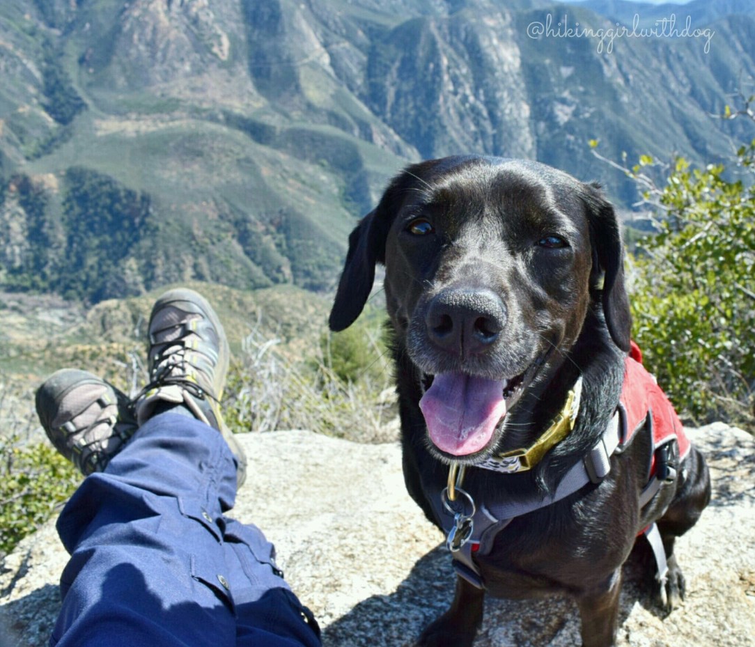
After the break, we both felt rejuvenated so I thought maybe I should try a selfie. After 4 attempts, I got a decent photo of us. Xena’s too cool to look at the camera but I smiled for both of us so it’s OK. (I think I see a snot hanging off her right nostril. Hahaha!) Here is to our trail adventure on Valentine’s Day! ♡


Good to Know:
- Hike Date: 2.14.16
- Distance: 8 miles RT
- Elevation Gain: 1,469 ft.
- Trailhead Coordinates: 34.219018, -117.712337
- Difficulty Rating: Moderate
- No restroom
Get Our Latest Comprehensive Dog-friendly Trail List Here. Enjoy!
Happy Hiking!

The Clymb: Save Up to 70% on Industry Leading Outdoor Brands! Shop Now


Wow, the views of the San Gabriel mountains are gorgeous! I wouldn’t be going near the edge either. I’m so glad you didn’t have a repeat encounter with a rattlesnake! You have a very cute and happy dog pal (even with a bit of snot dribble…haha). Beautiful shots. :)
Thanks, Jane! Snot dribble is too funny, right?? Haha. It even makes me cringe when she gets close to the edge. I see this horrible scene unfold in my head. I had to call her back when it made me feel very uneasy. I thought, “oh gosh, now I am going to give her fear of heights.” I tried hard to not call her back every time. I realized restraining myself from stopping her was an important part of the exercise I needed to do to keep my fear under control. Even though it’s hard, I like that I get to work on my phobia with her.
Your pup has the best smile :)
Awww thanks, Jenn!! She does! and it’s contagious. :)
Thanks for the link, David!