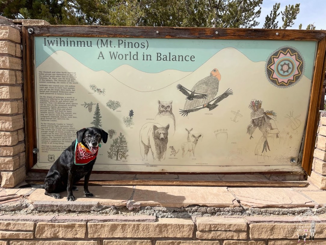
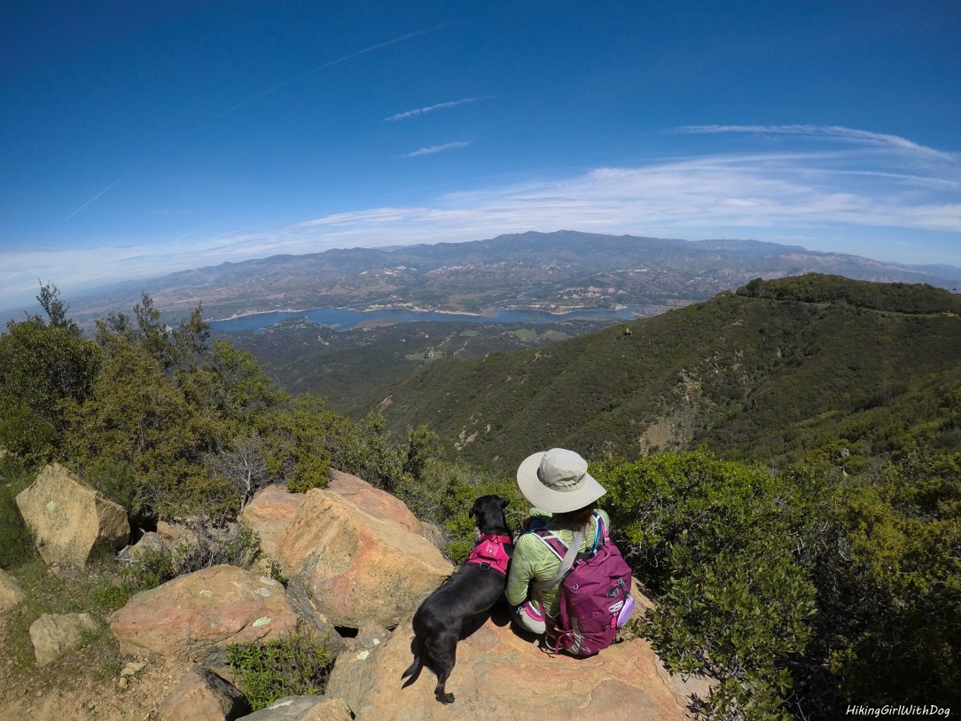
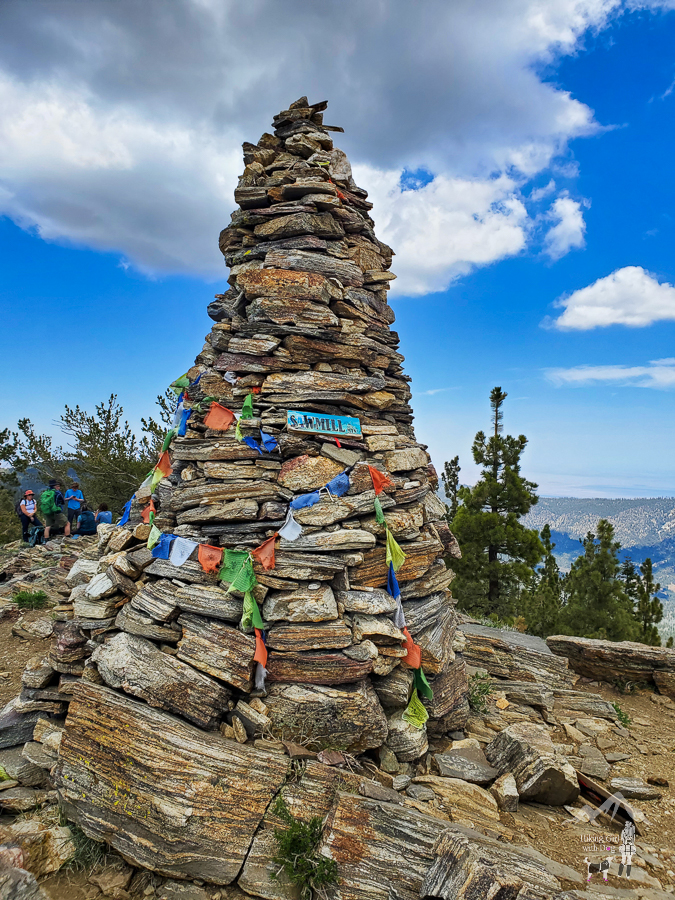
Mt Pinos is located in the Los Padres National Forest on the boundary between Ventura and Kern counties. At 8,847 feet, Mt Pinos is the highest point in Ventura County. This hike is near Frasier Park (74 miles northwest of Los Angeles). The drive to Mt Pinos from LA was pretty easy and nice. It
Category: Los Padres National Forest
This popular hike is near Santa Paula, CA. It begins from the Santa Paula Canyon Trailhead, and half the hike is in Los Padres National Forest. National Forest Boundary Line starts 1.5 miles from the trailhead. You don’t need a permit to park or hike to Santa Paula Punch Bowls. The parking lot at the trailhead
Last spring, my sister and I drove up to one of our favorite places. Santa Barbara. When we take a trip together, wine tasting and hiking are almost always on our list and this weekend wasn’t any different. 🙂 Dog-friendly Hotel: We checked in to Santa Ynez Valley Marriot in Buellton. They had a small
May your trails be crooked, winding, lonesome, dangerous, leading to the most amazing view. May your mountains rise into and above the clouds. — Edward Abbey The Trailhead is located on E Mountain Drive in Santa Barbara. There is a wood sign at the trail. With canopies of trees and a gradual incline, the trail
This is a sequel to my previous entry We Love You, Santa Barbara. When I went to bed the night before, I planned to hit the trails early that morning. But when I woke up, it was overcast and it even drizzled a little on and off. So instead, I got myself a soy latte from