
Mt Pinos is located in the Los Padres National Forest on the boundary between Ventura and Kern counties. At 8,847 feet, Mt Pinos is the highest point in Ventura County.
This hike is near Frasier Park (74 miles northwest of Los Angeles).
The drive to Mt Pinos from LA was pretty easy and nice. It makes a great day trip. There is a huge parking lot at the trailhead.

Please note, during this time of the year, there may be snow on the way to Mt Pinos trailhead. If so, either tire chains may be required, or the road may be closed. Please check the road status before you go.
There is no entrance fee, but you need an Adventure Pass to park in the Los Padres National Forest if you are hiking. After parking, hang the pass over your rearview mirror and follow this sign to Mt Pinos Summit.

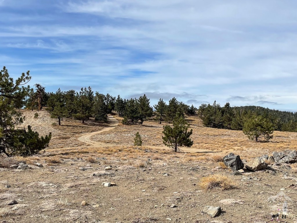
Most of the hike is on Forest Rte 9N24, which is wide and has no narrow section, so it’s good for beginners and a group. Since it has only a moderate elevation gain, it’s also kid-friendly.
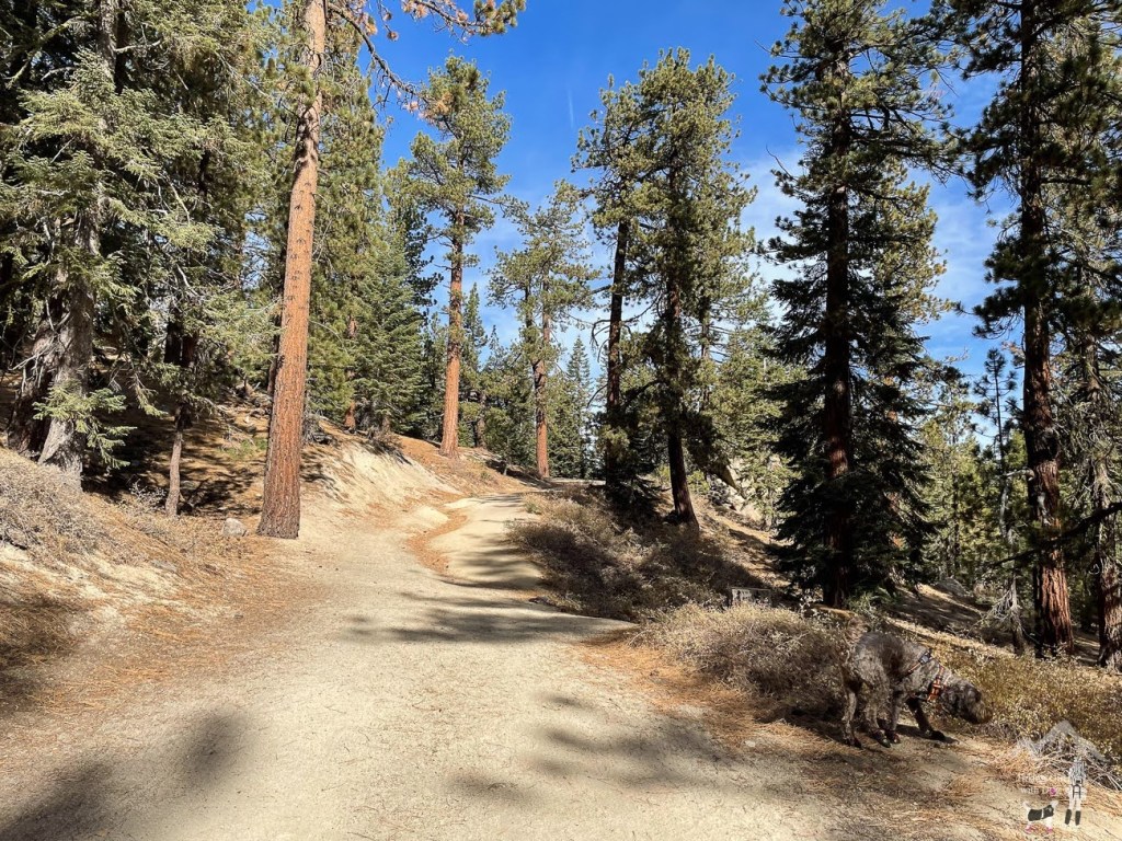
In less than 0.2 miles, you will reach a split. Stay on your left toward Condor Summit.
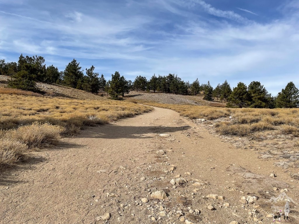
After 1.7 miles, the trail will split again. Leave the fire road and climb up the small hill on your right toward the solar-powered tower.
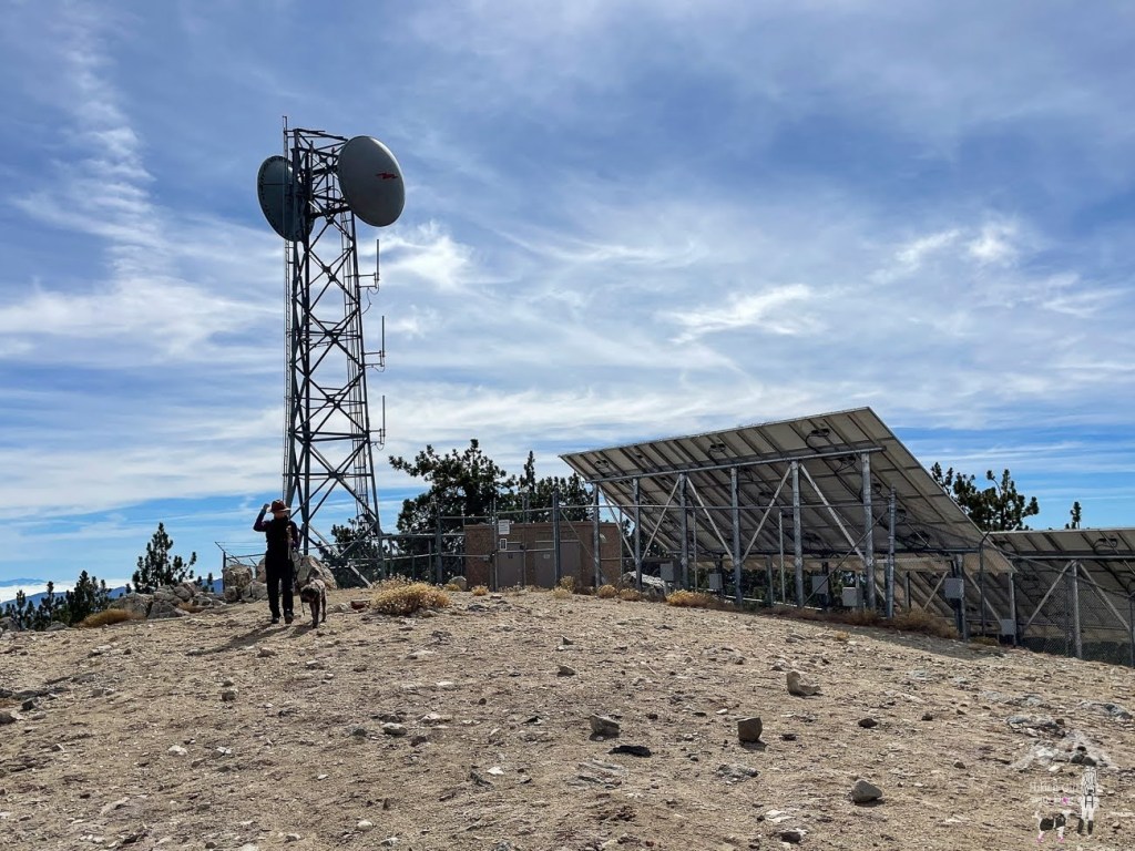
It was windy at the summit, but we were happy to reach the peak and have the expansive view below.

Shop gear for your backcountry dog now at Ruffwear.com
After a short break, we made it back down to Forest Rte 9N24
and continued on to Mt Pinos Condor Observation Site. Hold on to your hat because it can be very windy up here.

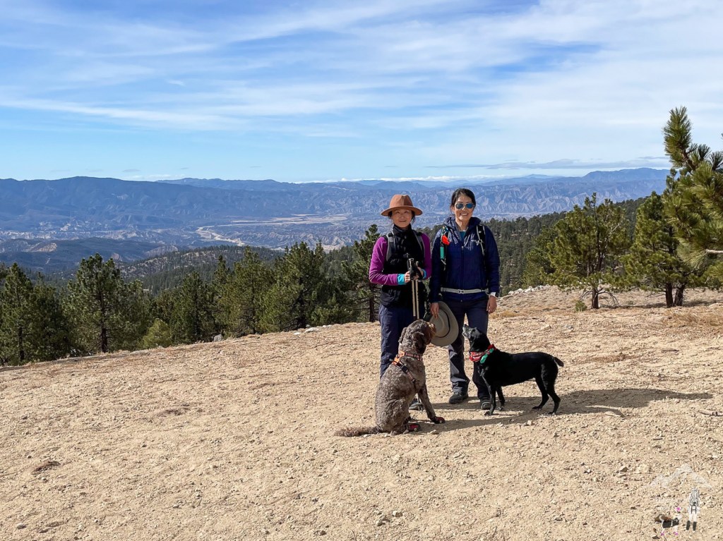
If you want to extend the hike to include Sawmill Mountain(8,806 ft), take the Vicent Tumamait Trail behind the sign below. This is the Tumamait Trail junction. If you include Sawmill Mountain, the hike has a total distance of 7.3 miles and an elevation gain of 1,400 ft. It’s a good moderately challenging hike!

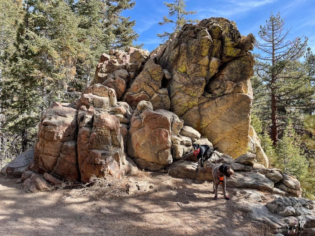
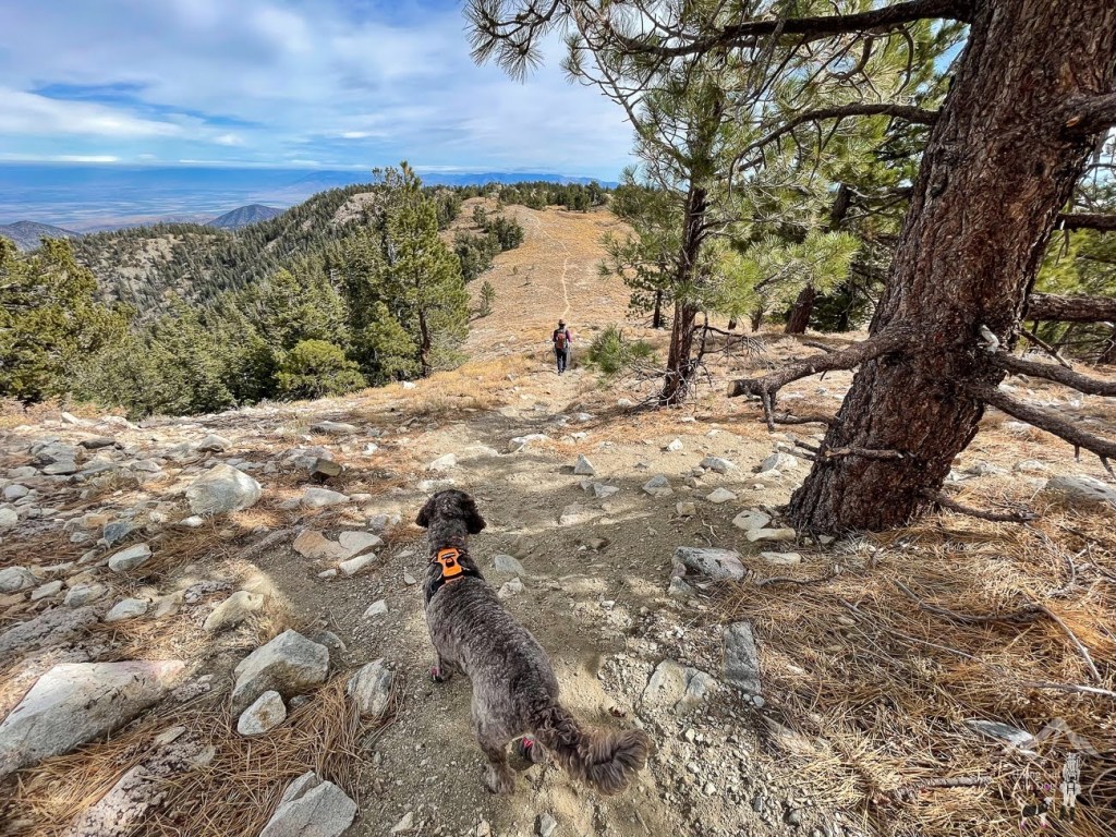
After checking out the observation site, we hiked up to Mt Pinos again to take a side trail behind the summit. I enjoyed this section. It was peaceful and offered a serene view. I recommend this little detour if you want to mix things up a bit. This trail eventually meets up with the fire road. When it does, turn left. It will take you back to the trailhead.
We had a great morning exploring a new trail and new views. I can’t wait to go back, and explore nearby trails in the springtime!
Good to Know:
- Hike Date: 10.24.21
- Distance: 4 miles RT
- Elevation Gain: 700 ft.
- Difficulty Level: Moderate
- Max Altitude: 8,850 ft.
- Fee/Permit: Adventure Pass
- Trailhead: Chula Vista Trailhead
- Notable: View, no restroom, no cell phone reception


Amazing place! Thanks for sharing
Thank you, Josh! I appreciate your comment.
That looks like such a fun place to hike. And talk about the view!
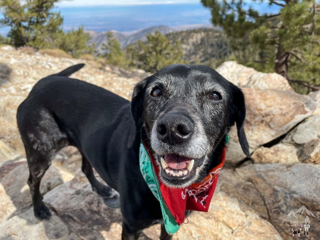
It’s a great place to hike with dogs for sure!