
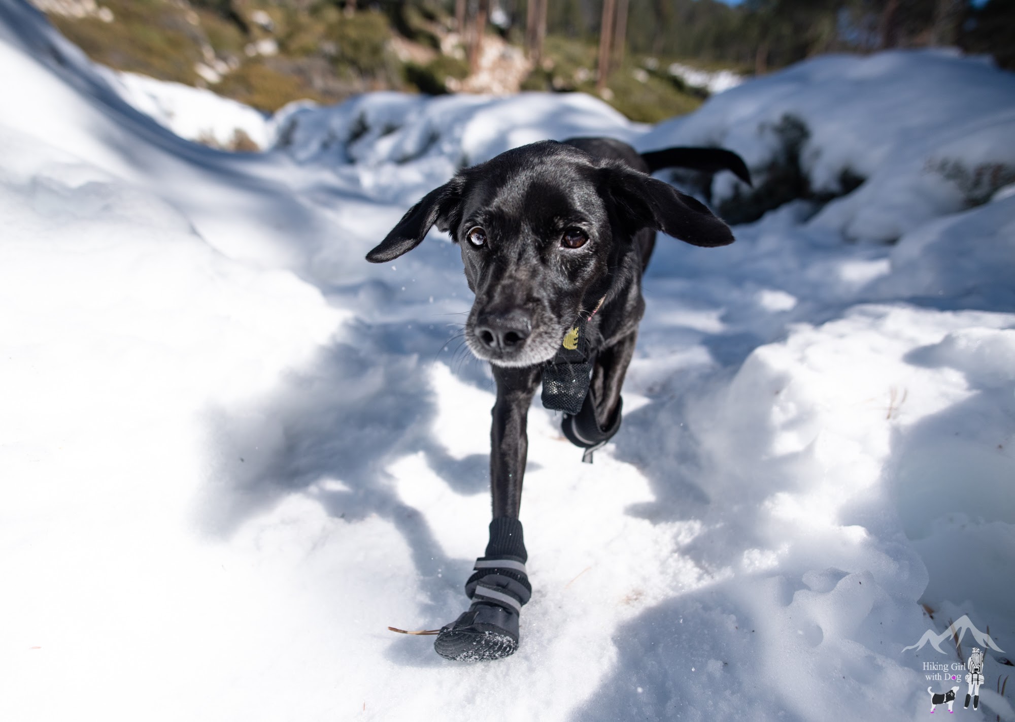
The first time we hiked here last December, we didn’t quite make it to Halfway Camp. Instead, we had a great time in the snow!
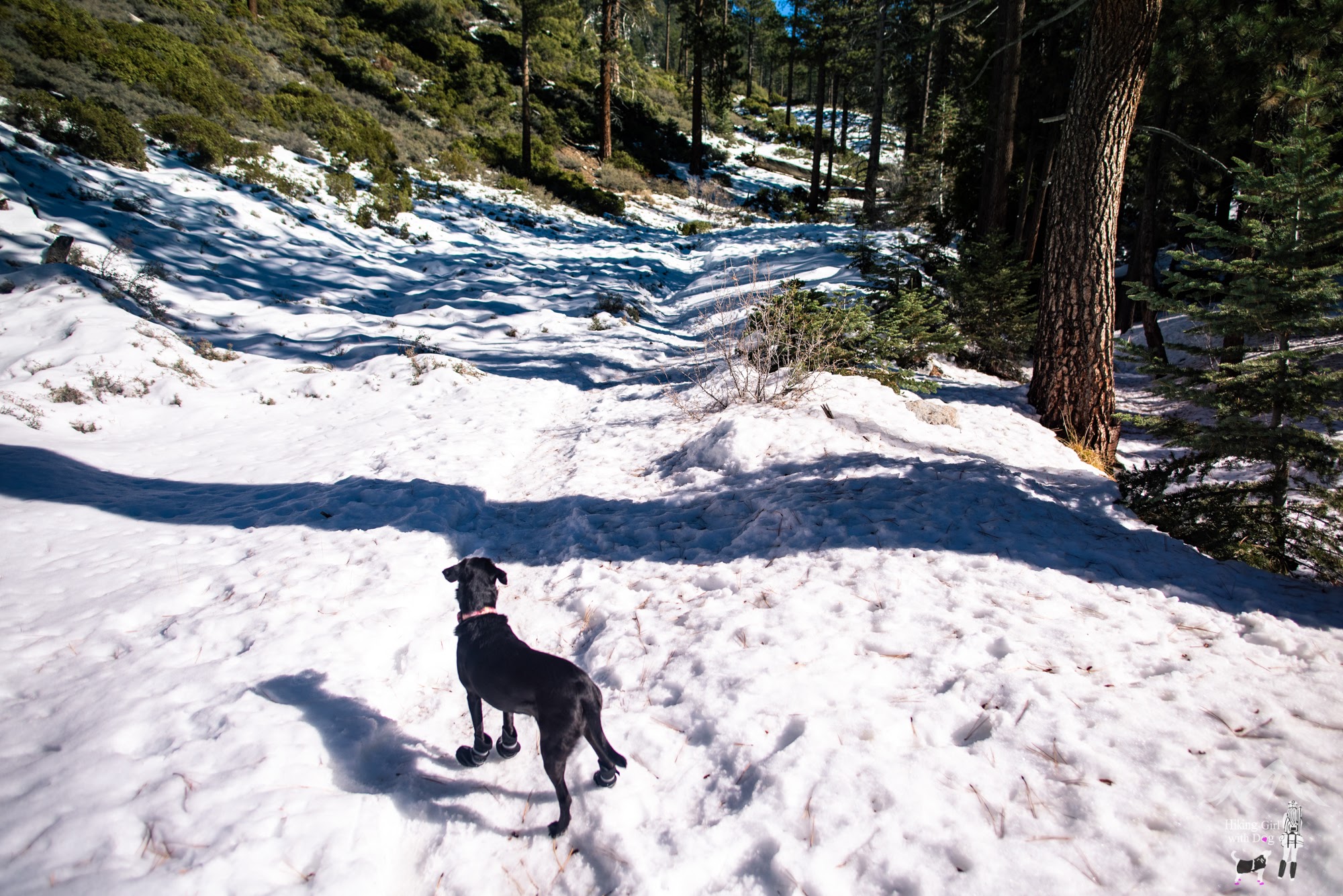


Without the snow slowing us down and distracting us with winter fun, this time, we had a better chance of making it further up on the Vivian Creek Trail in the San Bernardino Mountains.
Vivian Creek Trailhead in Google Maps is not the actual trailhead. This hike actually begins from the Vivian Creek Trail parking lot, adding an additional 0.9 miles to the total distance. So be prepared.

In December, the Vivian Creek Trail parking lot was closed, so we parked in the lower parking lot (a.k.a., Big Falls Trail parking lot) and hiked on Falls Road until we reached the trail sign (“Vivian Creek Trailhead” in Google Maps). Whether you take the trail or the fire road, it’s an easy 0.45-mile walk to the trail sign.
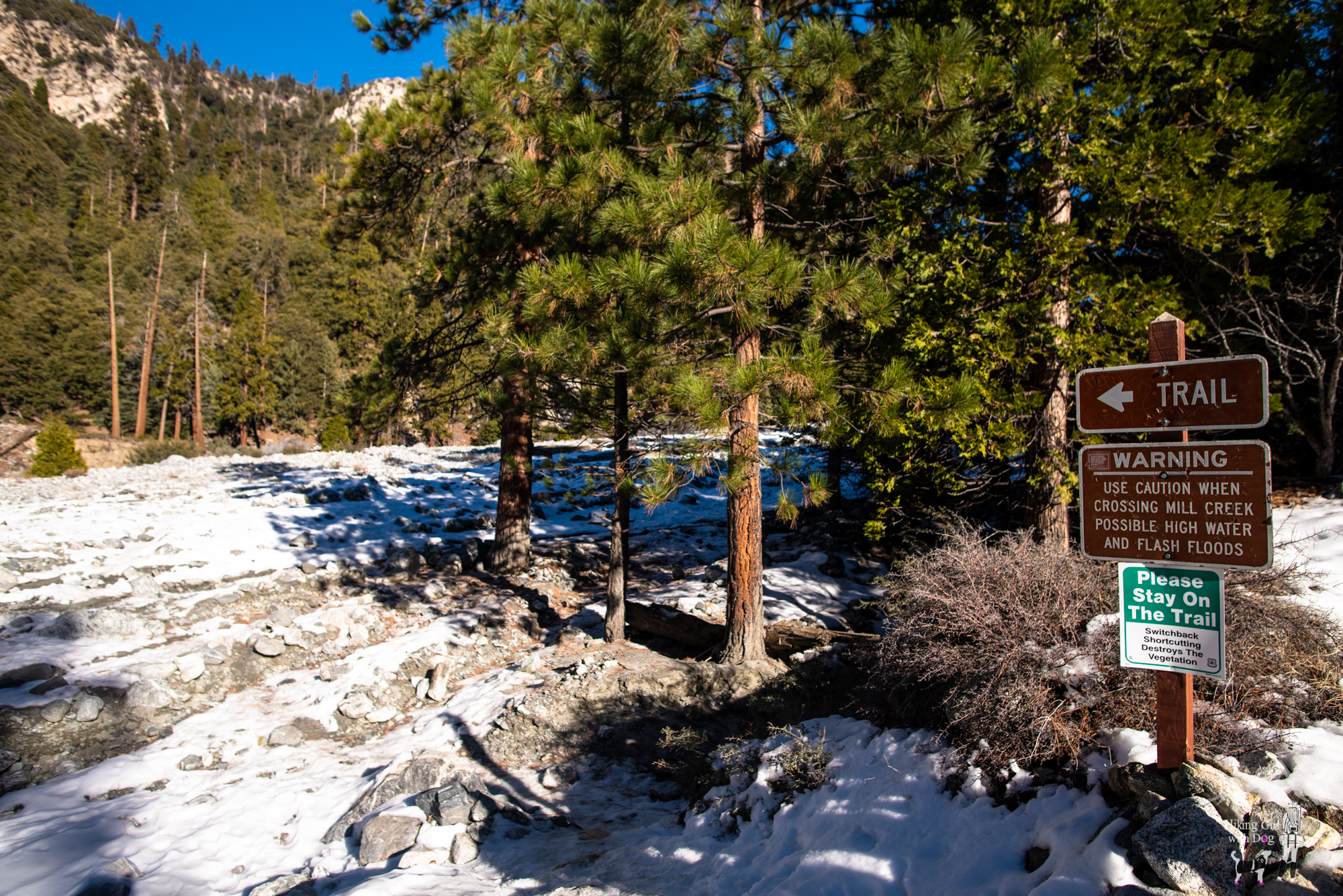
Follow the sign and cross this dry creek bed to the other side. When you reach about halfway, you will see the trail sign on the other side.

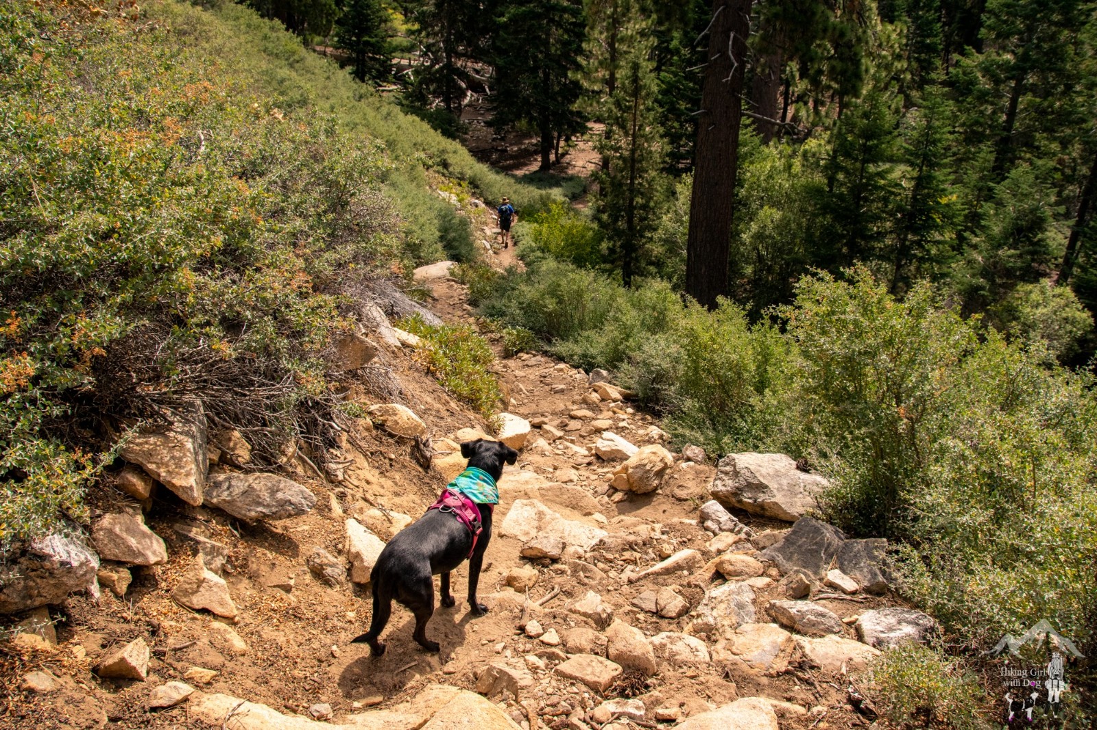
The single track uphill will make your legs work, so take your time and enjoy it.
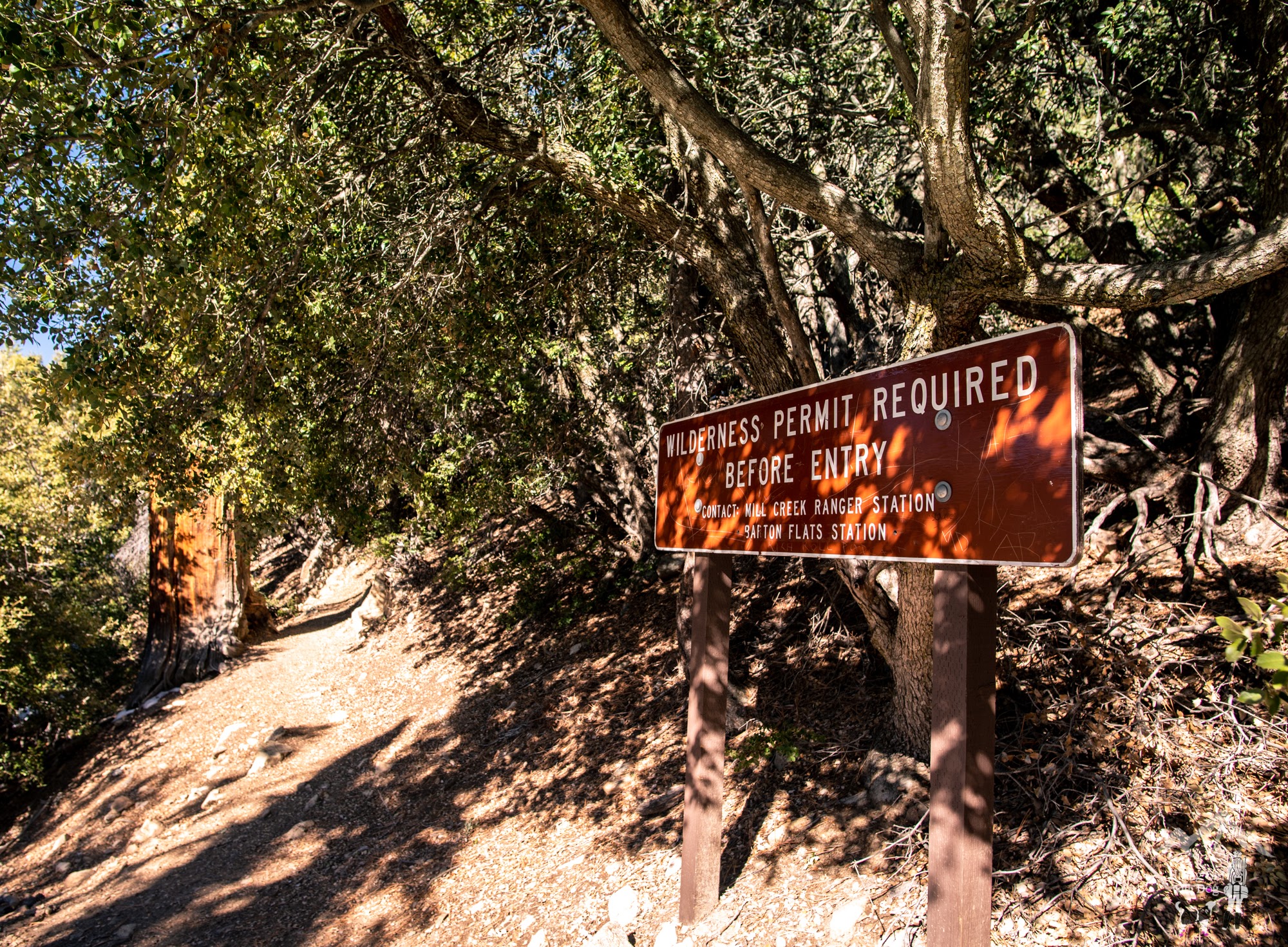
When you are about to enter the San Gorgonio Wilderness, you will see this sign below.
These permit signs around the San Gorgonio Wilderness are outdated, and the Forest Service is working to correct them. You don’t need a permit for day hikes in the San Gorgonio Wilderness anymore. So relax and continue on.
We ran into more backpackers than day hikers as the Vivian Creek Trail is a popular trail for backpacking.
This is an excellent trail to be on if you want to climb San Gorgonio Mountain – the highest peak in Southern California at 11,503 feet (3,506 m). There are multiple places to set up a camp and make it a multiple-day hike.
The first camp is Vivian Creek Camp, which is only 1.3 miles into the hike.

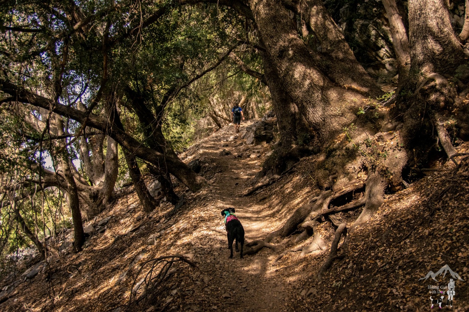
After passing Vivian Creek Camp, we entered a forest with Vivian Creek running through it.
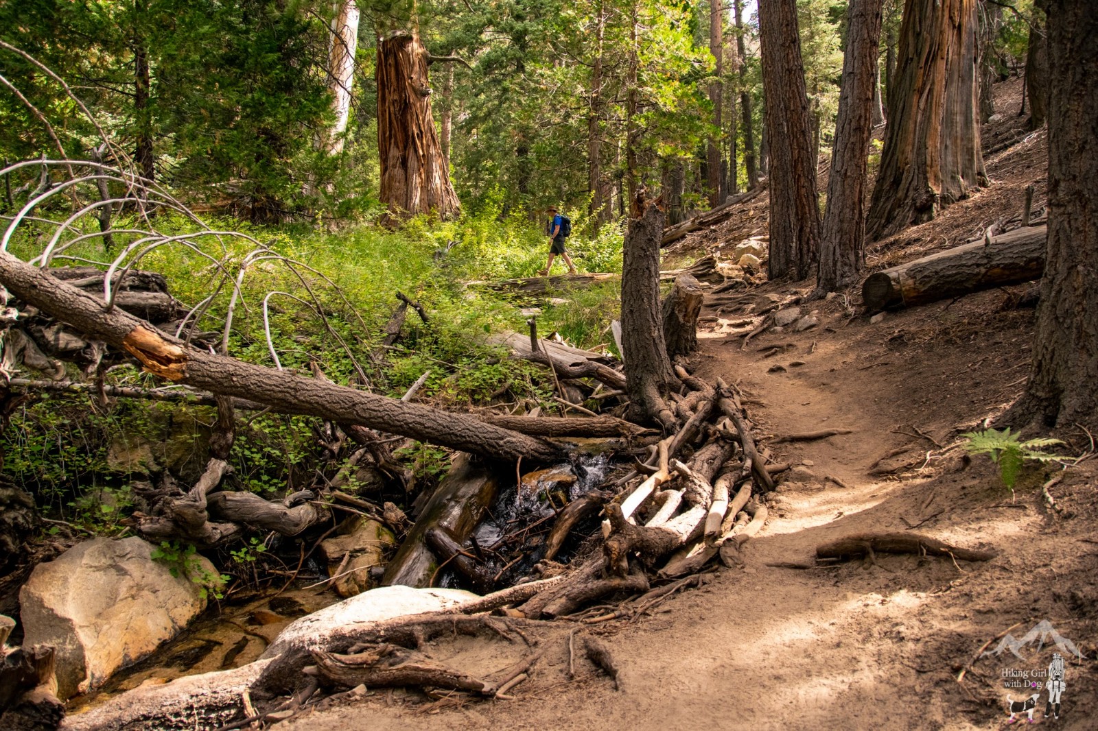
It’s lovely and serene. The creek was a great source to wet our bandanas to keep us cool.

Here are two photos from the same area – 1st photo is from December, and the 2nd photo is from September.

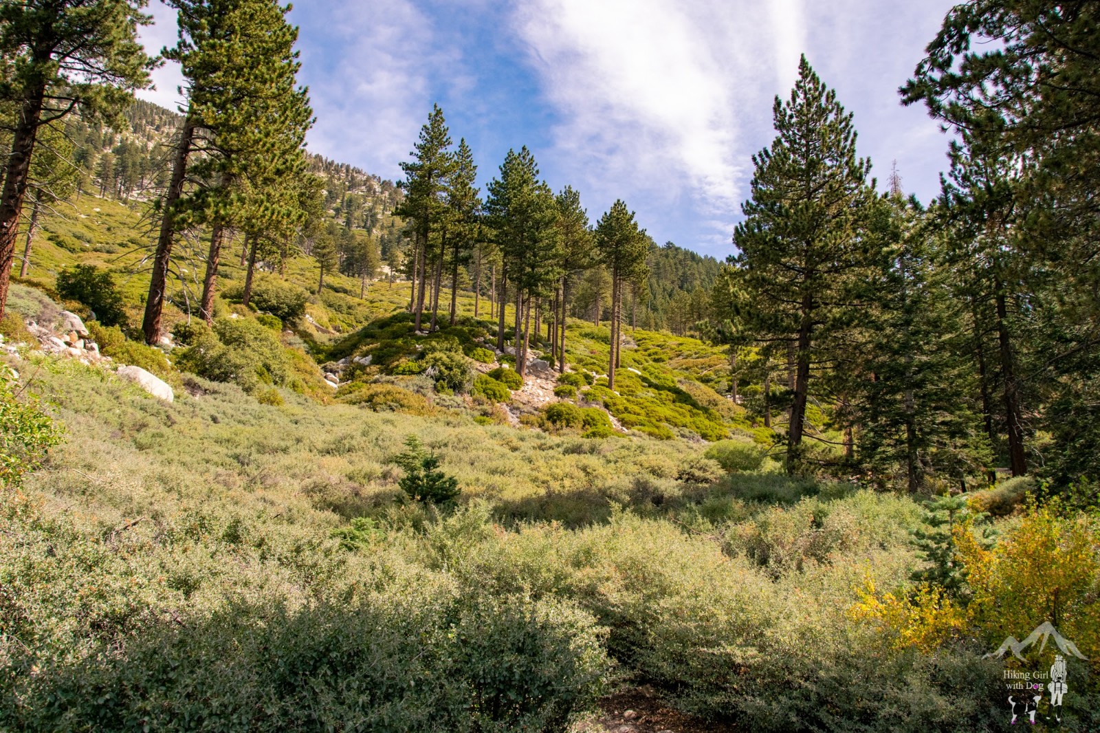
More pictures of the trail for you. The trail is easy to follow, and there is plenty of shade. It’s mostly a single track with rocky sections at times.


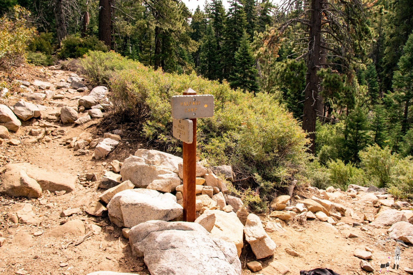
At the 3-mile marker, the trail splits. Vivian Creek Trail continues on the left, and Halfway Camp is to the right. Take the downhill Halfway Trail for about 0.2 miles.
I didn’t see any sign when we reached, but there was a camper still in a tent, so I knew we were in the right place. There are plenty of trees to hang your hammock. Always a good thing to know. When you are ready, go back to the trailhead the way we came in. This is an out-and-back trail.
Good to Know:
- Hike Date: 9.22.2019
- Distance: 6.2 miles RT
- Elevation Gain: 2,120 ft
- Maximum Altitude: 8,080 ft
- Difficulty Level: Difficult
- Trailhead: Vivian Creek Trail Parking Lot
- Fee/Permit: Adventure Pass ($5/day; $30/annual)
- A vault toilet is available at the picnic area
- Notable: wildflowers, stream crossing, partly shady, rock climbing, backpacking


Hike looks beautiful and your pup is adorbs!
Haha, thank you!
Looks like a beautiful place to hike and your dog looks very happy. Adorable. Happy trails.
Thank you. Happy Trails!