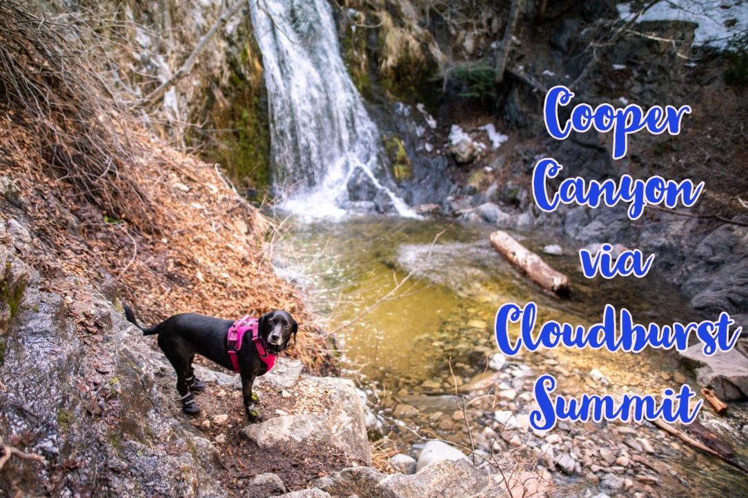
Hiking to Cooper Canyon Falls can start from two locations – Buckhorn Campground or Cloudburst Summit. This hike begins from Cloudburst Summit (7,018 ft) in Pearblossom, CA.
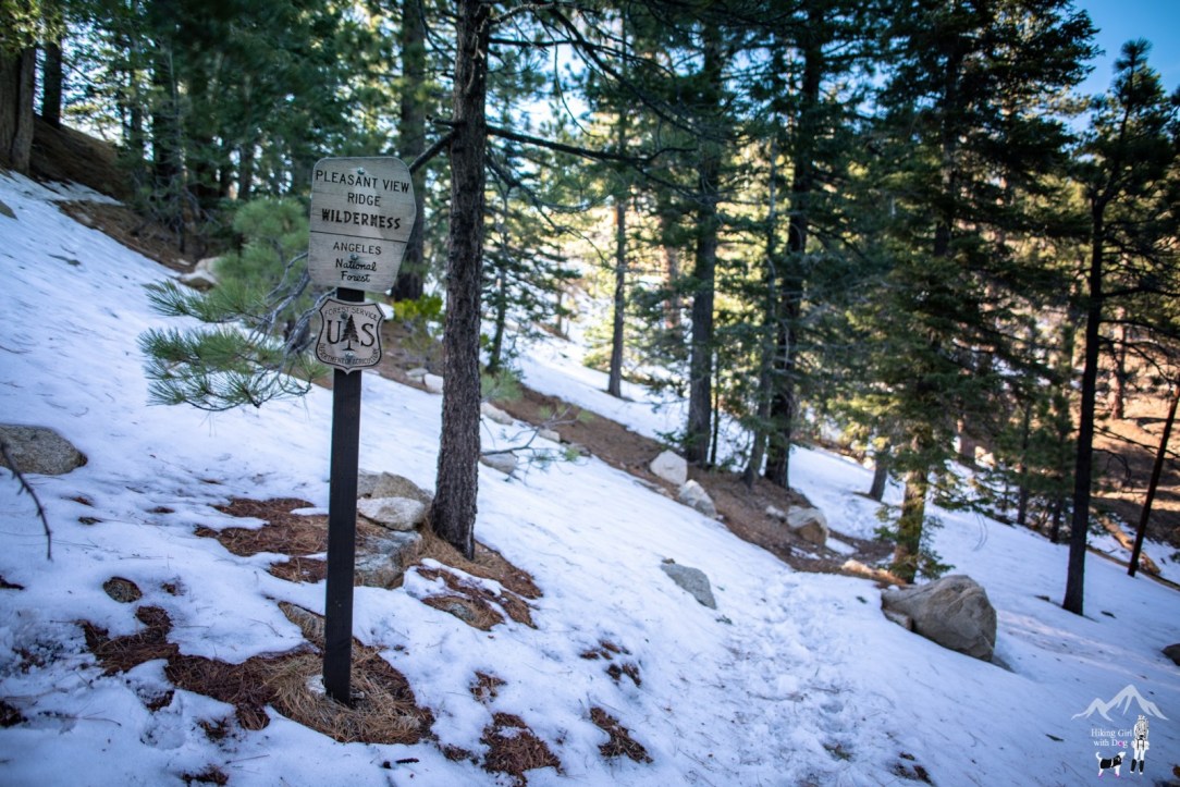
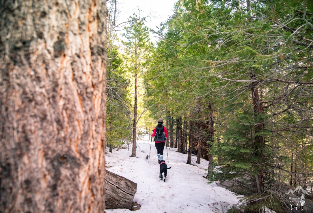
When we arrived at the trailhead, there was still some snow left from the recent snowfall. It was partly ice. After putting on the microspikes, we began the hike on the downhill Pacific Crest Trail (PCT).
You can also start the hike from the fire road behind the gate but the single track PCT is more my kind of path. It was a clear day with lots of sunshine.

I was happy to be back in the forest after exploring the desert for the last two weekends.
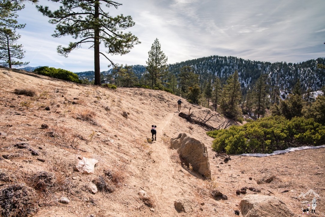
Keep going down the hill until you come to this junction. Continue on to Cooper Canyon Campground. The path from here to the campground was exposed so the snow was already melted.

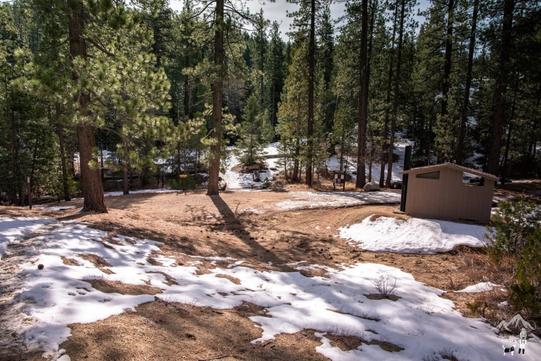
At the 2.5-mile mark, we arrived at the Cooper Canyon Trail Campground. The campground is open year-round and is a first come – first serve basis. It has a vault toilet and picnic tables. Even that day, we ran into boy scouts, who camped overnight and were on their way back. For more details, check with the Angeles National Forest website.
We continued toward Buckhorn Campground.

Past the campground, we could hear the Little Rock Creek as it runs parallel to the trail. Snow, ice, slush then dry, the terrain kept changing on us.

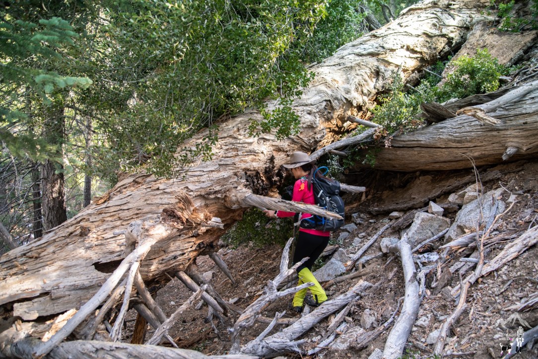
Some parts of the trail were blocked by fallen trees as well. The trail kept things interesting the entire time for sure.
Expect to cross a stream before the Burkhart Trail junction. This is the trail you’d be on if you began the hike from the Buckhorn Campground.
Cooper Canyon Fall is just around the corner from this junction. Turn left. Soon, you will see the top of the waterfall.
About midway down to the bottom of the waterfall, there is a rope. If you feel adventurous, use it to get down the steep downhill. The rocks looked icy and too sketchy so I opted out and didn’t go down further.
The waterfall is a little over 30 feet tall so it may not impress you with its size but instead, its serene forest setting makes this waterfall delightful.


Although this waterfall flows year-round, which is rare for Southern California, the best time to visit is early spring after a good rain. During hot months, there might be just a trickle. Oh yeah…and the mosquitos to deal with.
The total distance of this hike is 7.3 miles RT but we ended up logging 8 miles that day by hiking past the waterfall, adding more obstacles to the list – more fallen trees and stream crossing. :)
Good to Know:
- Hike Date: 1.27.19
- Distance: 8.1 miles RT
- Elevation Gain: 1,919 feet
- Maximum Elevation: 7,025 feet
- Difficulty Rating: Challenging
- Trailhead: 34.351403, -117.934531 (Cloudburst Summit Trailhead in Google Map)
- No toilet
- Permit/Fee: National Forest Adventure Pass ($5/daily, $30/annual)
Get Our Latest Comprehensive Dog-friendly Trail List Here. Enjoy!
Happy Hiking!

KEEN Footwear discounts starting at 25% OFF


