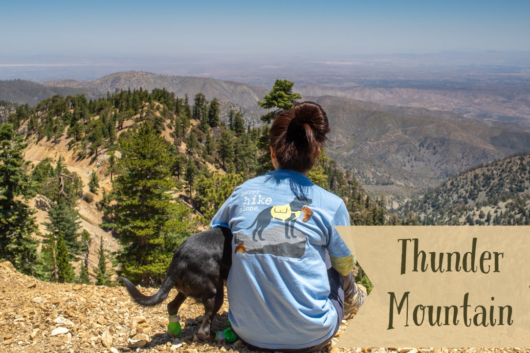
After hiking to peaceful Timber Mountain, one of the Three T’s, in June, I was excited to conquer the other two mountains. Next up, Thunder Mountain.
There are a few trailhead options. We began the hike on a fire road near the Mt Baldy ski lifts. It’s a grueling uphill for 0.4 miles to Mt Baldy Road.

Once you are on Mt Baldy Road, the elevation gain is more gradual.
At the 1.4-mile mark, when you come to a fork, take the trail on the left and continue onto Mt Baldy Notch. It will be hard to miss the fork because there aren’t any other trails up to this point. However, if you do miss it, the fire road will take you to Mt Baldy Notch too. It just takes a bit longer.
When you reach Mt Baldy Road, go straight until you come to this sign then go toward Thunder Mountain. This is an easier way but longer.

An alternative route is harder but you guessed it. It’s shorter. I don’t mind spending less time on a fire road. If you are like me or just need more challenge, before you reach the sign above, follow a dirt road on your right that goes around Mt Baldy Notch and takes you down to the snowmaking equipment.
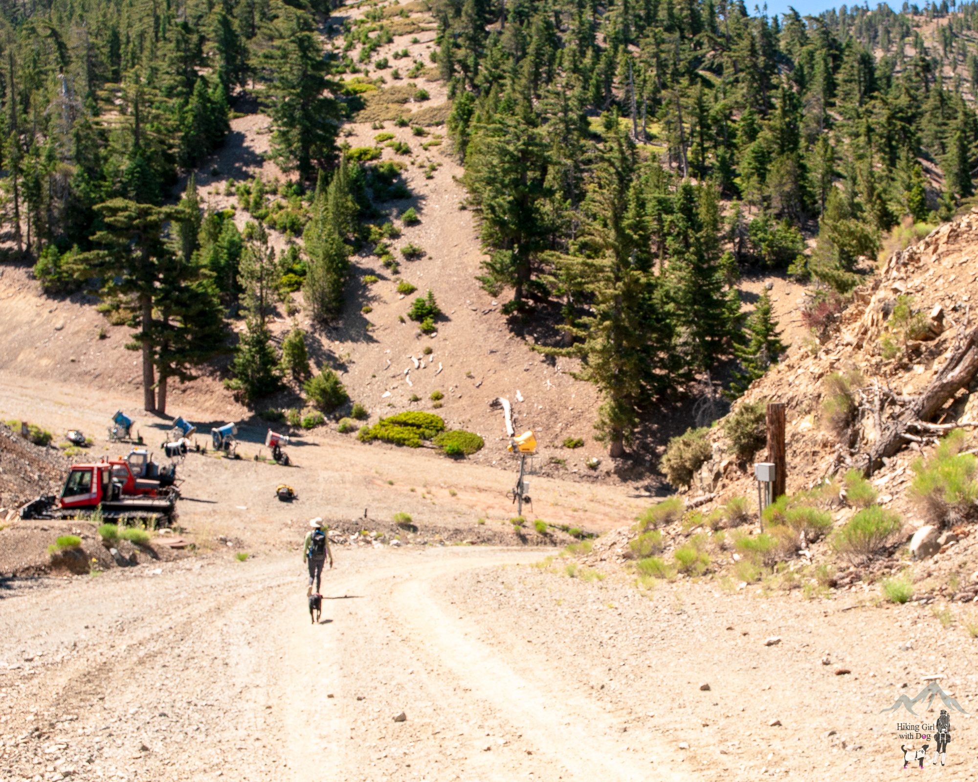
When you come to a steep rocky hill on your left, that’s the path you will need to take. Take a water break here and start the ascent. A use trail is faint but it’s there.

This is what it looks like from the top of the hill looking down at Mt Baldy Notch.

Go right when you reach the fire road at the top of the hill.

When you come to a fork, both ways will get you to the peak. We took the trail on the right for a bit longer but gradual incline. We reached the peak of Thunder Mountain soon after. If you continue on to Three Tee’s Trail, you will hike to Telegraph Peak then to Timber Mountain.

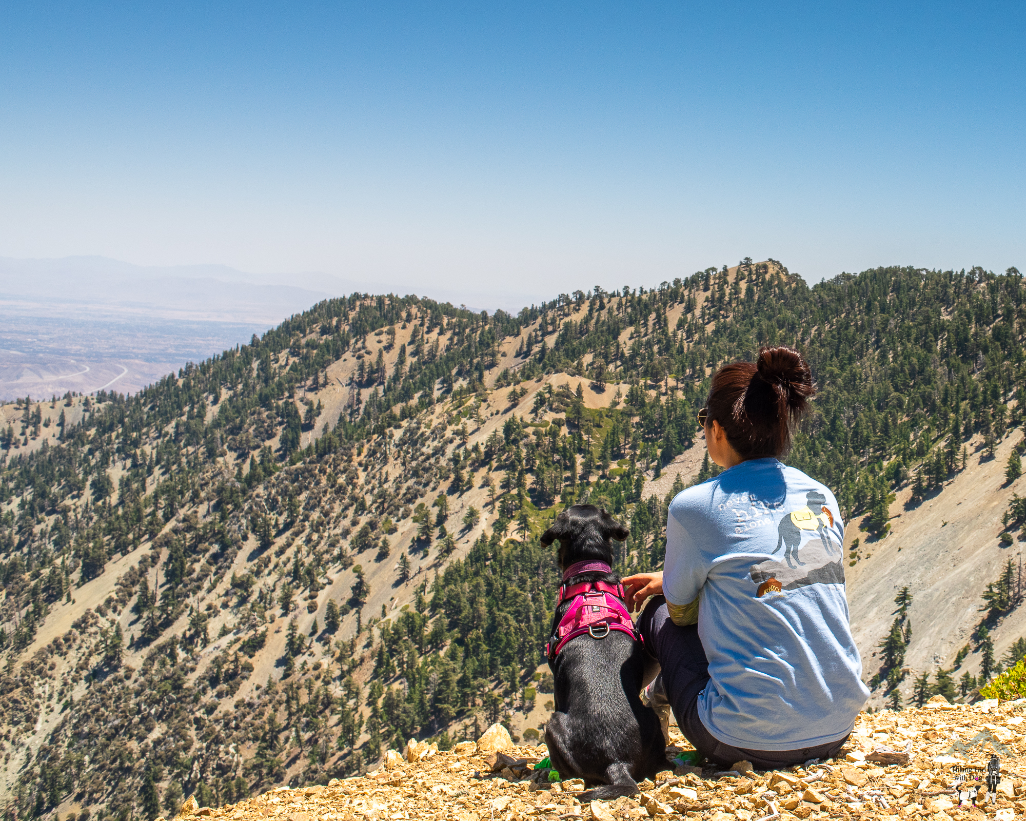
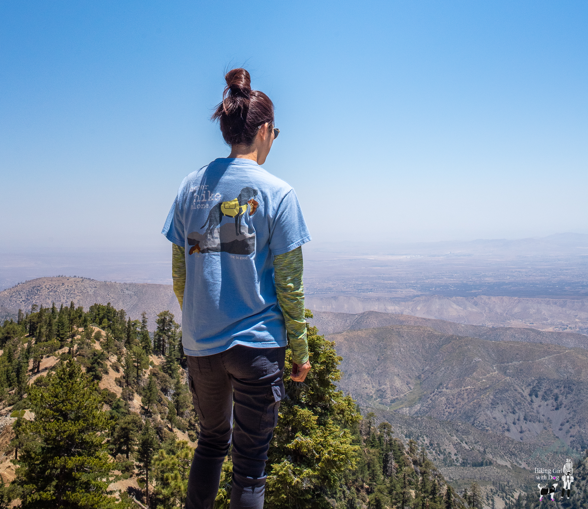
At 8,587ft (2,617 m), Thunder Mountain was disappointingly unnoticeable. There was no plaque nor a marker to indicate the peak. Oh well. Sometimes that happens. We found a shaded spot for lunch under the pine trees and enjoyed the view anyway.
After lunch, instead of going back down the way we came up, we took the shorter steep hill down from the peak. Then, we took the trail to Mt Baldy Notch instead of almost sliding down on the steep rocky hill we used to come up.

From Mt Baldy Notch, we took the same way down to the trailhead. The round trip is 7 miles in total.

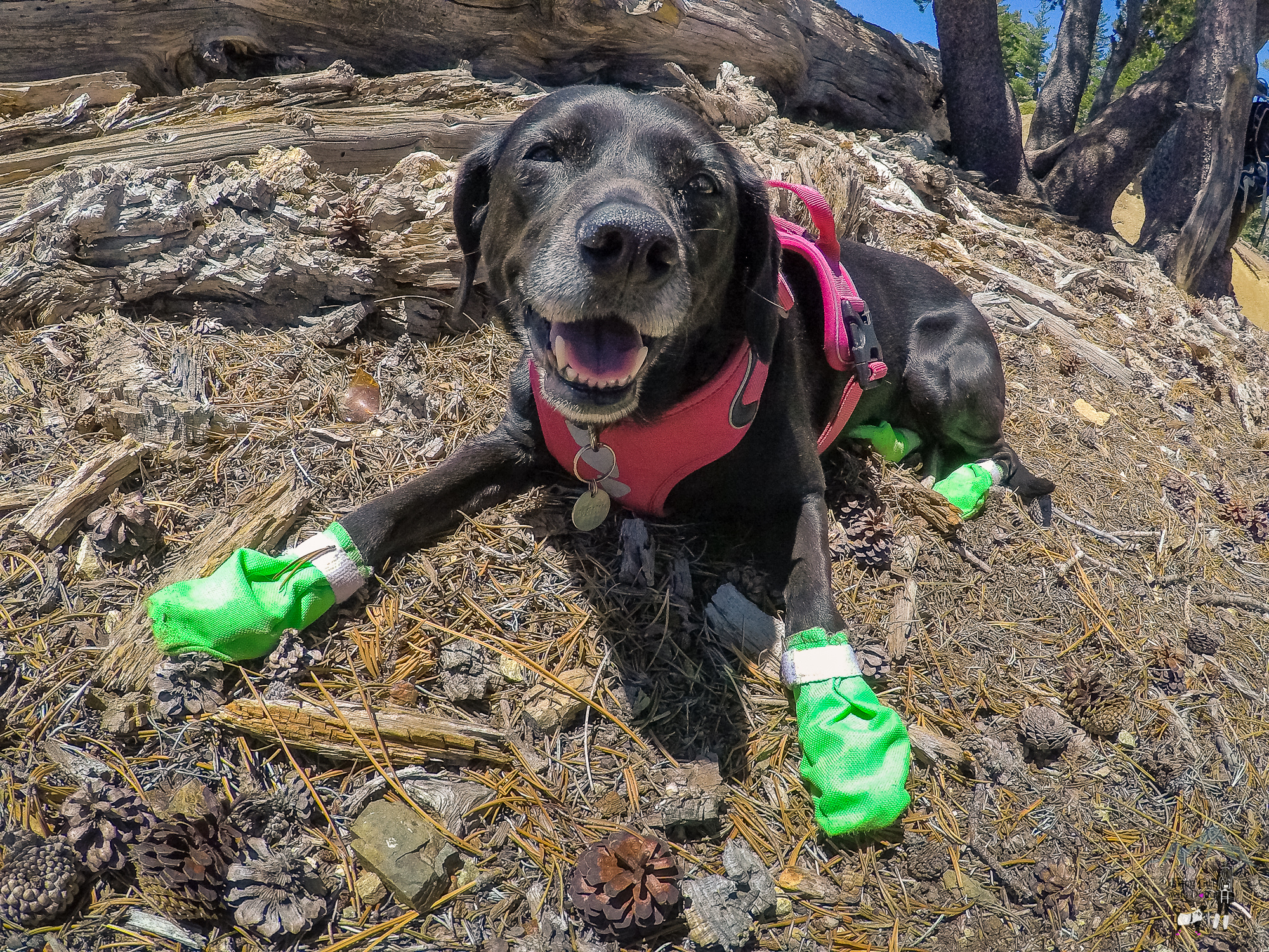
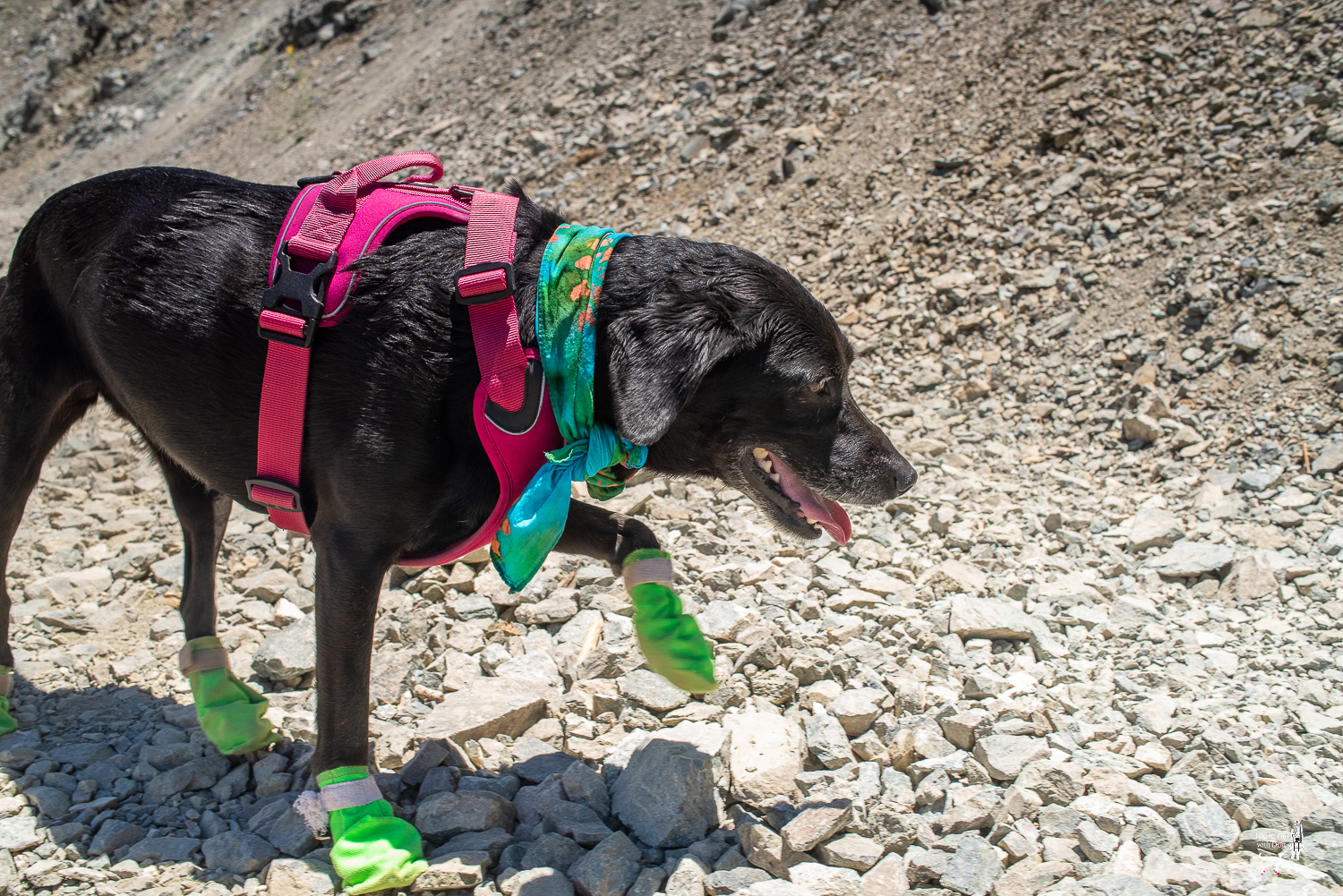
We were hot although the temperature was in the upper 60s. I am not sure if you can see in the photo but Xena is wet from her head to neck. We kept her head and neck wet to keep her cool. The wet scarf and booties protected her from overheating and the hot rocky trail. This hike is on a fire road with no shade. Please avoid the hottest time of the day (10 AM – 4 PM) if you plan to bring your dog.
Good to Know:
- Hike Date: 7.1.18
- Distance: 7 miles RT
- Elevation Gain: 2,167 ft.
- Thunder Mountain at 8,587ft (2,617 m)
- Difficulty Rating: Difficult
- Trailhead coordinates: 34.269369, -117.624547 (copy/paste onto a GPS app)
- Permit/Fee: Adventure Pass required for parking
- Vault toilets near the ski lifts
Get Our Latest Comprehensive Dog-friendly Trail List Here. Enjoy!
Happy Hiking!

The Clymb: Save Up to 70% on Industry Leading Outdoor Brands! Shop Now


Thanks for the hike, looks and sounds excellent
Thank you for reading!
I enjoyed it my pleasure.
I love your honesty when you got to Thunder Mountain. Sometimes some trails are disappointing and that’s okay. The view was great and the hike was good. It was worth it. Lol
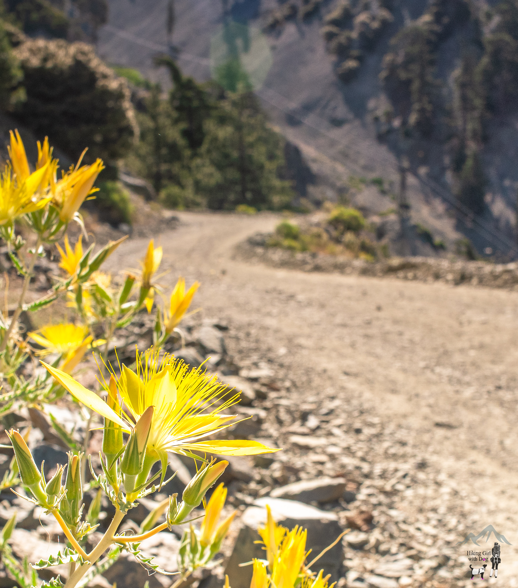
Thank you, Melanie. All hikes have highlights and lowlights. The peak wasn’t one of the highlights of this hike unfortunately but those wildflowers were pretty to look at and the view at the top was great. Any day spent climbing a mountain is a good day for us. :)
Great photos as usual. I have one of the “Never Camp Alone” shirts from Dog is Good! I get so many compliments about it.
Ahhhhh I want that shirt too! That’s perfect for you! :)