Category: San Gabriel Mountains

Winston Peak and Winston Ridge

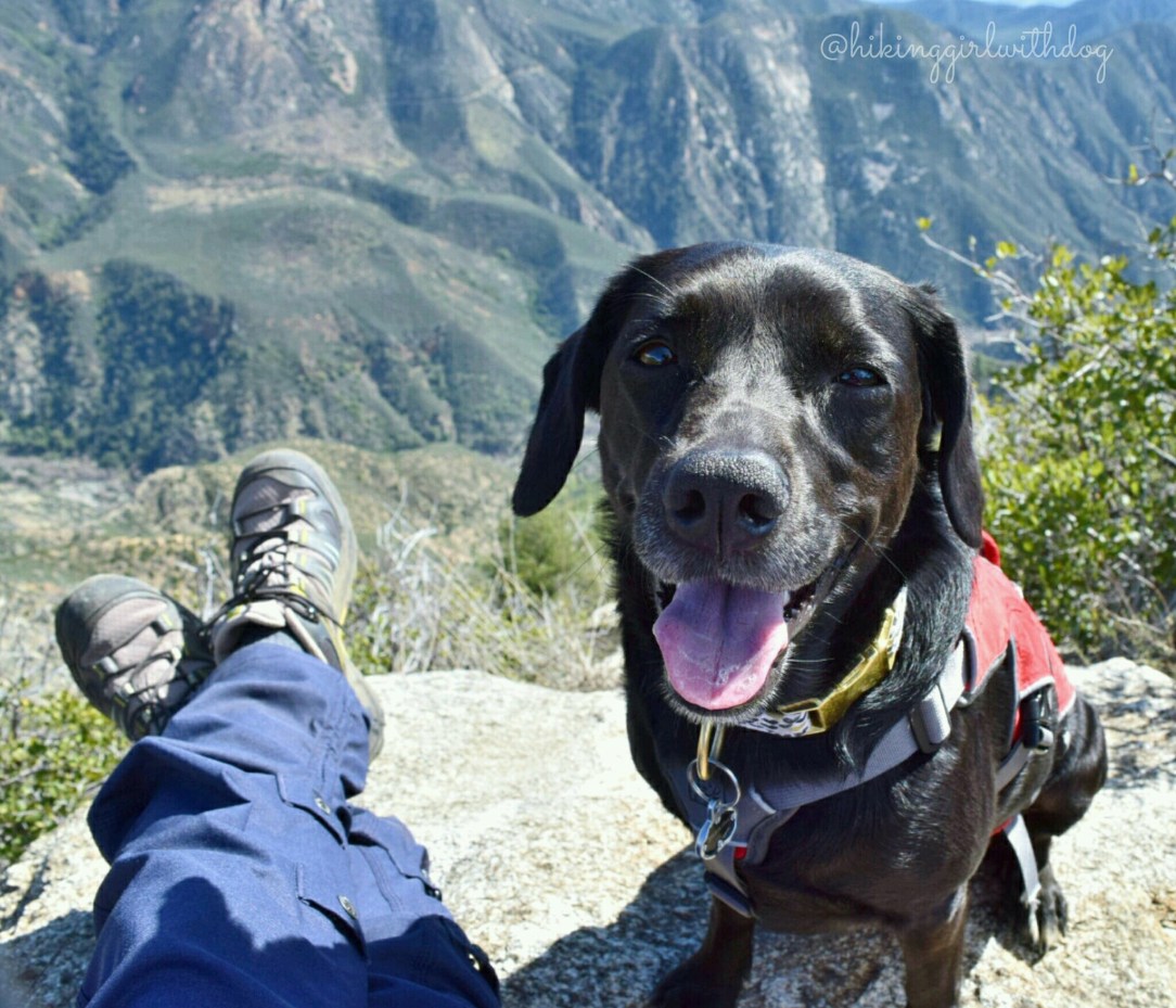
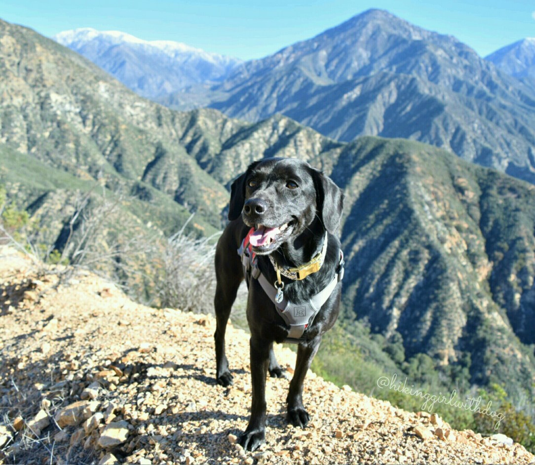
After parking at the little dirt lot at Cloudburst Summit, we began our hike on the small trail off Angeles Crest Hwy (Hwy 2). If you are facing the fire road, this trail is on your left. You can do the Winston Peak loop via the fire road as well. After 0.6 miles and 375 feet

Continue reading

Mt Williamson via Islip Saddle

One of my adventure goals for this summer was a sunset hike in the Angeles National Forest. I picked Mt Williamson (8,214′). The total length of the hike is only 5 miles and since it doesn’t get dark instantly after the sun sets, we would need to hike back in the dark less than 2.5

Continue reading

Switzer Falls

This short moderate hike is one of the most popular hikes in L.A. I highly recommend doing it super early in the morning or on a weekday if that’s feasible. The trailhead is located at the main parking lot at the bottom of the paved Switzer Truck Trail. If you park at one of the

Continue reading

Mt Baden-Powell via PCT

Best dog-friendly hikes in Southern California

This hike has been on my list since last year and with my sister’s wedding and all, I didn’t get to hit the trail much in May. The night before the hike, I kept waking up. I was too excited. At 9,406 feet, Mt Baden-Powell was going to be Xena and my highest peak to conquer

Continue reading

Fish Canyon Falls

9/12/19  Update:  This trail is indefinitely CLOSED due to fire damage since 2016. Fish Canyon Falls trail is located in Duarte, CA and the trailhead is located in Vulcan Material Plant. At the end of Fish Canyon Road, there is a sign for the trail. Follow the sign to the parking lot. This is a popular hike

Continue reading

Sunset Peak via Fire Road

There are two trailheads off Glendora Ridge Road for this hike. This hike begins from the second trailhead (“Sunset Peak Trailhead #2” in Google Map). We started around 10:15 AM which is much later than our usual start time. I miscalculated how much cooler it would be up there with higher elevation (starts at 4,361 ft.)

Continue reading

Potato Mountain via Evey Canyon

With a mountain name like that, we had to go! The trailhead is off Mt Baldy Road in Claremont, CA where it meets Palmer Evey Mtwy. There is no official sign for the trailhead but there are dirt strips on both sides of the road for parking so it wasn’t hard to find. GPS information can

Continue reading