
This wilderness park has gone through some changes since we visited summer of 2016. For one, there is no entrance fee. On Black Friday, we returned to the park after 7 years and scoped out the current condition of the trails. This time, though, we tried a different route. I am updating this post to include two hiking guides.
The entrance to the park is clearly marked on Encinal Canyon Rd.

Drive on Carmichael Rd until you see the parking lots on your right.
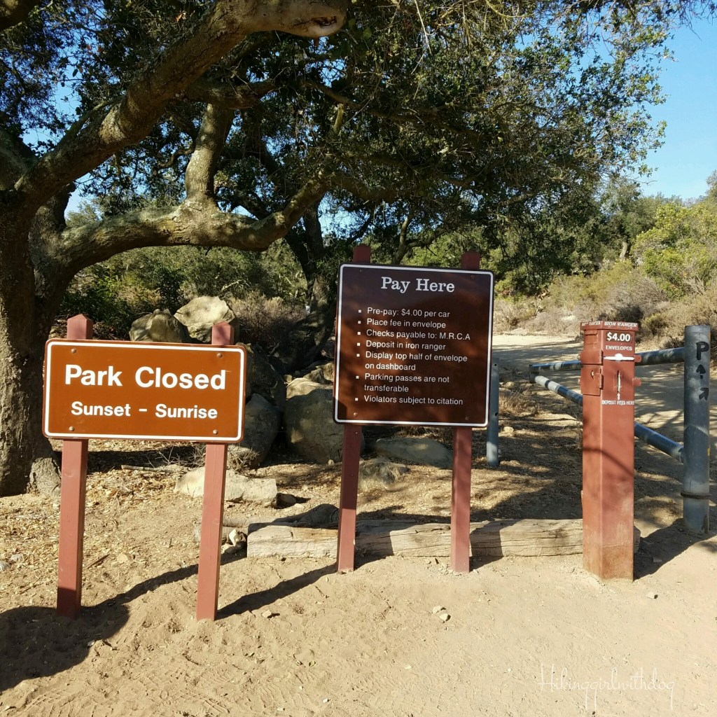
There used to be a $4 parking fee, but now it’s free. Things usually go the other way, especially in this climate of economy, so this was a refreshing change.
Now there is another overflow parking lot above the 2nd parking lot, making it 3 lots in total. This park has become more popular over the years.
Most people show up after mid-morning. If you want to avoid crowds, go early.
The restroom with flush toilets is still there near the trailhead and across from the picnic area. Up to this point, both hikes are the same.
Route 1 – EASY-MODERATE (Pictures are from the 1st hike in 2016)
- Hike Date: 7.10.16
- Distance: 3.1 miles
- Elevation Gain: 389 ft
- Difficulty: Easy-Moderate
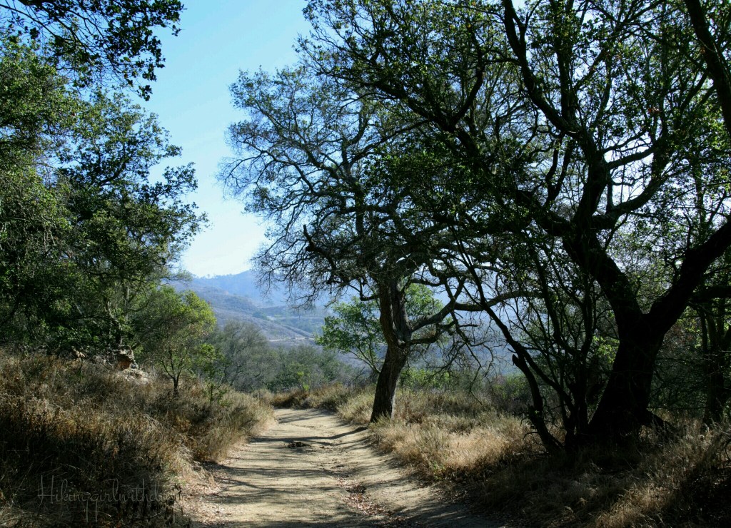
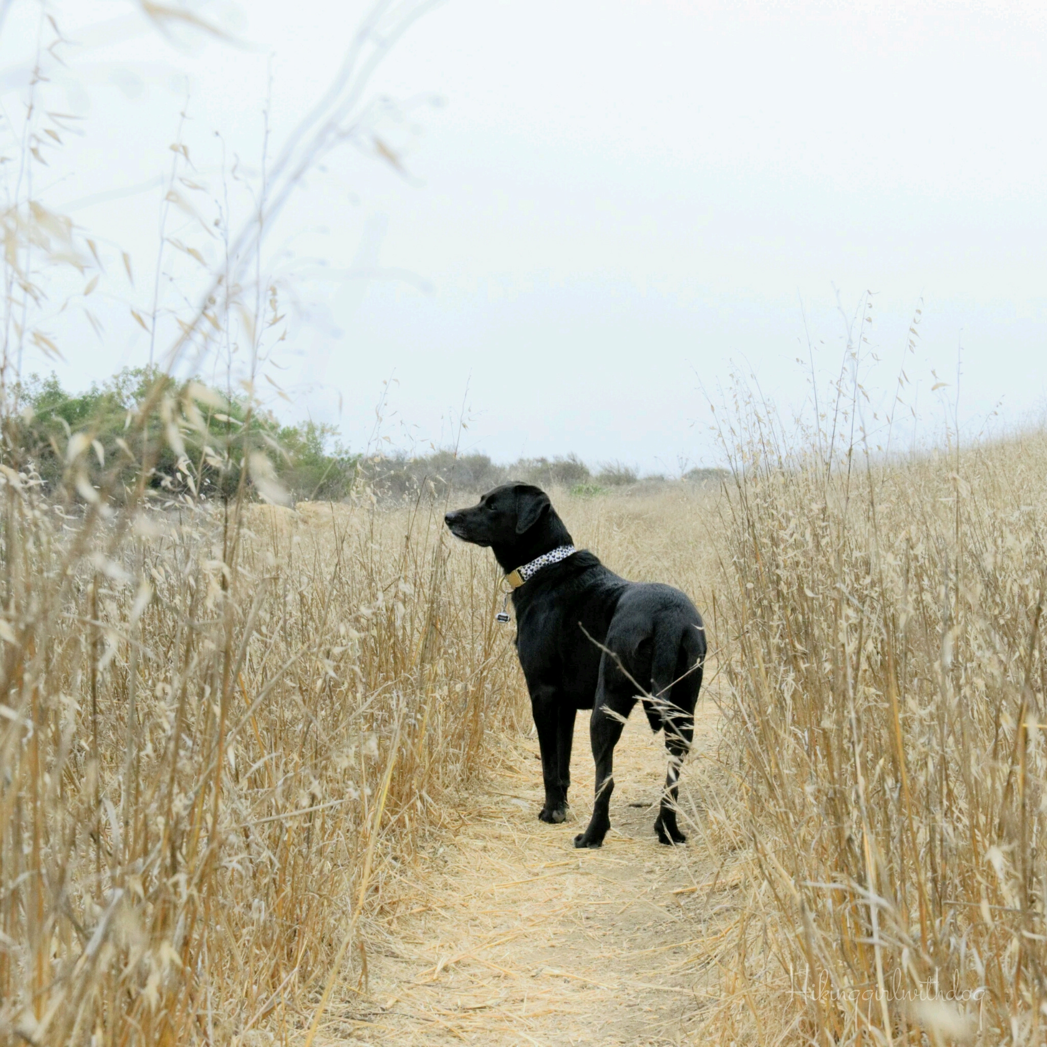
Carmichael Trail was wide enough for two people to walk side and side comfortably.
We passed a large picnic area on the left. Xena was wearing her Ruffwear Swamp Cooler vest already at 7:30 am. It was July after all.

Overall, the trails in Charmlee Wilderness Park are well-maintained but not all well-marked.
That was then. Now, you can find trail signs at all intersections.
Here was my route. As you can see, there are many trail options here.
I did the loop clockwise. From Carmichael Trail, we turned left onto Russell Trail, then another left onto Potreo Trail.


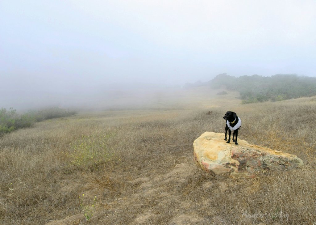
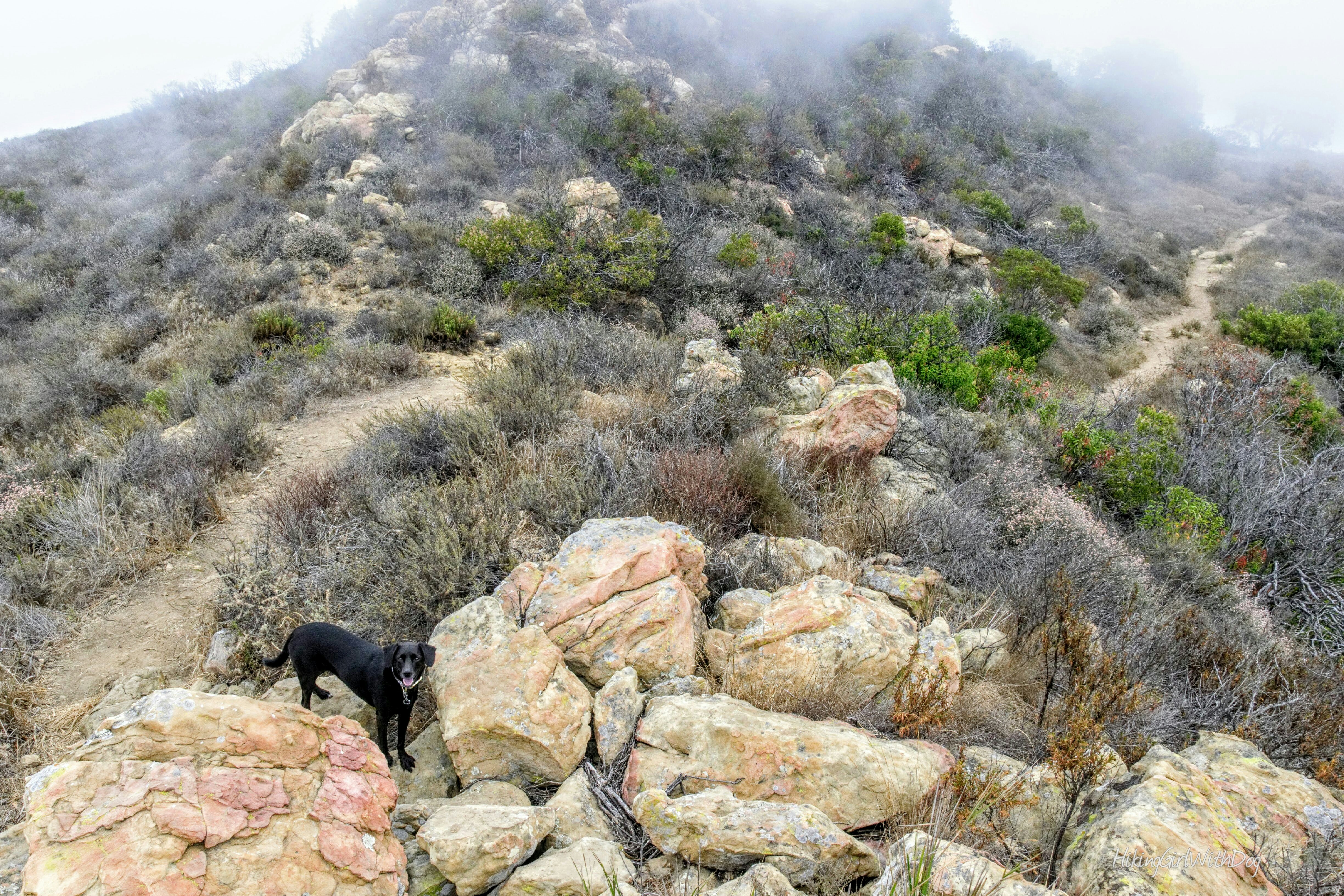
It got foggy just in minutes, and I loved it! I couldn’t see where I was going, but I didn’t care since the trail was pretty flat. I just had to be mindful of wildlife.
Shop gear for your backcountry dog now at Ruffwear.com
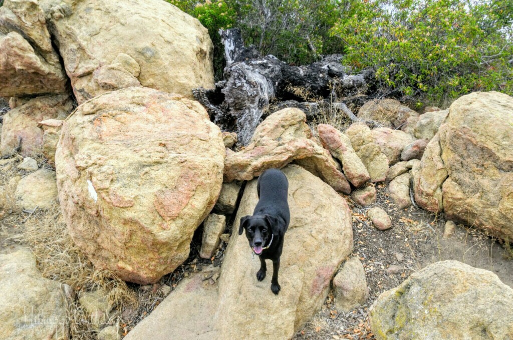
On the Potreo Trail (it’s the long straight line from my route), we found numerous interesting rock formations.
One thing that stood out to me was how much the birds were active in the park. If you love bird watching, this might be a good place to check out.

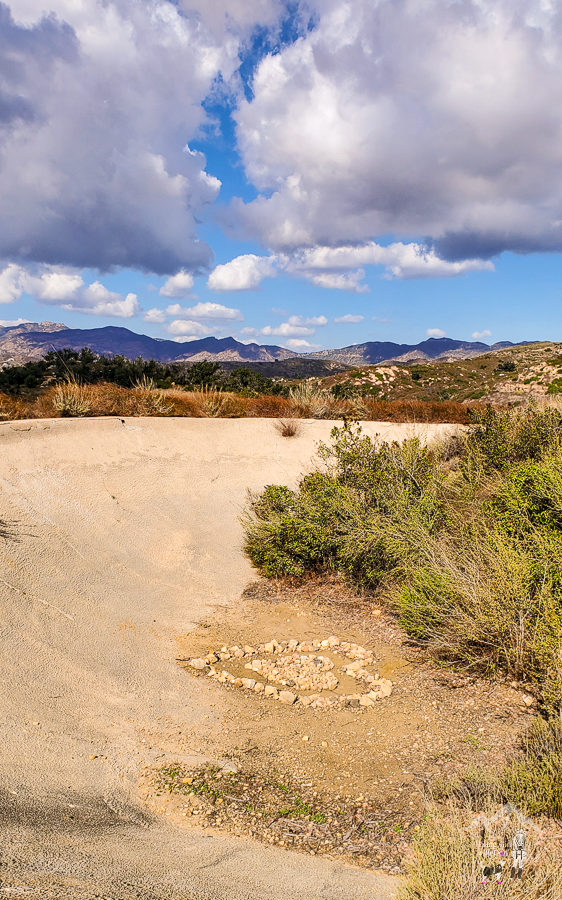
Then I saw a sign for the Reservoir so we checked it out but there was no water.

After that, we followed a sign for Clyde Canyon. Yes, we aimlessly just wandered that morning and enjoyed nature. More cool rock formations.

We stayed on the rocks and watched the birds for a while. The marine layer covered the park like a soft blanket. When Xena got antsy, we got down from the rocks and continued on. Soon, the scenery changed to an open field, then the forest. This little park has everything.


Find a perfect harness for your adventure dog at Ruffwear!
Route 2 – MODERATE
- Hike Date: 11.24.23
- Distance: 3 miles
- Elevation Gain: 482 ft
- Difficulty: Moderate
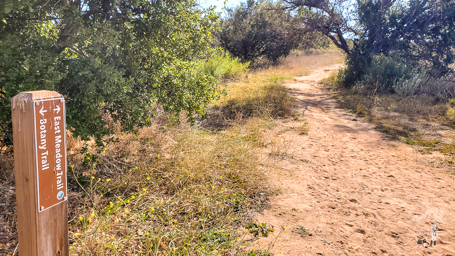
From Charmichael Rd, we took Botany Trail on the left near the picnic area. It’s a loop and we did it clockwise.
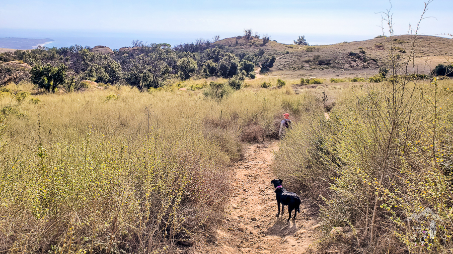
From Botany Trail, we continued on to East Meadow Trail, Ocean Overlook Trail, and Lower Loop Trail until we reached the Ocean Overlook area.


It was much hotter at the Overlook, so Xena wanted to leave soon. We got back on the Lower Loop Trail and headed for the Reservoir for old times’ sake. There is a bench now facing the ocean if you want to take a break.
Here is the rest of the route if interested: (S) West Meadow Trail, (L) Matt Kouba Trail, (R) Long Hill Trail, (L) Potrero Rd, Lulu Carr Rd, and (R) Three Park Trail
I still find Charmlee Wilderness Park charming. The park is small but has a lot to offer as you can see in the photos. Pack your lunch and enjoy it at the picnic area after a little hike.
Good to Know:
- Numerous hiking options for beginners
- Flush toilets are available near the parking lot
- Permit/Fee: None
- Trailhead: 34.059108, -118.879238 (copy/paste to your GPS app)
Get Our Latest Comprehensive Dog-Friendly Trail List Here. Enjoy!
Happy Hiking!


