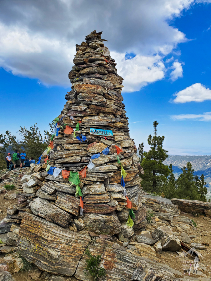
Sitting at 8,822 feet, the summit of Sawmill Mountain is the highest point in Kern County and the second highest in the Los Padres National Forest.
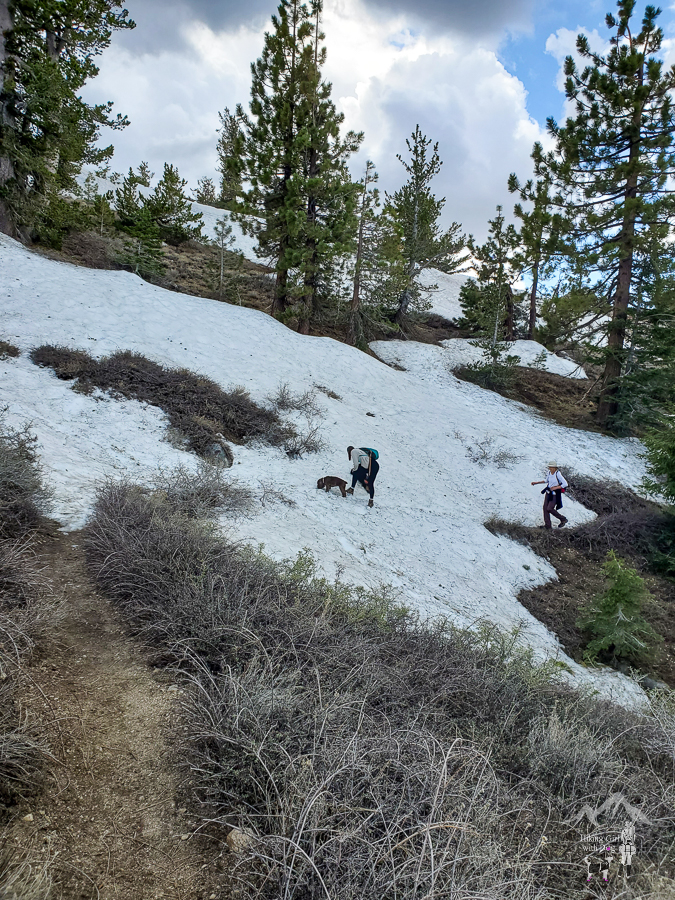
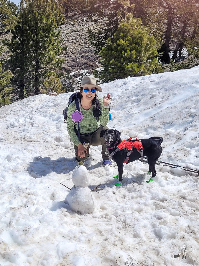
East Tumamait Trail – 21W03 to Sawmill Mountain is closed during winter and opens on May 1. I gave it a couple of weeks before I led a group hike. There were still patches of snow on the paths to Mt Pinos and Sawmill Mountains. Dogs loved it.


Shop gear for your backcountry dog now at Ruffwear.com
First, we ascended Sawmill Mountain. Sawmill Mountain is located in the Chumash Wilderness on the county line between Kern and Ventura counties in California.
To hike to Sawmill, you start from the same trailhead as Mt Pinos – Chula Vista Trailhead – where Mt. Pinos Nordic Base is. It shows up in Google Maps. Hang your CA Forest Adventure Pass on your rearview mirror and begin hiking on Forest Rte 9N24.

We passed Mt Pinos (saved it for the final stop) and reached Mt Pinos Vista Point. Here, you will see the weathered Tumamait Trailhead sign.

Follow the path and it will lead you to the top of the hill with a 360-degree view of the Chumash Wilderness and beyond. Hike down the hill and turn right.

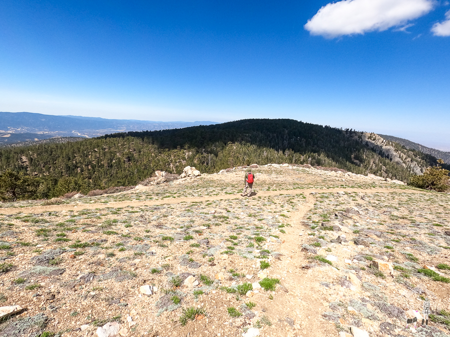
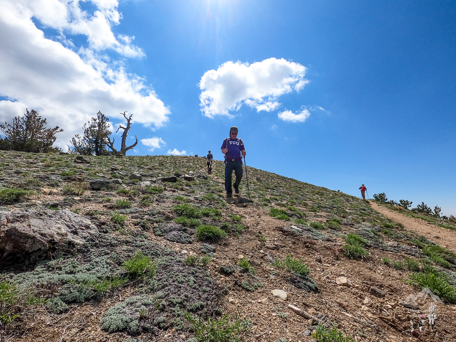

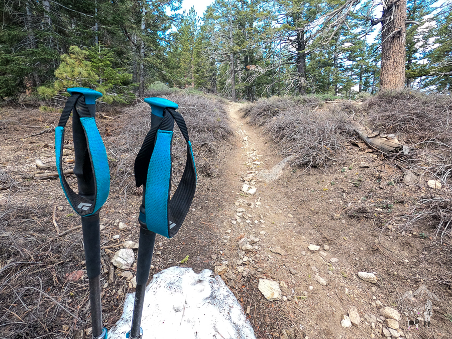
When snow isn’t covering the trail, it’s easy to follow the trail although there are no trail signs except one for Chumash Wildnerness. There aren’t many forks on the road. Stay on the switchbacks.
With snow, though, it was hard to tell where the trail was. I just had to make sure we were heading in the right direction. Since Xena and I’ve done this hike before, I knew there weren’t any drop-offs to worry about.

Shop gear for your backcountry dog now at Ruffwear.com
Since there are no trail signs, you will need to follow your GPS to find the side trail that leads to the summit. They tried to make the side trail stand out, but it’s only obvious if you are looking for it. Knowing the approximate location will help.

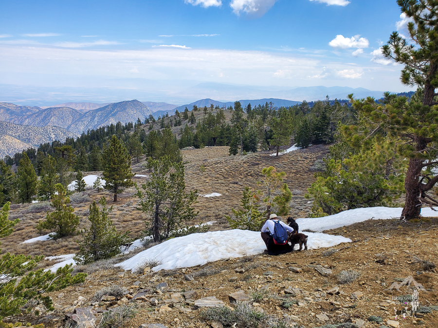
There isn’t much shade at the top, so having the clouds to give us a cover was nice.
Next up, Mt Pinos.
We retraced our steps to Tumamait Trailhead and got back on the fire road. When the trail split, we followed the short uphill on the left to Mt Pinos. Go towards the towers.

Since I posted a separate write-up for Mt Pinos in 2022, I won’t go into details about Mount Pinos. I will leave the link below for anyone who’s interested.
Good To Know:
- Hike Date: 5.21.23
- Distance: 7.3 miles
- Elevation Gain: 1,404 ft.
- Difficulty Level: Moderately Challenging
- Max Altitude: 8,850 ft.
- Fee/Permit: CA Forest Adventure Pass
- Trailhead: Chula Vista Trailhead (34.813392, -119.126497)
- Notable: Fire road, Los Padres National Forest, out and back, high altitude
- Trail guide for Mt Pinos


