
Since I started hiking and taking photos, Arizona became one of my favorite places. I just can’t get enough of its rugged desert landscape and the stunning skies during sunsets!
Two years in a row, I was able to make a road trip to our neighboring state. Last winter, we explored near Phoenix and this winter, we traveled farther north to Sedona and explored the Red Rock Trails.
Sedona, AZ is located 480 miles northeast of Los Angeles, CA.
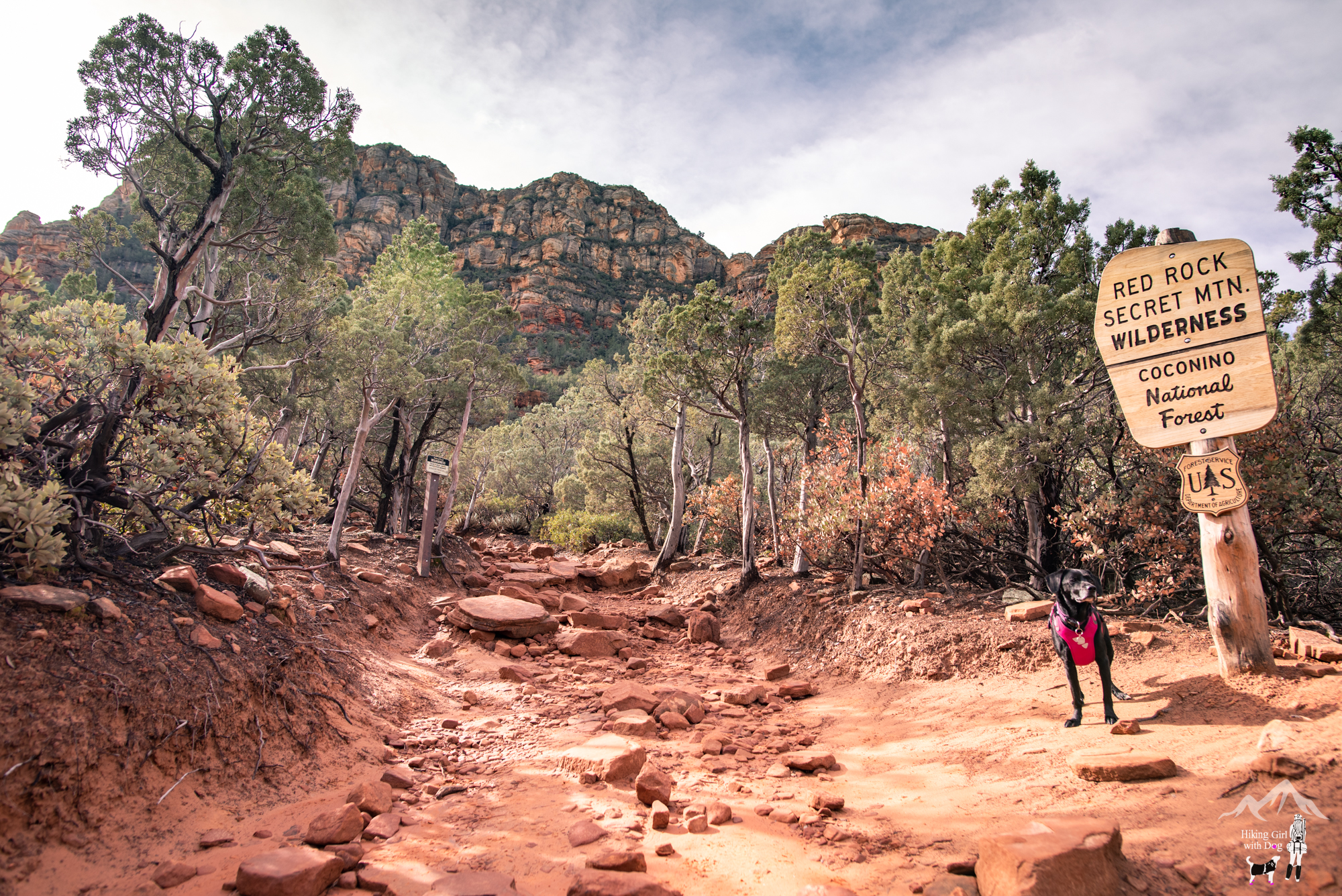
First Hike: Devil’s Bridge
Since there are several ways to begin the hike to Devil’s Bridge and this is a popular hike, expect a crowd especially on weekends. Many of you probably have seen the photos of Devil’s Bridge on social media already.
After parking at Dry Creek Vista parking lot, we began the hike from Vultee Arch Road (Forest Road 152) then finished the loop via Chuckwagon Trail. If I get a chance to hike this again, I will do this as an out and back via Chuckwagon. Since it was my first time, I didn’t want to repeat a trail.
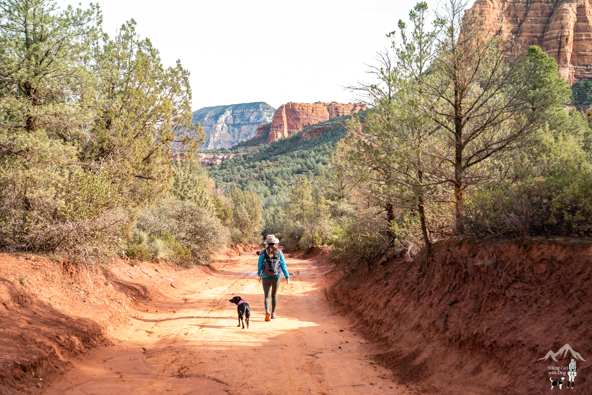
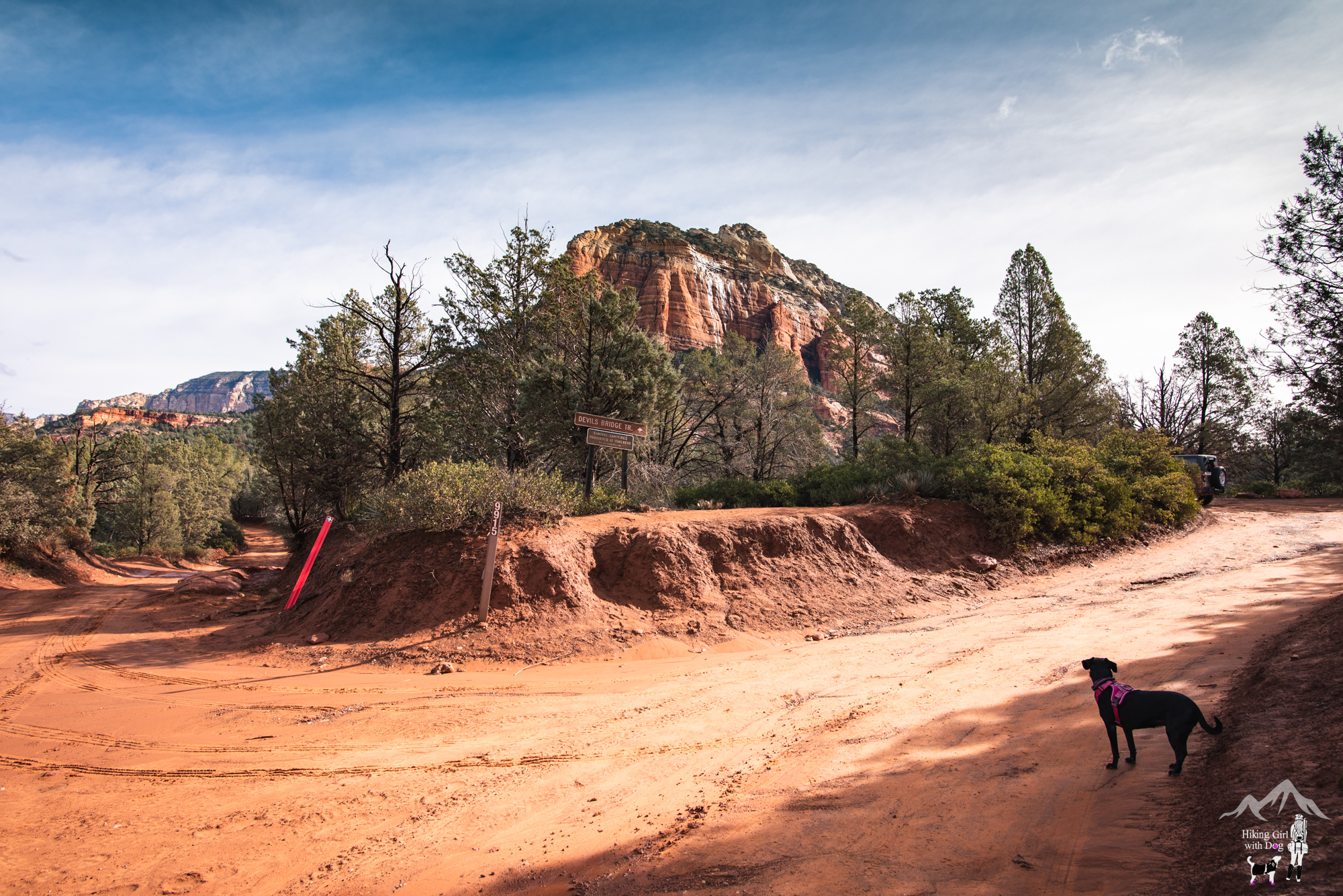
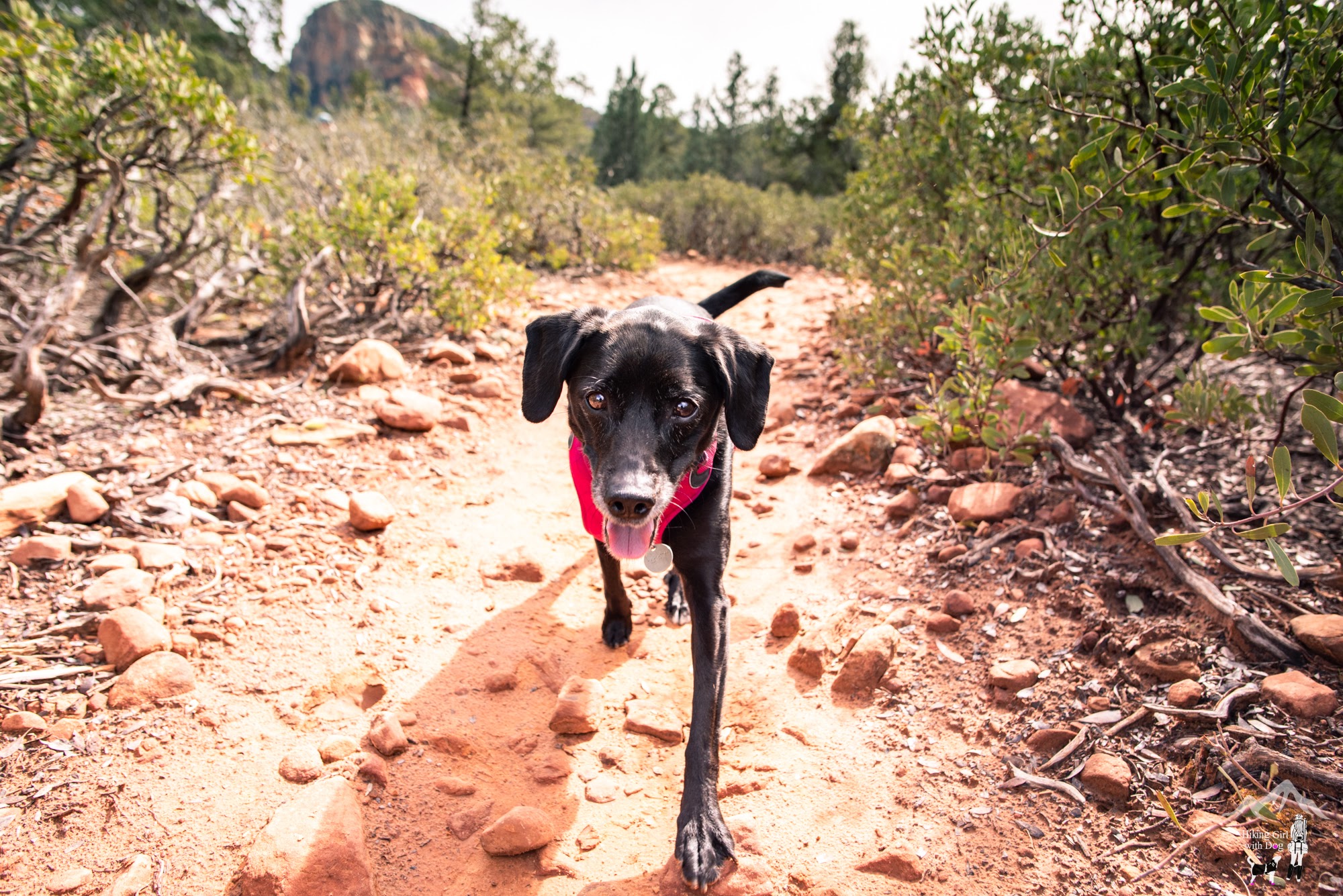
Due to recent rainfall, the fire road was soft and muddy. After about 1.1 miles up the road, we came to this junction. Devil’s Bridge Trailhead and parking lot are right around the corner to your right where Xena’s headed. If you have a high clearance vehicle, you can drive directly to the trailhead.
The Devil’s Bridge Trail is only 0.9 miles one-way.
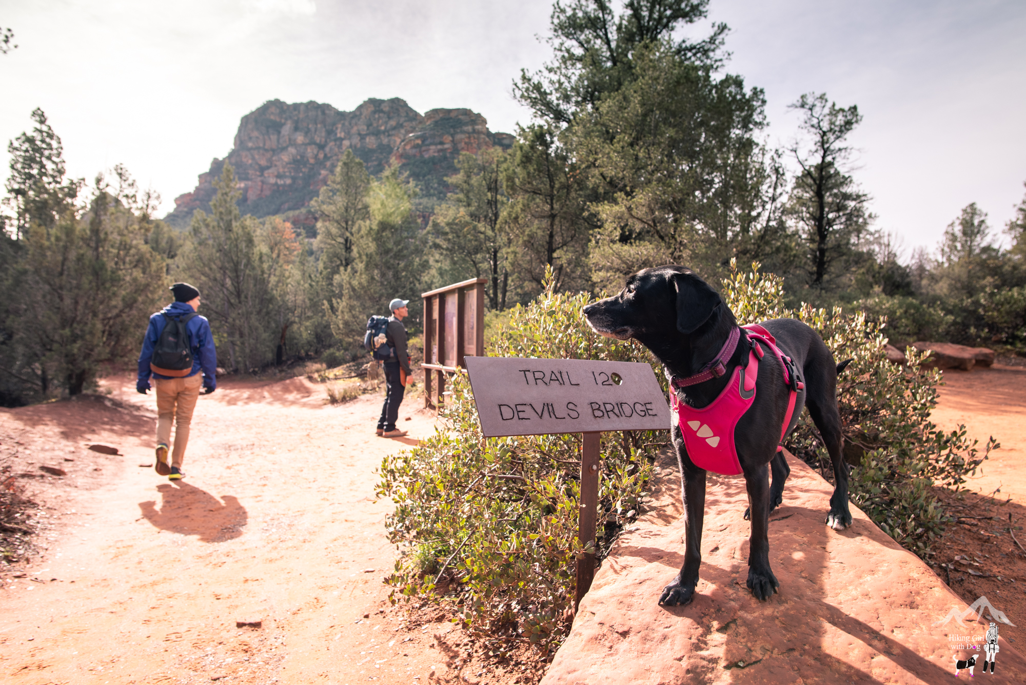
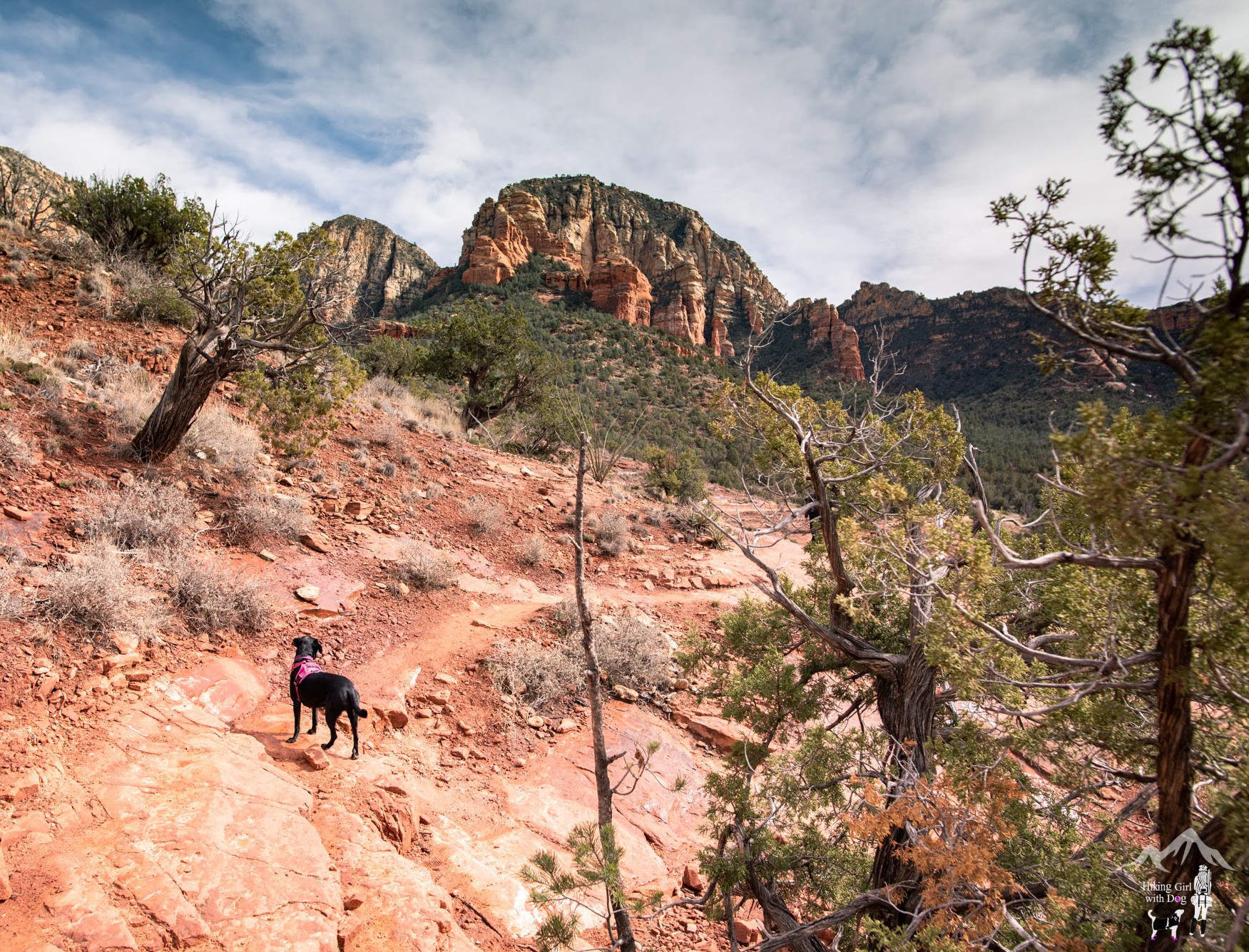
Most part, the trail remained wide until the last part of the hike.
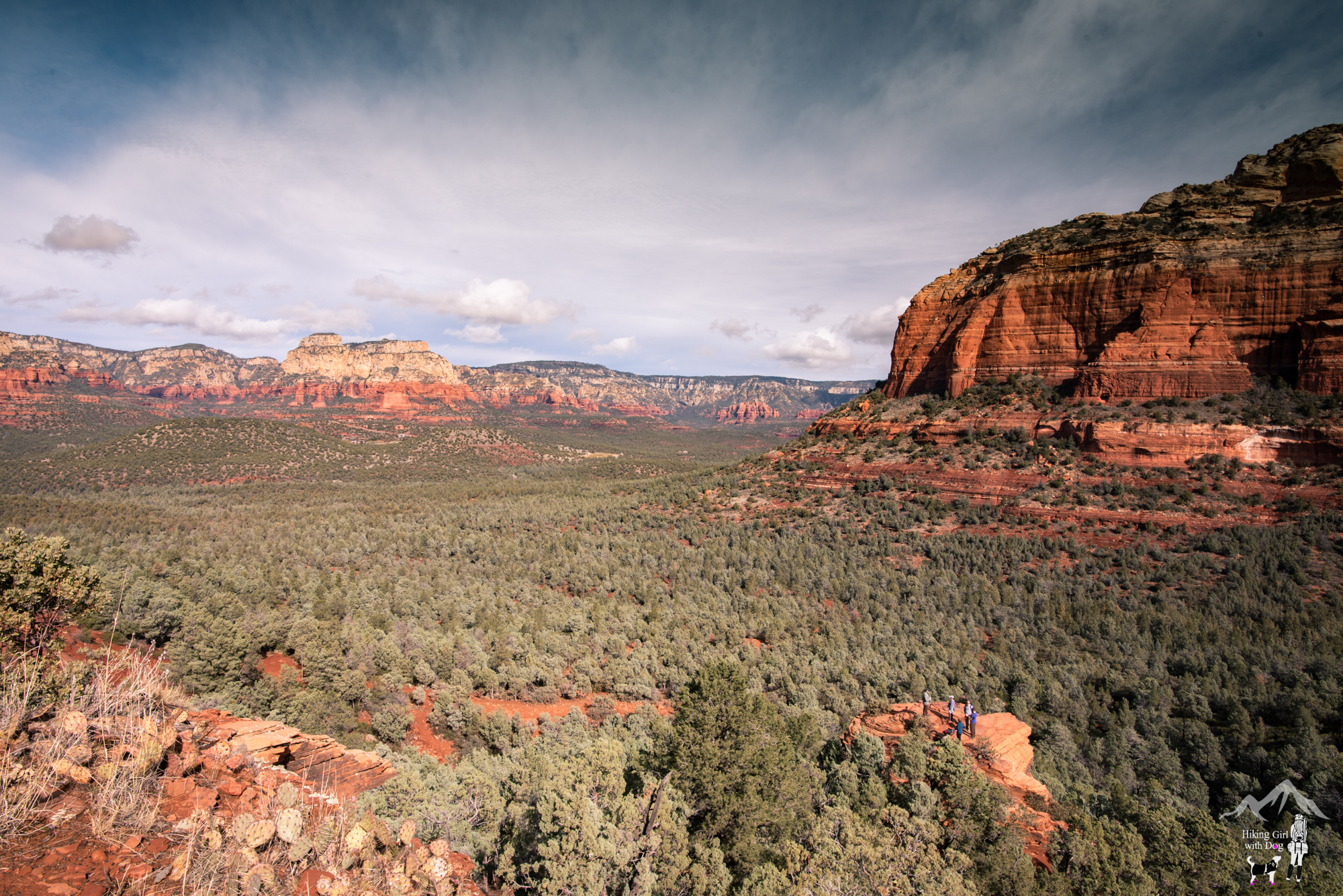
Although some parts are steep and require a bit of rock climbing in the last part of the hike, it’s doable if you are in decent shape.
Luckily, it was still too early in the morning for most people. There was only a handful of people when we got to Devil’s Bridge. So each of us got a chance to walk out to the bridge alone for a photo op in turn.
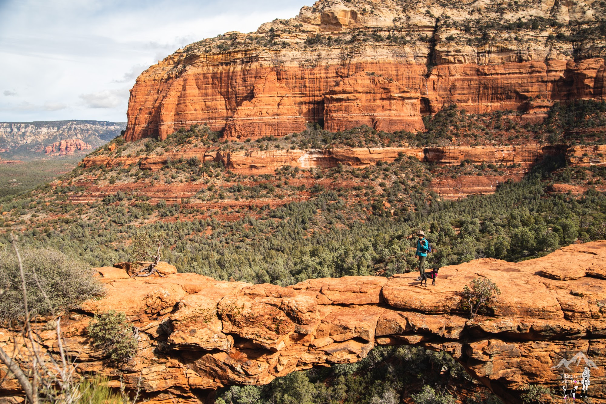
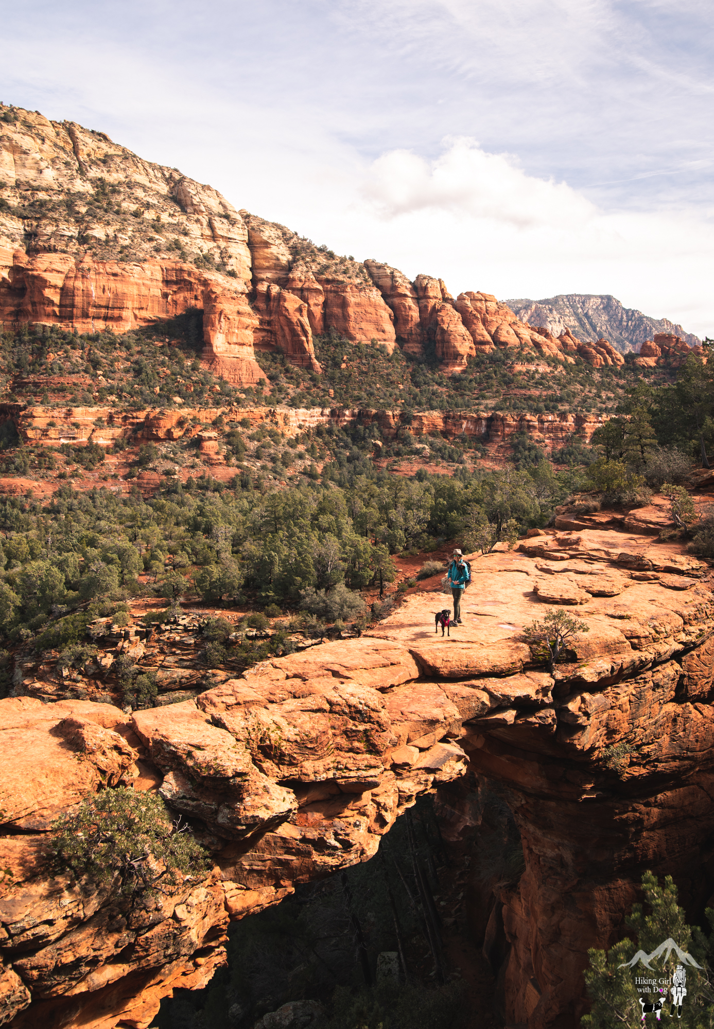
Shortly after, a bunch of folks came up. They weren’t going to have a single photo opportunity for sure. Don’t be surprised to see people talking or listening to music loudly. It’s one of those hikes.
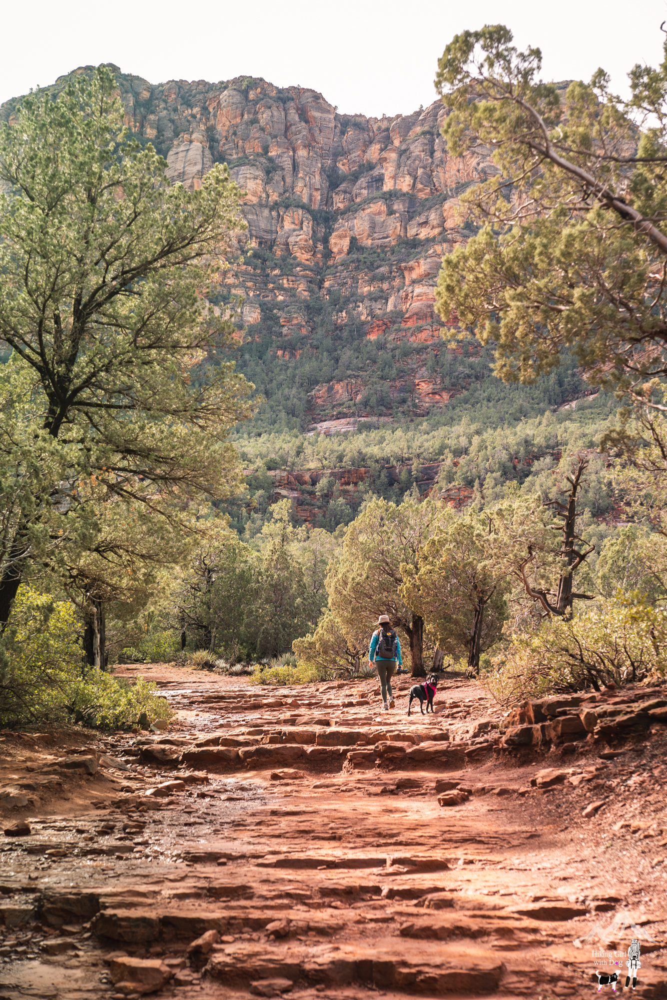
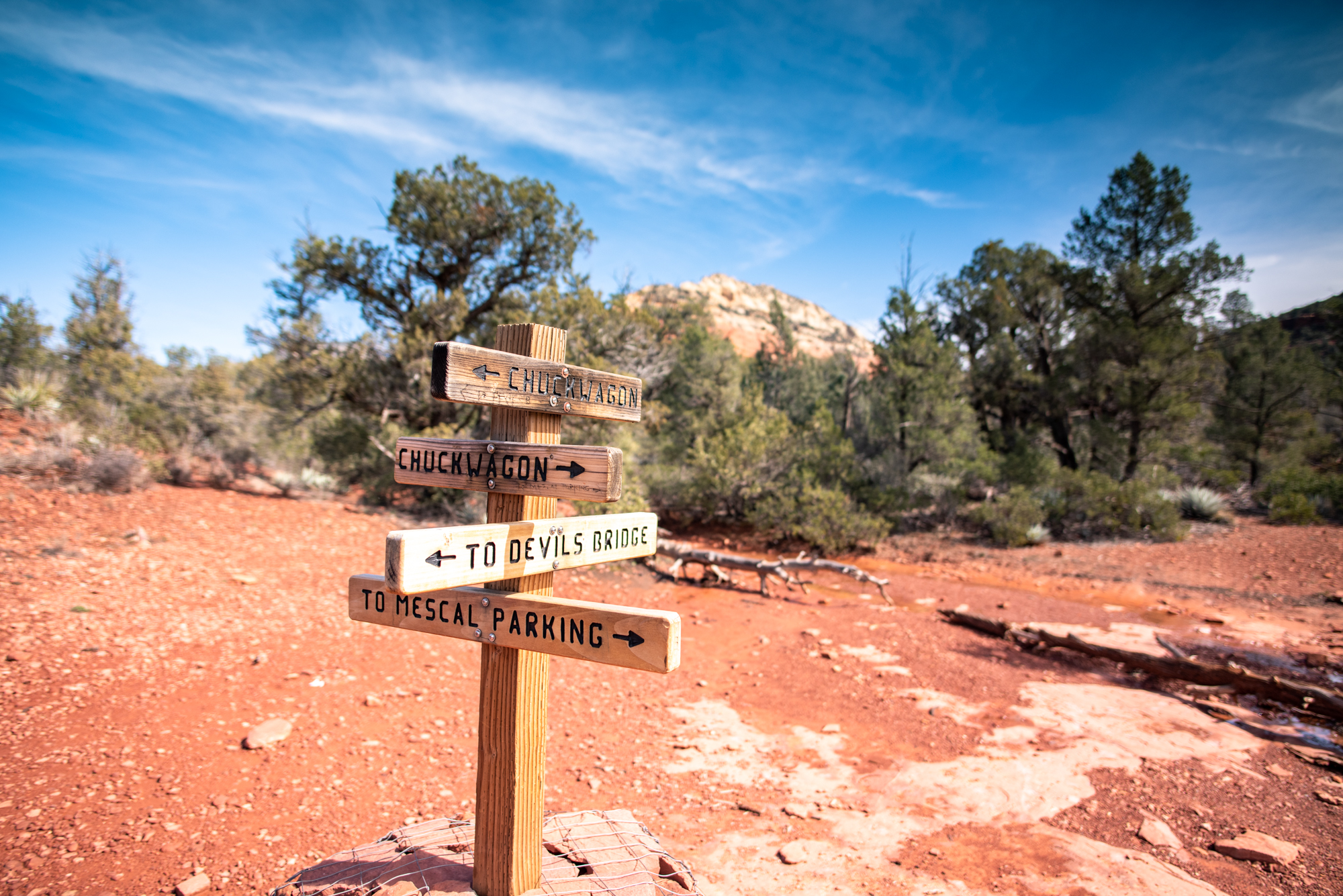
If you want to mix in a little bit of solitude, take Chuckwagon Trail when you return to Vultee Arch.
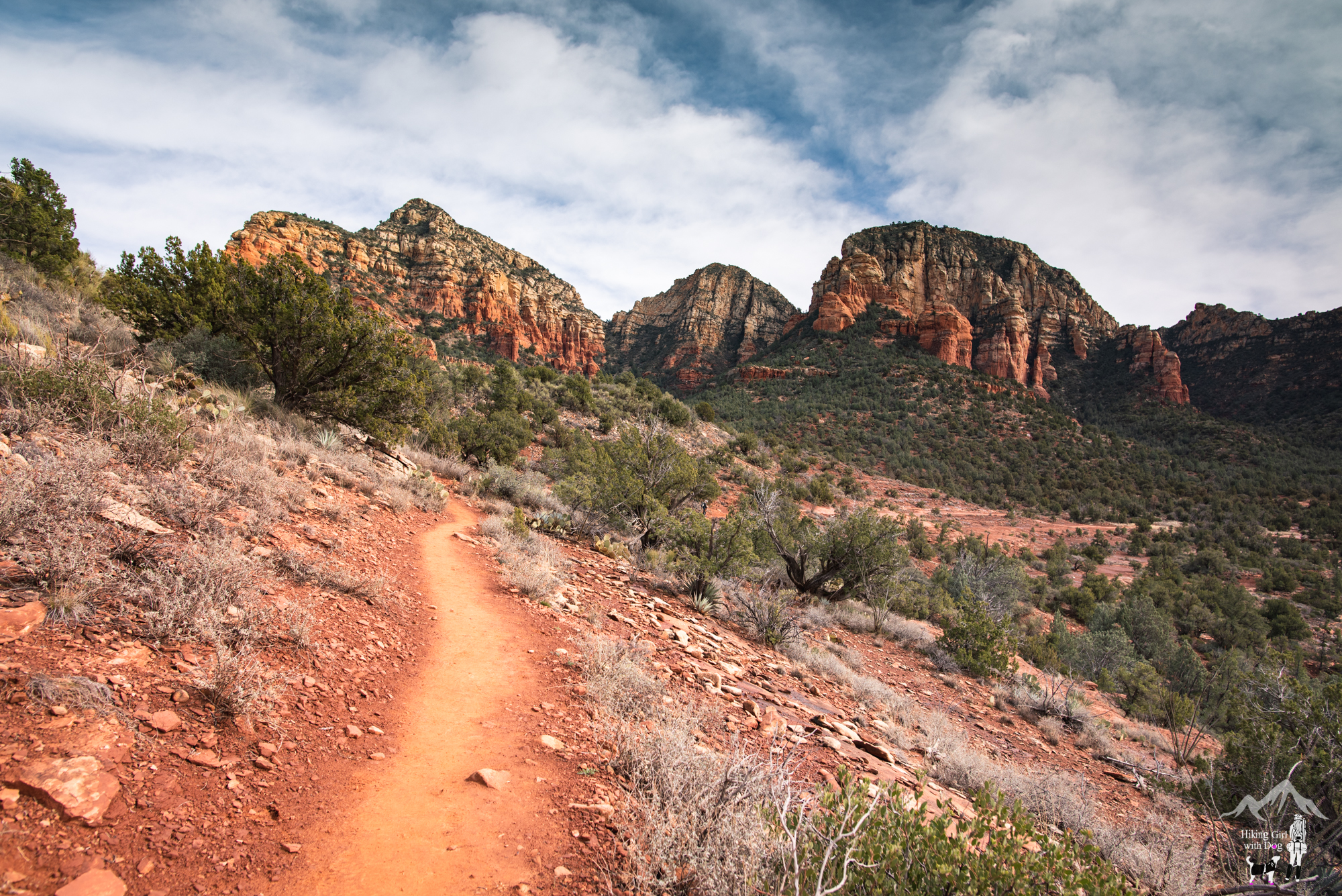
Chuckwagon Trail is well-maintained, easy to follow and less traveled.
And the trail offered a much better scenic view.
Take Chuckwagon Trail to Dry Creek Vista Trailhead parking, where you parked.
Good to Know:
- Hike Date: 2.15.19
- Distance: 5 miles RT
- Elevation Gain: 607 ft
- Maximum Elevation: 4,980 ft
- Difficulty Rating: Moderate
- Parking: Dry Creek Vista Trailhead parking
- Permit/Fee: None
- Vault toilet available at Dry Creek Vista
Get Our Latest Comprehensive Dog-friendly Trail List Here. Enjoy!
Happy Hiking!


We’re headed to the area in July so I definitely want to check this out! I only wish we were bringing our pupper with us.
If July, I am sure your pupper would be happier to stay back in A/C. 😁 Have a great trip!
I love AZ too- it’s so pretty there. Way to go standing on that arch- made me feel shaky just looking at the pic of you 2!
Haha, thanks!! I was proud of myself too! 🙌