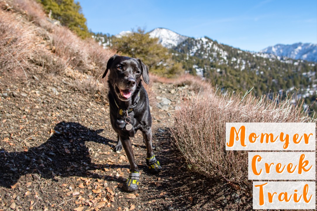
Back in December, we explored a new trail in Forest Falls, CA. This moderately trafficked trail is part of San Bernardino National Forest and Sand to Snow National Monument.
After parking at the Momyer Creek Trailhead, we began the hike downward heading toward the Rattlesnake Creek. You can’t see it in this photo but there was a running creek between the tree lines.
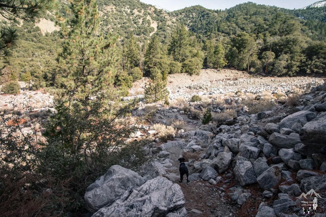
Most people seemed to just go down to the creek and hang out. Although the parking lot was packed, we only ran into two solo hikers on the trail.
There were a tree log and rocks to hop over but Xena never trusts those things so she just walked right through the icy cold creek. This Wilderness Permit sign was waiting for us when we made it to the other side of the stream.
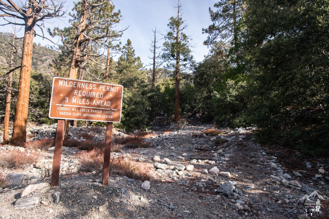
These permit signs are outdated and the Forest Service is working to correct them. You don’t need a permit for day hikes in San Gorgonio Wilderness.
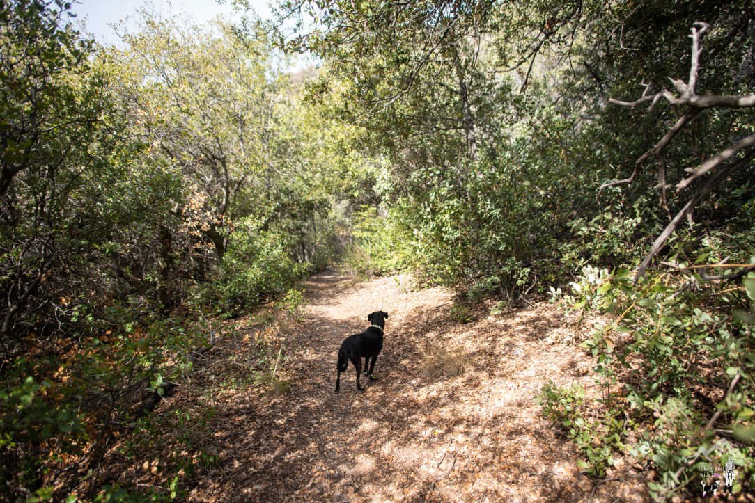
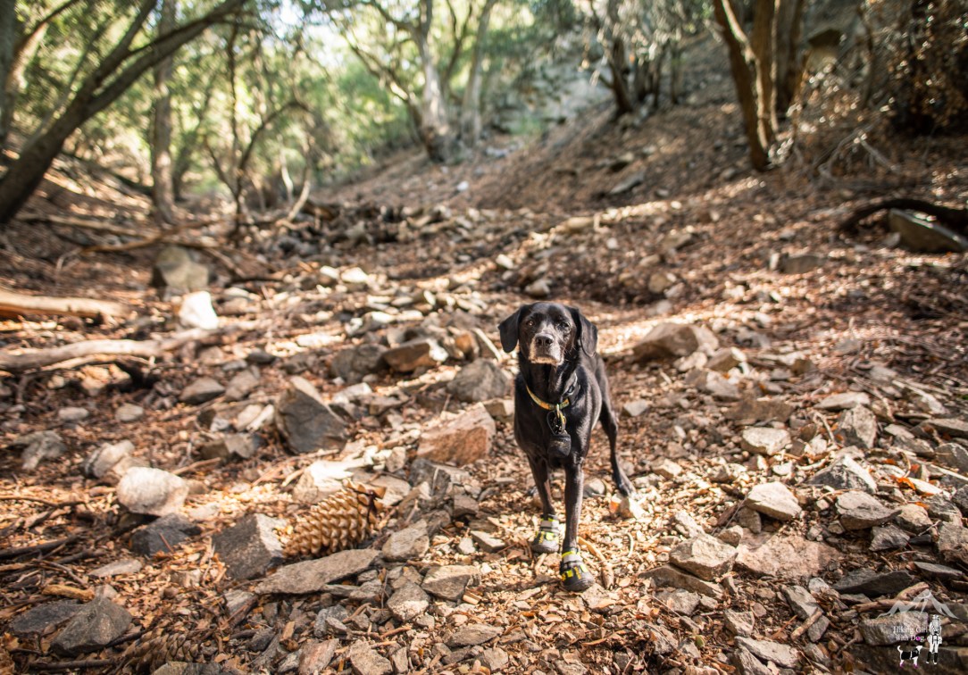
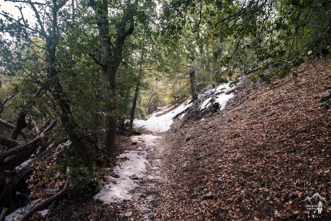
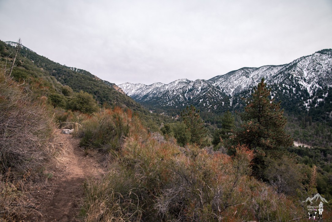
Momyer Creek Trail was peaceful and green. There were plenty of pine and oak trees to provide shades along the trail.
The trail continuously took us upward. Although there wasn’t any steep slope to mention, it was a good uphill workout nonetheless. The trail gained 1,800 feet in 3 miles.

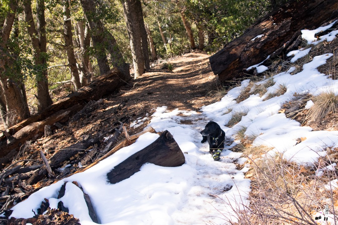
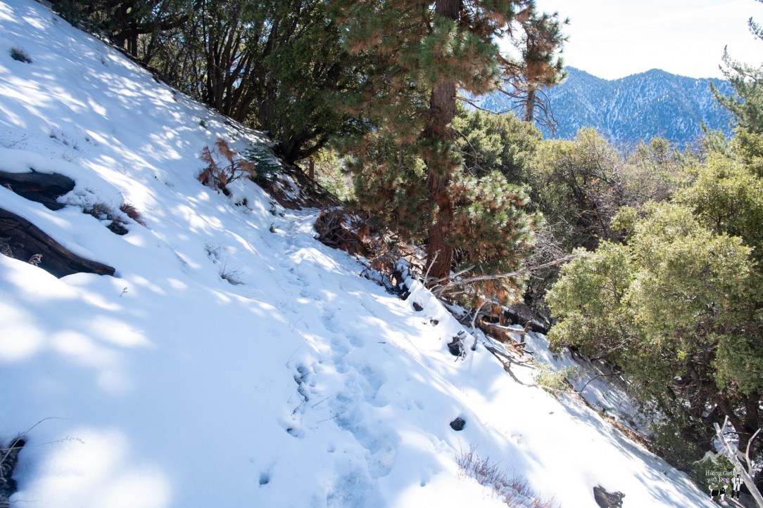
Snow patches began to appear after we reached 6,275 ft of elevation.
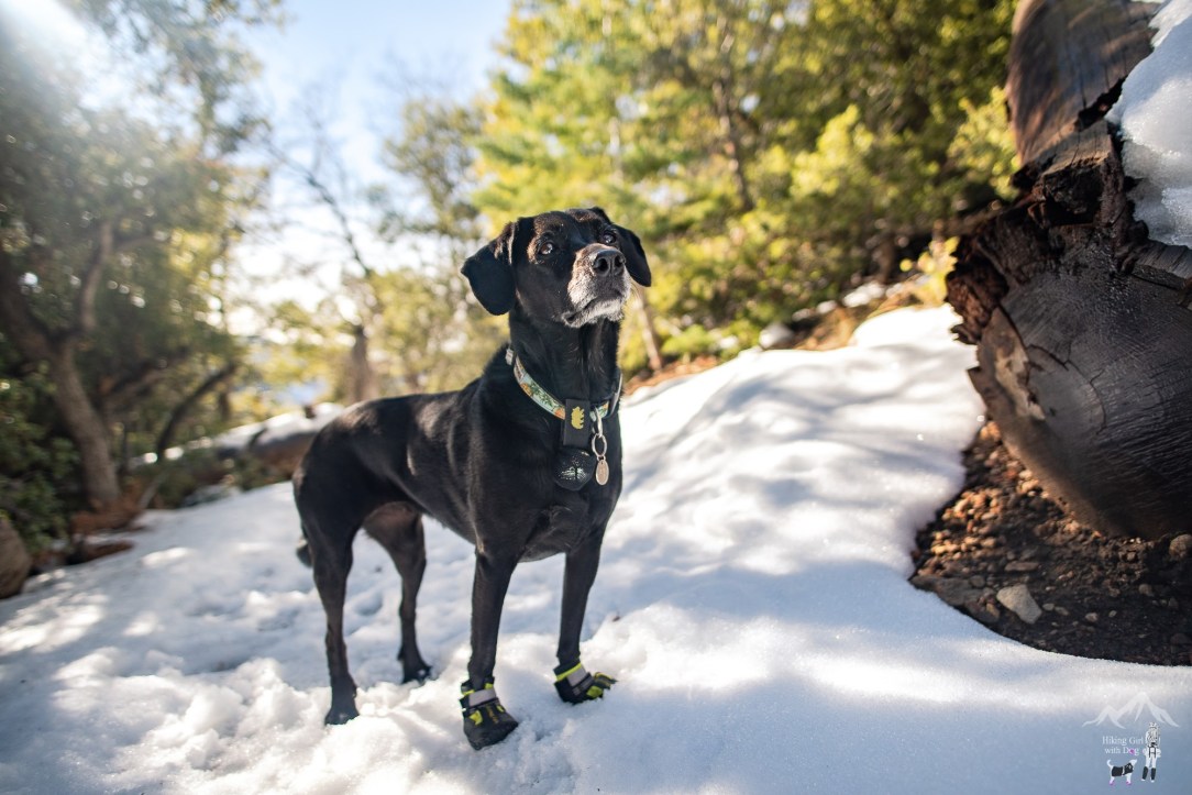
Because Xena hikes quietly and usually slightly behind me, I put a bear bell on her when we hike alone. That way, I don’t have to turn around constantly to make sure she wasn’t snatched by a mountain lion or a big coyote or something. I only have to turn around when the bell stops.
Enjoy up to 50% off Salomon running shoes, hiking boots, and trail running shoes!
So when the bell stopped, I turned and found her this way. Her desperate ‘go on without me’ look made me laugh. I think that pleased her. So after this, she repeated on every snow patch. Lol. After she got a good laugh out of me, she dashed toward me with a satisfied smile each time. Does your dog do stuff on purpose to make you laugh?

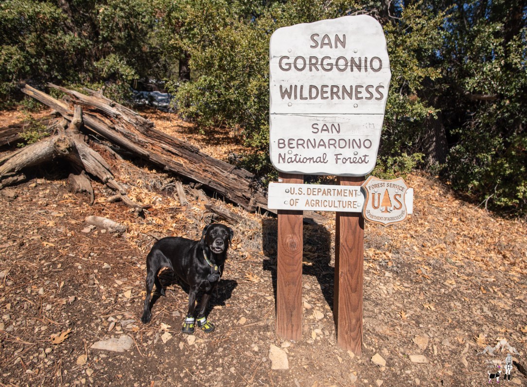
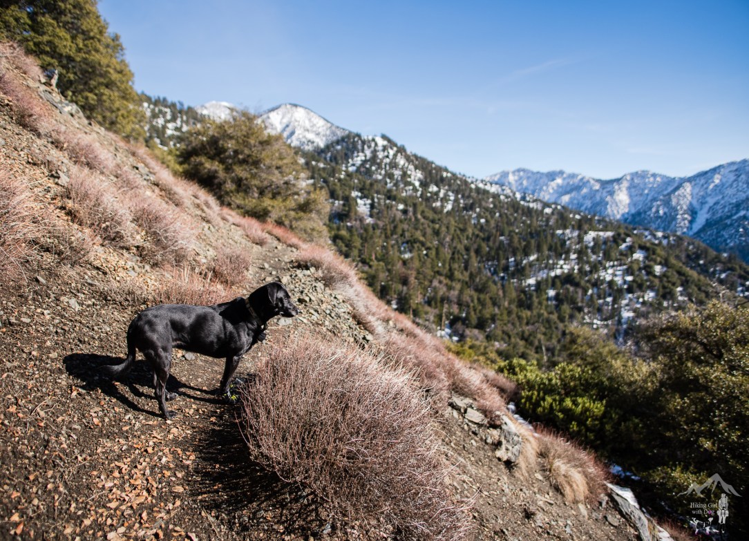
After 3 miles or so, we entered into the San Gorgonio Wilderness. Again, it’s recommended but you don’t need a permit for day hikes. Just let your family or friends know where you are going before leaving home as a safety precaution.
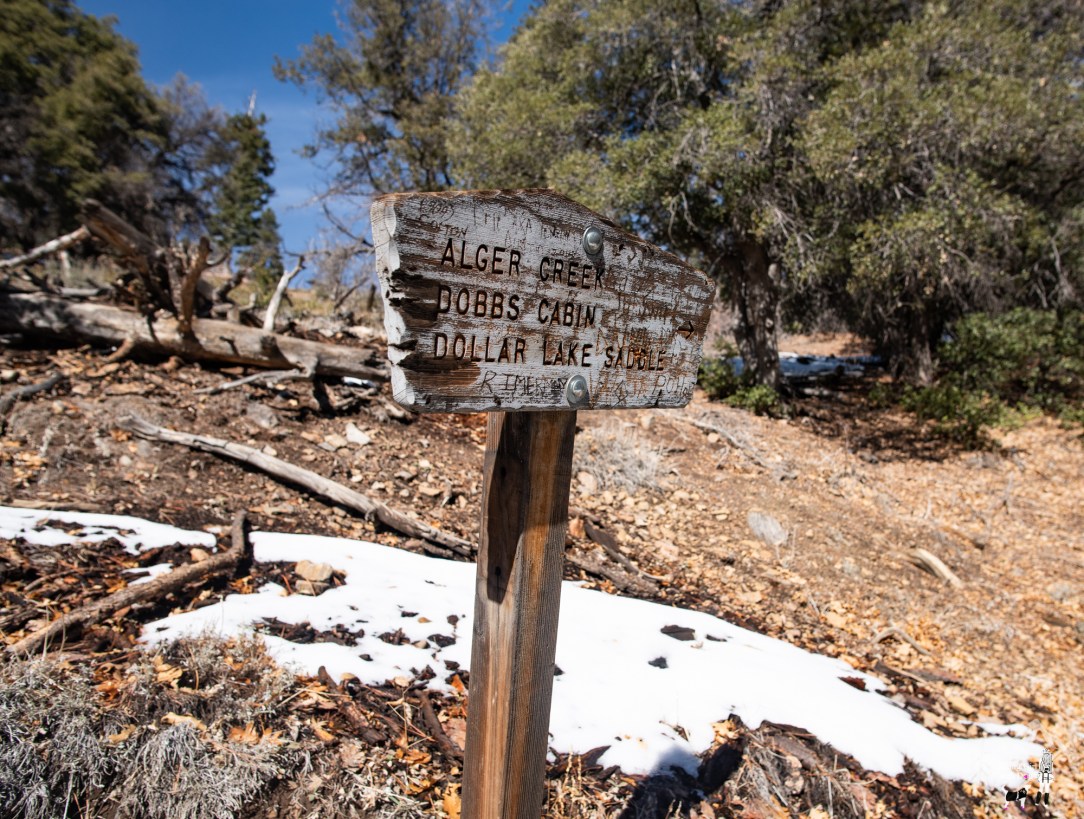
After the Alger Creek Camp sign, the narrow trail was more covered with snow and ice than not.
Book a custom Adventure Dog photo session with Outdoor Dog Photography today!
Then the snowy, icy trail began to go downward. While I stood there contemplated if I was up for hiking the slope back up later, Xena hoped I turned us around right then. When I continued on the downslope, she stopped following and gave me a look. I asked, “You want to go back?” She wagged her tail so we turned around and headed back.
On the way down, gray clouds rolled in and covered the sky hiding the sun. The sun never showed itself again and the temperature dropped noticeably.
It was only around 3 pm when we reached the parking lot but it felt like a lot later in the day.
In the end, I was glad Xena turned us around when she did. We’ll go back in the springtime and hike to Alger Creek Camp. Momyer Creek runs right next to it. It will make a great spot for a lunch break. I am hopeful this place will be cheerful and colorful with wildflowers by then.
Good to Know:
- Hike Date: 12.9.18
- Distance: 6.5 miles RT
- Elevation Gain: 1,880 ft
- Difficulty Level: Challenging
- Trailhead: 34.087204, -116.915030 (‘Momyer Creek Trail 1E06’ in Google Map)
- Permit/Fee:
- National Forest Adventure Pass ($5/daily, $30/annual)
- Overnight camping requires a permit. Contact Mill Creek Ranger Station. There is a quota for each overnight trail camp, so planning in advance is recommended.
- Notable: Partly shaded, no bathroom, creek crossing, moderately trafficked, backpacking w/ overnight permit
Get Our Latest Comprehensive Dog-friendly Trail List Here. Enjoy!
Happy Hiking!


I wish I had a hike like that nearby. But we have 6″-12″ of snow coming in over the next day or so… followed by cold temps and windy chill-factors. Expecting double digit, negative daily highs & lows, plus high winds-producing wind-chill temps of -20 to -30 F in metro area with much higher wind chill temps up north and along SHT (Superior Hiking Trail). Not good weather for walking dogs… frostbite in minutes with high wind-chills. Xena’s lucky not having to deal with this weather. Once the high winds dissipate, we’ll be out snowshoeing again.. gotta love the winter to live in MN. ;-)
I can’t even imagine what minus temp w/ wind chill feels like on my face. I grew up in the east coast but never liked the cold weather. When it goes down in to the 40’s here in SoCal, I am bundled up! Xena too!! She is a SoCal dog through and through. ☀😎 Stay warm, Mike!
I thought I read that you put a “bear belly” on her & so I spent the next few lines wondering what on earth that was 😂. Then I went back & read it properly.
Hahaha!! 😂
Looks like you had a great hike! I miss seeing anything green here in the Northeast…I just have to be patient…it will come. : )
Hang in there for a few more months! Meanwhile, I will try to post as much green for you. We got an usual amount of rain this winter so far so the mountains are so much greener than usual! 🌲🌲
Beautiful! I’ll add it to my ever-growing list of San Bernardino Forest trails to hike. Love your blog! Thanks!
Thanks Bob!! Please share if you have any recommendations for SB National Forest! Would love to explore more there. It’s so pretty!
Awww…Xena likes the snew!
A quick way to cool you down on the trail. :)
:-D