
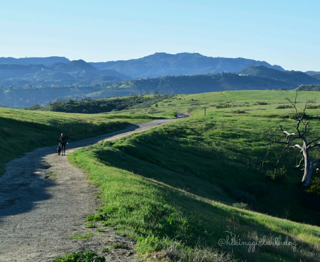
This is our new favorite springtime hike! When we first time visited in January, the entire place was brown, as you can see in the photo below. We parked on the street outside of the park and walked under the Victory Trailhead sign. Around 7:30 am, only a few cars were on the street. The neighborhood was still asleep.

This place has many little use trails and most of them don’t show up on your phone’s GPS, so you can get confused. I did a clockwise loop and the total distance was 5.3 miles. I will guide you through it. Quickly after the trailhead, the trail splits. Stay on the current path and go straight. About 0.2 miles in, the trail splits again. Make a sharp left turn. You should be able to spot a sign for “Joe Bahar Trail”. You will pass by a white mansion on your left and the view of West Hills.

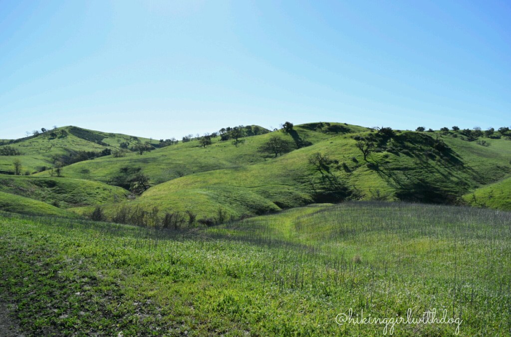
You are on a short (~0.25 miles) uphill, and it will take you up to the open space. Now let me show you the pictures from our hike in February. What a difference a month makes! I couldn’t believe how green it was! It was so beautiful!! 💚
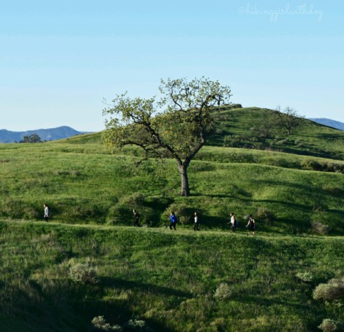
We spotted a group who was just finishing a Tai Chi session under a tree, so we watched them for a little bit.
You will see a lot of use trails. Stay on the main trail unless you purposely want to go off and explore. I don’t see how you can get lost here. But if you want to do this in a loop, follow my guide.
At 1.2 miles, the trail splits. Go straight. You should see a sign for “Mary Wiesbrock Loop Trail”. I don’t remember any side trails from here until Crummer Ranch Rd. There are old ranch items on your left. Turn right. This is my favorite section. Less traveled and mostly flat. The area was covered with dewy grass. A perfect place for zoomies and rolling around. What a lovely place! I felt so free!


At about 3 miles, turn right onto E Las Virgenes Canyon Trail.
There is no sign, but it will show up on GPS. It might say “Road” instead of “Trail”. I’ve seen both. Also, you will see more trail runners, bikers, hikers, and dogs. Stay on this trail, and it will take you back to the trailhead.

Good to Know:
- Hike Date: 2.21.16
- Distance: 5.3 miles RT
- Elevation Gain: 476 ft.
- Difficulty Rating: Moderate
- Trailhead: 34.185503, -118.668500 (copy & paste to your GPS app)
- A porta-potty available at the trailhead
Get Our Latest Comprehensive Dog-friendly Trail List Here. Enjoy!
Happy Hiking!


How beautifully green it all is! Amazing how it’s transformed with rain. How lovely that you walked with your sister again. That mansion looks pretty impressive! I think I still prefer nature’s architecture though. Great pics as usual. Have a happy weekend. :-)
Thanks so much for your comment, Jane! I prefer nature’s architecture too but the size of that mansion! It is crazy! :) The place was so lovely! I could hear the Sound of Music song in my head. Hope you are having a wonderful weekend.
I hiked this route this morning – the hills are golden, punctuated by green black coast live oaks and lacier looking valley oaks (no acorns this year). Nice to see pics of the spring to remind in August of what’s just around the corner.
Yes, it’s a good reminder. :) Hope you get to hike it in the spring time. It’s soooo green!! Thank you for the comment, Mary!