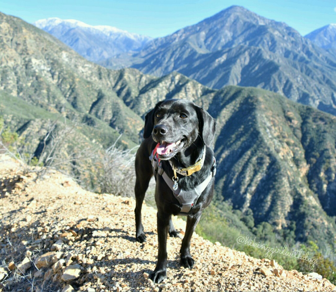
There are two trailheads off Glendora Ridge Road for this hike. This hike begins from the second trailhead (“Sunset Peak Trailhead #2” in Google Map). We started around 10:15 AM which is much later than our usual start time. I miscalculated how much cooler it would be up there with higher elevation (starts at 4,361 ft.)
Tag: adventure
With a mountain name like that, we had to go! The trailhead is off Mt Baldy Road in Claremont, CA where it meets Palmer Evey Mtwy. There is no official sign for the trailhead but there are dirt strips on both sides of the road for parking so it wasn’t hard to find. GPS information can
Contentment: A state of happiness and satisfaction It is addicting once you experience it but unlike any other addictions, this I support and encourage. Find your source of real (that stays with you) happiness and satisfaction and nurture it. I am sure it’s not surprising to my readers that exploring outdoors and capturing life’s moments with photos
The trailhead is located at the end of Bonsall Dr in Malibu. Easy enough. As usual, I had to use the porta-potty once I got there. It’s the coffee, I know, but I must have my coffee in the morning. I must. I picked up a map at the trailhead – that was nice – and
The trailhead is right off La Tuna Canyon Road in La Crescenta, CA. There is a small dirt strip on the side with a picnic table. Park there and walk to the Santa Monica Mountains Conservancy Parkland trailhead sign. There is a use trail behind the parking area but ignore it. The single-track quickly takes
As you know from my last week’s post, I went hiking in Joshua Tree National Park in January. Sadly, dogs are not allowed on hiking trails so my sister and I went to the park ourselves to hike Ryan Mountain – the second highest point in Joshua Tree – and had to leave Xena at
Me: Why are you hiding? Z: I am going to surprise that hiker. Me: Don’t do it. Z: Why not? Me: Because. I will get in trouble. Z: 😈 Me: Do you want your leash? Z: Hmm….you win….this time. XOXO


