
When the brutal summer heat was finally coming to an end, the wildfires took over the mountains in Southern California last year. The Bobcat Fire burned for months in the Angeles National Forest. It started on September 6, 2020, and was finally contained by December 18. To say I was disappointed and felt sad would be an understatement.
Most of our favorite local mountains have been inaccessible for a long time. Keeping social distance and leaving home only to get essentials did not bother me but not being able to go to the mountains freely did.
Then around Thanksgiving, I learned about this little trail while talking to a neighbor. I was excited to come across a trail I haven’t heard of yet. The expectation was high, yet the hike did not disappoint me. I hope you enjoy the photos.
This hike is in the ANF near Sun Valley. This write-up takes you to the top of the fall. There will be another post to take you to the bottom of the waterfall.
We parked in a turnout on Big Tujunga Canyon Rd near the trailhead then began the hike on Gold Canyon Truck Trail (Forest Rte 3N29).
Forest Rte 3N29 splits after about 0.2 miles. Take the trail on your right. Soon, you will come to a few houses along the trail. Follow the trail sign to stay on the trail and avoid trespassing unintentionally.
The official trailhead is at the 0.4-mile marker. At around the 0.75-mile marker, the trail narrows and changes to a singletrack trail.
That’s definitely a good reason to smile.

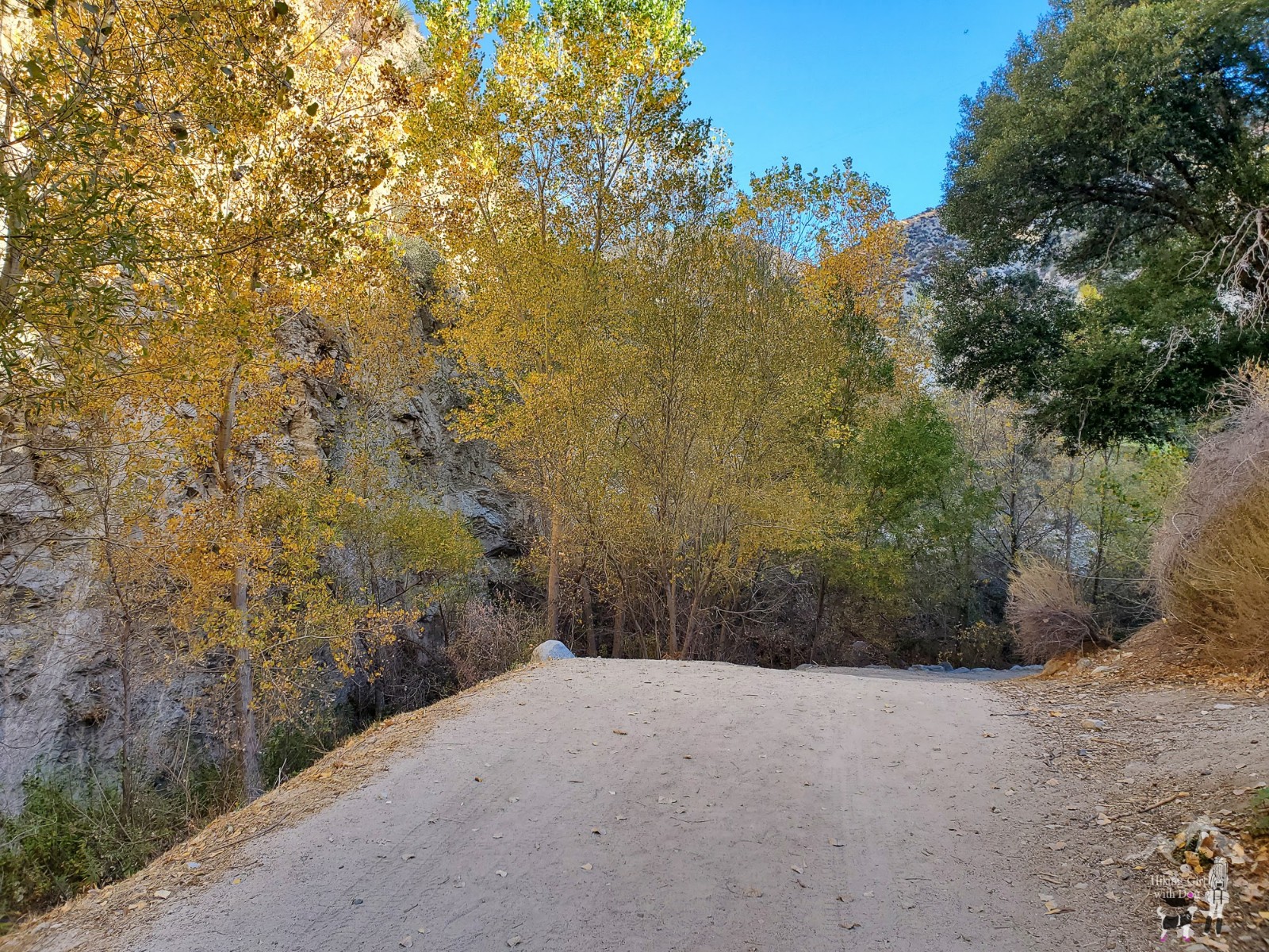
In the first section of the hike, the incline is gradual, but the trail isn’t boring. It had a little bit of everything. I found it fun and pretty with fall/winter foliage.

After 1.5 miles, you will reach here. You can’t miss it. With a big tree providing shade, this space is roomy and inviting. It’s a good place to hydrate and get ready for the hill workout.

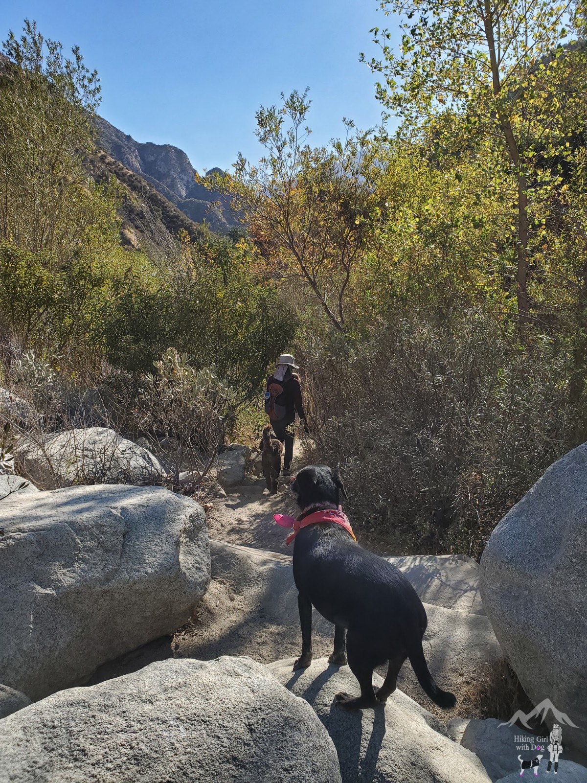
Love having the trail to ourselves

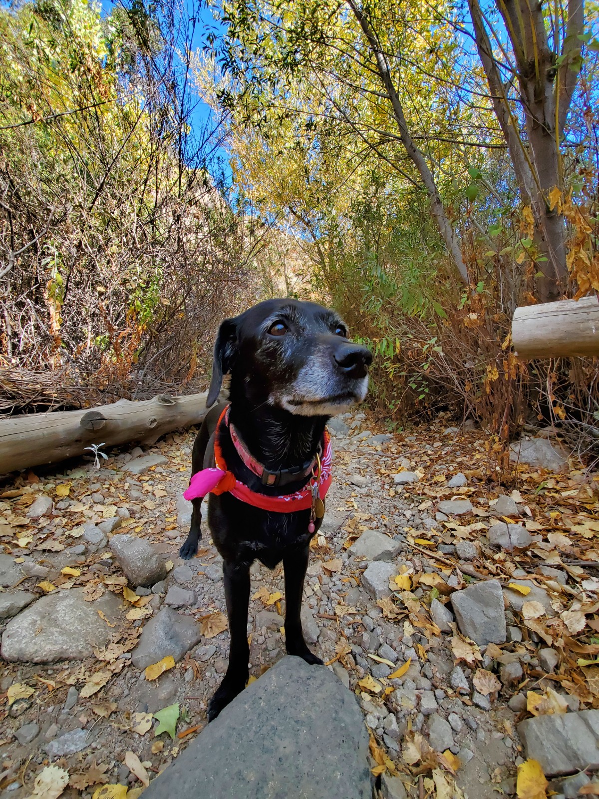
She has the best smile! Ever.
After about 2.1 miles, take the small trail on your right and go down to the Trail Canyon Falls. There is no sign and the trail is easy to miss, so look out for it.
When the waterfall is flowing, you can follow the sound down to the falls, but since we haven’t gotten rain much this winter, most likely, it will be dry when you go. It will be helpful to track your hike using a fitness GPS app like AllTrails, MapMyHike, etc.
Shop Deal of the Day at REI Outlet!
This short steep slope will take you down to the top of the Trail Canyon Falls. There is a rope tied to a tree to help you get down to the bottom.

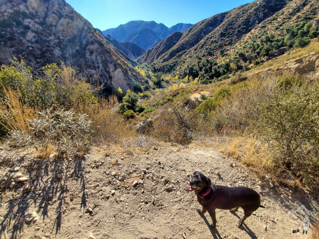
Top of the waterfall. That’s me sitting close to the edge checking down below.


There are a lot of reasons to enjoy climbing a mountain but my favorite part of climbing a mountain is the view I get to enjoy on the way down with my favorite hiking buddy. You earned it. Enjoy!

Good to Know:
- Hike Date: 12.15.20
- Distance: 4.8 miles RT
- Elevation Gain: 860 ft.
- Difficulty Level: Moderate
- Max Elevation: 2,465 ft.
- Fee/Permit: None
- Trailhead/Parking: 34.303715, -118.258211
- Forest, mostly exposed, seasonal waterfall, no bathroom


Looks like a VERY happy dog!
Very happy, indeed. 😃