
Due to unexpected road closure on Hwy 2, we ended up doing this hike on Labor Day. It worked out better in the end because it was way hotter than I anticipated. This short hike was perfect for that morning. Either I am an ultimate optimist or this is the truth but it always seems to work out for better when we run into detours. In life, too.
We did this hike two years ago in December. I forgot how fun this short hike was. For a complete trail write-up, please read the previous article here.
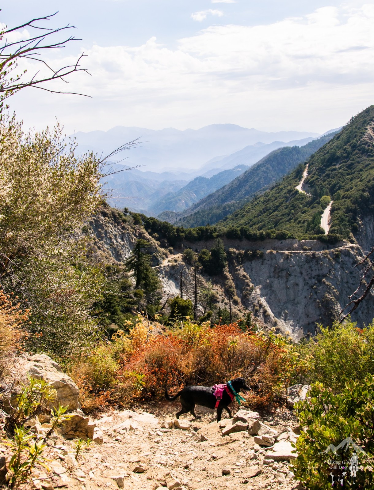
In this post, I will share the new photos from this time. Although the images were taken in different seasons, between the two posts, you can get a good idea about the trail condition. It’s not like we get blizzards in winter in Southern California. 😊
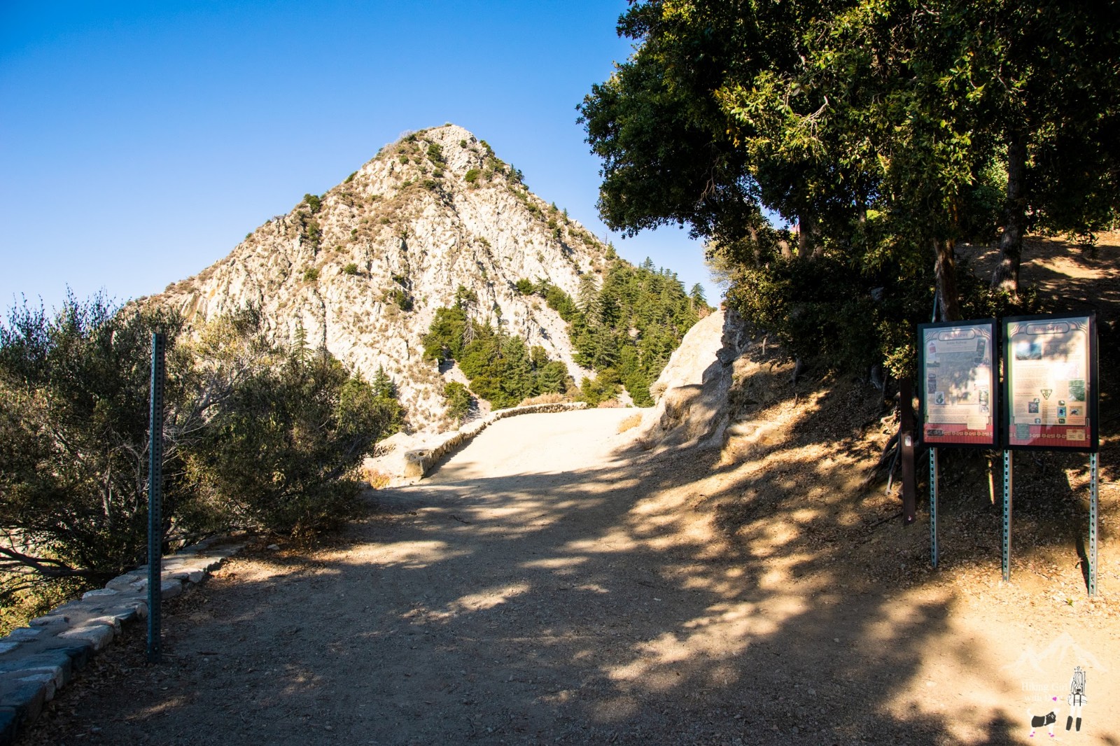
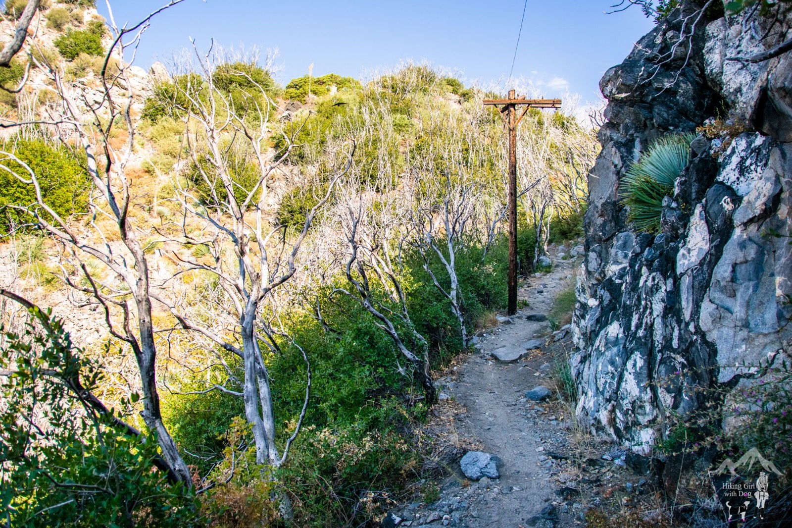
After the Mueller Tunnel, the uphill begins, but you are still on Mt Lowe Rd.

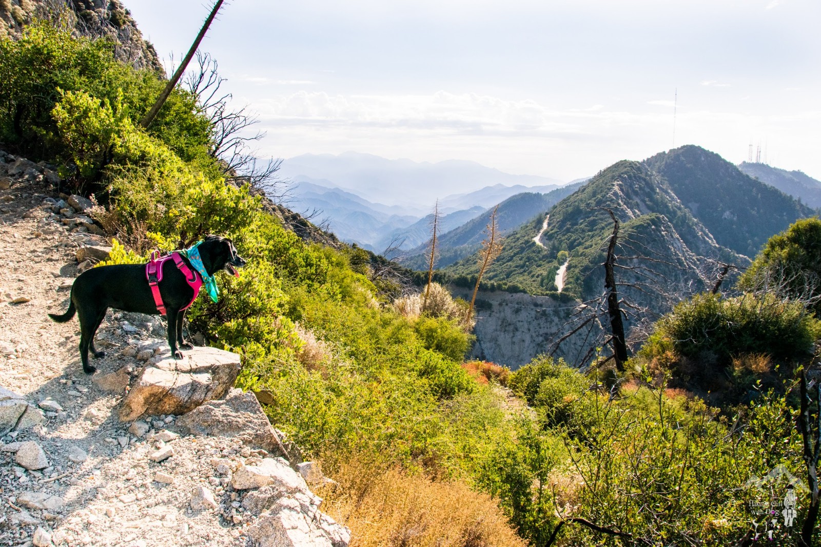
The San Gabriel Peak trail is more challenging, but it rewards you with beautiful views of the front ranges of the San Gabriel Mountains. If you like switchbacks, you will like it even more!

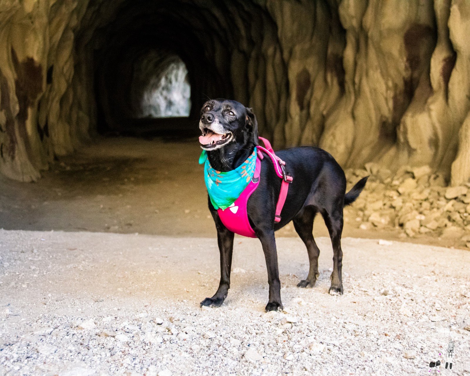
It must’ve been a good workout. Xena had sweat through her harness. Just kidding. You knew dogs don’t sweat, right? That’s why it’s imperative to keep them from overheating. When it’s too warm, I keep her bandana wet while hiking and also pour water on her head and neck.

When you are ready, go back the way you came. The views are always better on a downhill.

Good to Know:
- Hike Date: 9.2.19
- For a detailed hiking guide, please click here for my previous post


