There are many wonderful hiking options at Mount Badly. This write-up will guide you to hike to Stoddard Peak in Mount Baldy Wilderness Preserve.
It starts out in the shade but soon you will be exposed and it will remain that way most of the hike. For this, the best time to do this hike with your dog is spring and fall.
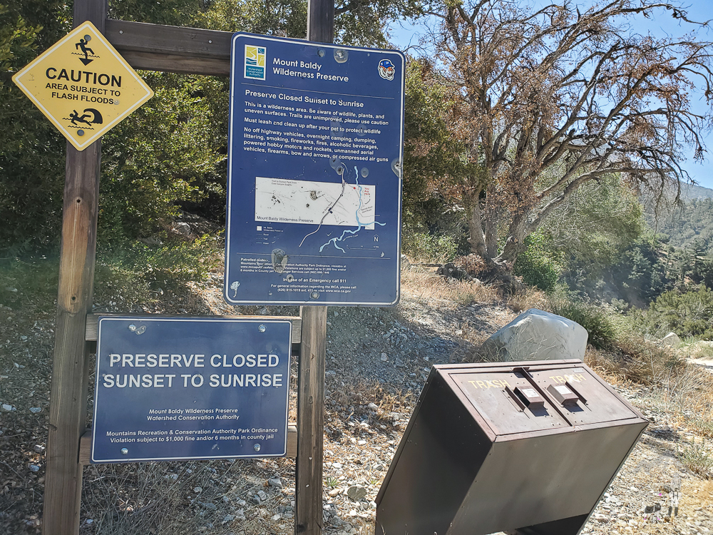
There are two parking areas near the trailhead. The trailhead coordinates below will take you to the first parking area. It’s small and gets full before 7:30 AM.
The second area is larger and closer to the trailhead but it requires off-roading a bit. You don’t need a vehicle with high clearance, but that would be ideal. One of my clients parked his Honda there. I thought he was brave.
I will share the photos from two separate hikes – 6.18.22 and 4.16.23 – but the write-up is based on our hike on 6.18.22.
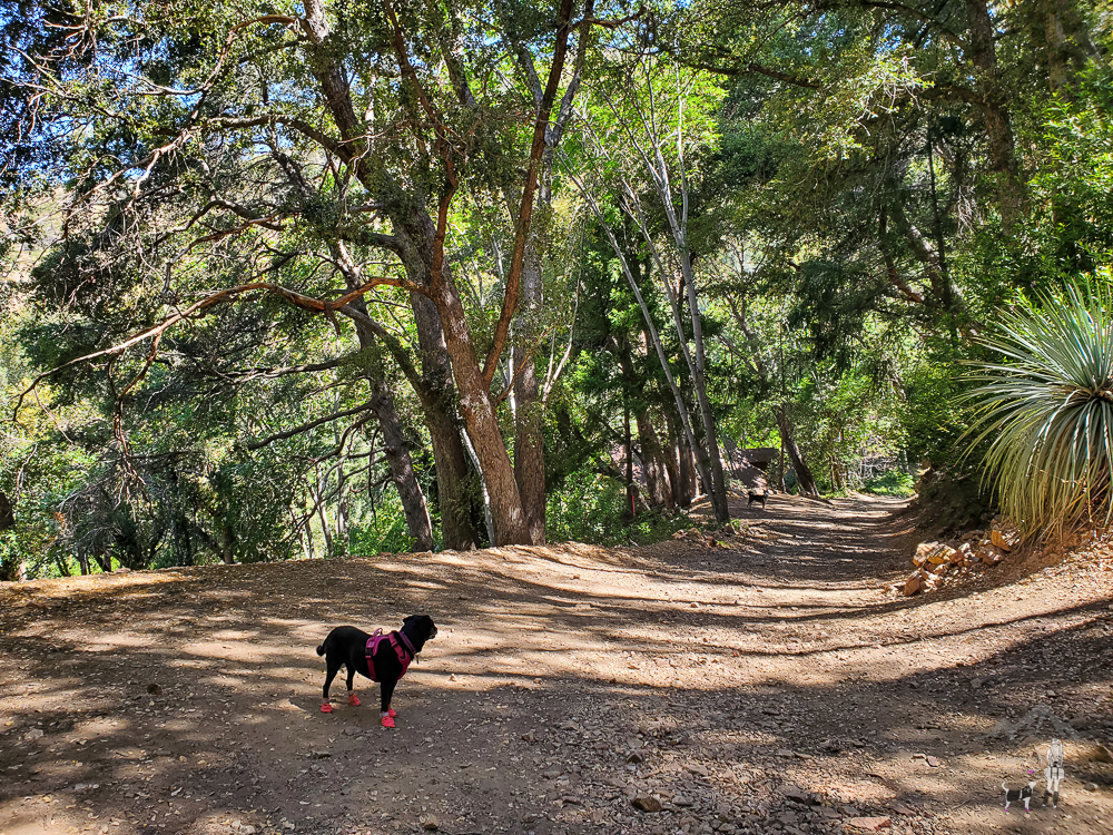
The hike begins on a fire road that leads you through a residential area.

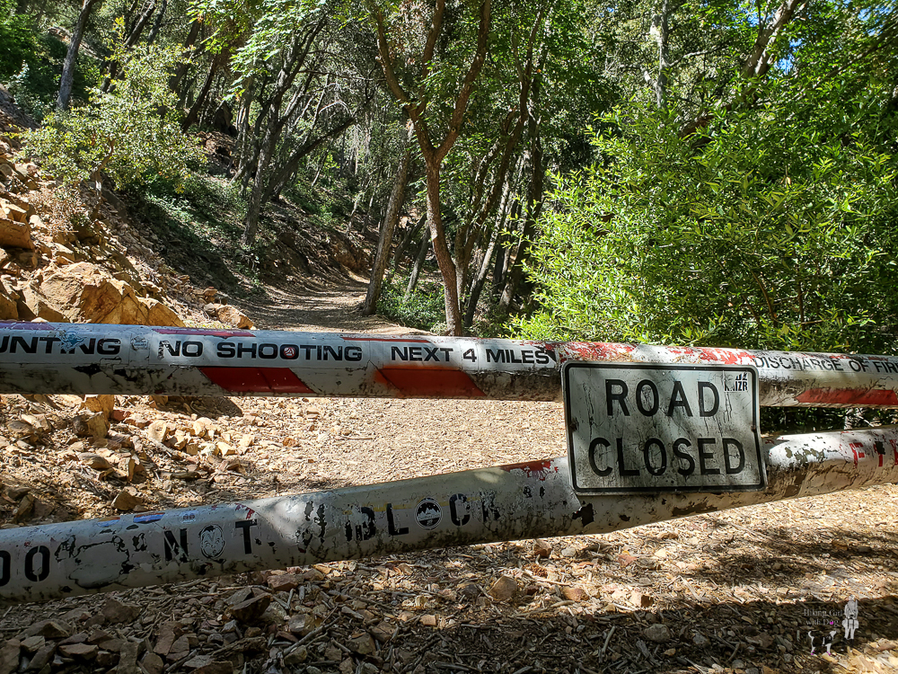
After 0.75 miles, you will reach this gate. Go around it.
After passing the gate, we realized we were being followed by a huskie. I called her Maya because she looked like Maya. Xena and Maya exchanged a look and a message.
Soon, Maya caught up to us with a group. So we thought that was her pack. Nope. Every time we saw her, she was with a new group.
She was hiking back and forth with a new group each time. We then realized she was escorting groups. Later, we met a resident who confirmed she escorted groups to the bottom of Stoddard Peak all day. Sometimes to the top. She only escorted the groups without a dog, though, I noticed.
After 2.5 miles, the fire road continued to the left, and we took the small trail to the right, where Xena is facing in the photo below, and began climbing. There is no signage. You will have to track your hike in case there is no one around and you can’t follow other hikers.
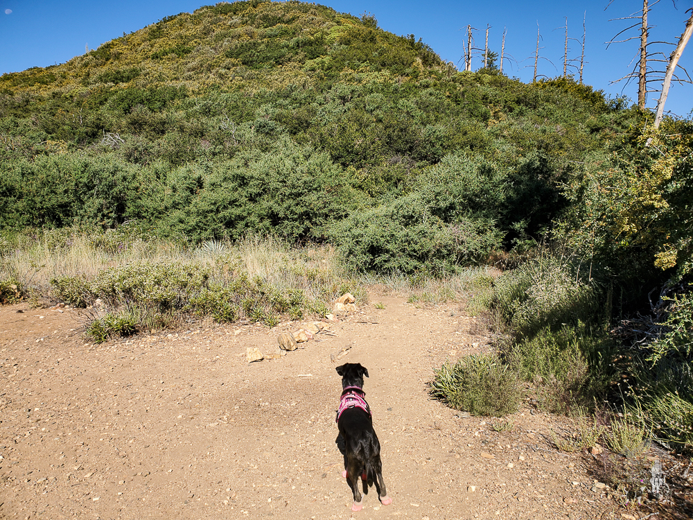
The trail got narrow and steep. Now, the fun begins, and no more shade.

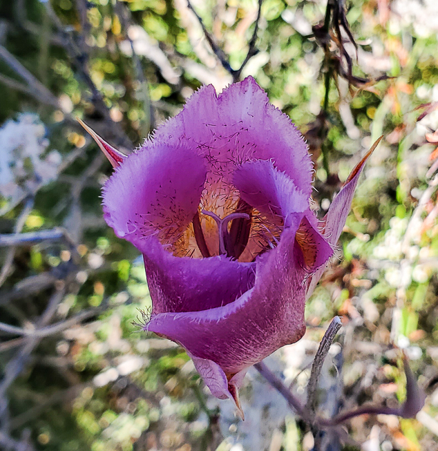
Found some unique flowers along the trail.

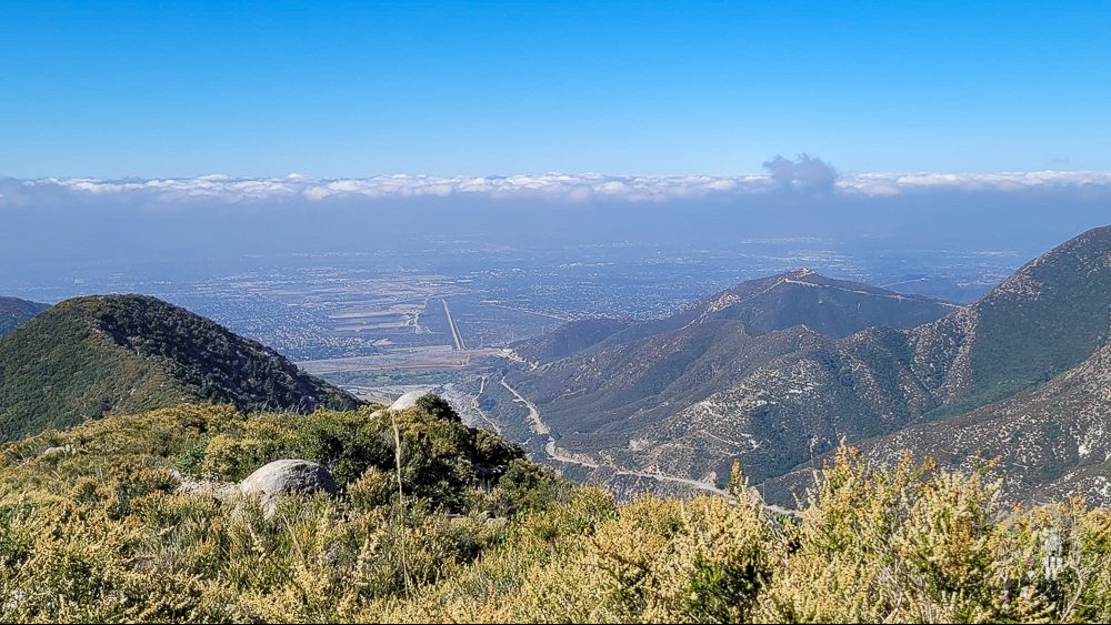
When you think you arrived at the top, sadly you’ll find out that’s not true.
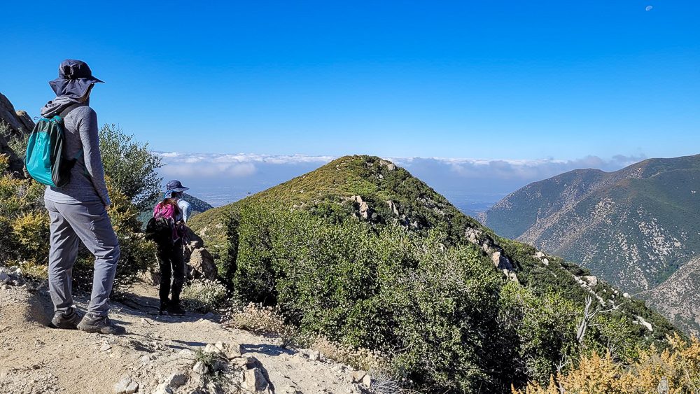
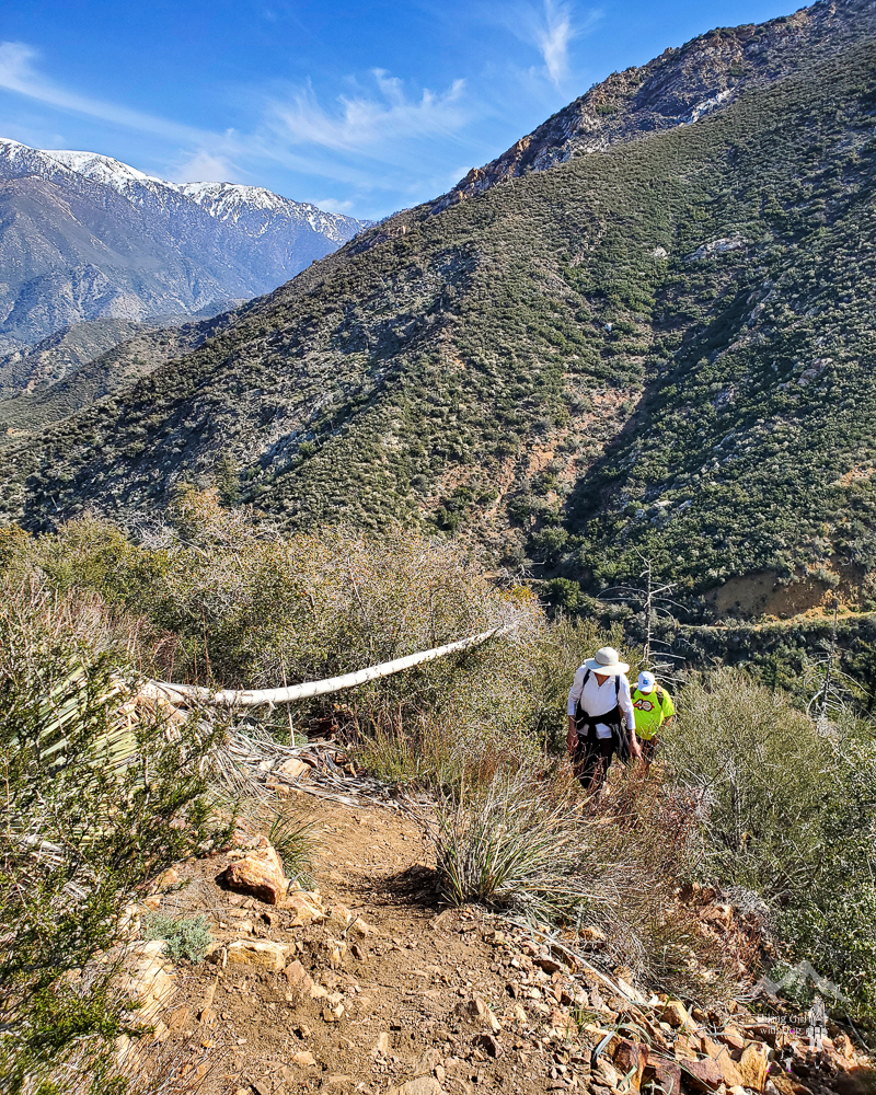
In fact, there will be two false peaks before you actually arrive at Stoddard Peak, so hydrate and pace yourself. You will need to scramble a little bit on the rocky area as well but it is doable.
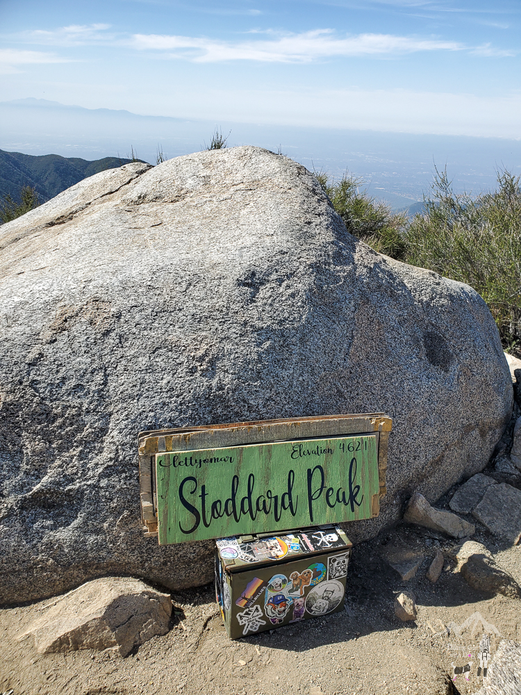
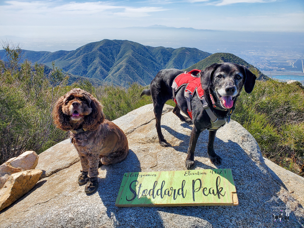
Stoddard Peak
Guess who was waiting at the bottom of the summit to escort us back to the trailhead? Yup, Maya. We didn’t see her this year. This picture was from 2022.

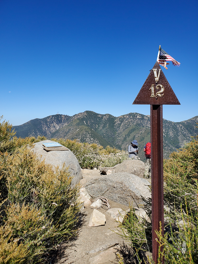
Stoddard Peak is a stunning, fun, challenging hike. That’s why I chose it as one of our guided hikes. Once you are on the trail, there are no signs to guide you. You will need to track your hike.
Good To Know:
- Hike Dates: 6.18.22 & 4.16.23
- Distance: 6 miles RT
- Elevation Gain: 1,160 ft.
- Difficulty Level: Moderately Challenging
- Max Altitude: 4,624 ft,
- Fee/Permit: Forest Adventure Pass
- Trailhead: 34.222547, -117.667628 (copy/paste into your GPS)
- Notable: Fire road, mostly exposed, rocky, scrambling, out and back, no shade at the top, vault toilet


